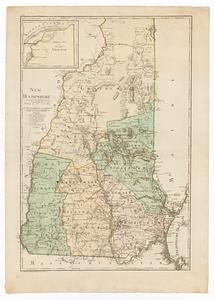
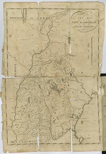
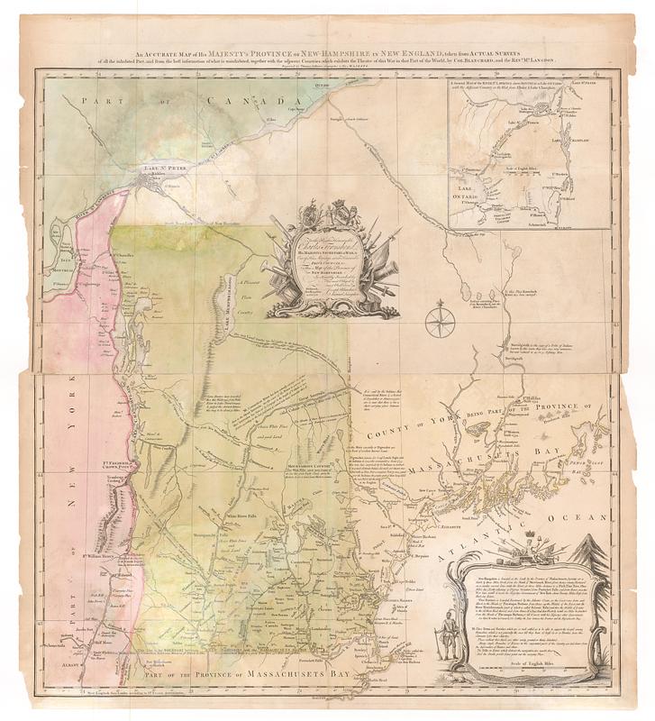
An accurate map of His Majesty's province of New Hampshire in New England, taken from actual surveys of all the inhabited part, and from the best information of what is uninhabited, together with the adjacent countries, which exhibits the theatre of this war in that part of the world
This map is also available in American Revolutionary Geographies Online (ARGO), a collections portal especially built for material relating to the American Revolutionary War Era. Visit ARGO to learn more about this item and explore the historical geography of North America in the late eighteenth century.
Item Information
- Title:
- An accurate map of His Majesty's province of New Hampshire in New England, taken from actual surveys of all the inhabited part, and from the best information of what is uninhabited, together with the adjacent countries, which exhibits the theatre of this war in that part of the world
- Cartographer:
- Blanchard, Joseph, -1758
- Cartographer:
- Langdon, Samuel, 1723-1797
- Engraver:
- Jefferys, Thomas, -1771
- Publisher:
- Jefferys, Thomas, -1771
- Name on Item:
-
by Col. Blanchard, and the Rev.d M.r Langdon ; engraved by Thomas Jefferys, geographer to His Majesty
- Date:
-
[1761]
- Format:
-
Maps/Atlases
- Location:
- MacLean Collection Map Library
- Collection (local):
-
MacLean Collection Map Library
- Subjects:
-
New Hampshire--Maps--Early works to 1800
United States--History--French and Indian War, 1754-1763--Maps--Early works to 1800
- Places:
-
New Hampshire
- Extent:
- 1 map ; 732 x 686 mm
- Terms of Use:
-
Public Domain/No known restrictions on use. Contact host institution to download image.
Contact host institution for more information.
- Publisher:
-
London :
Jefferys Sr., Thomas
- Edition:
- First state
- Language:
-
English
- Notes:
-
"To the right honourable Charles Townshend, His Majesty's secretary at War, & one of His Majesty's most honourable privy council, &c. this map of the province of New Hampshire is humbly inscribed by his most obliged & most obed.t serv.ts Joseph Blanchard, Samuel Langdon. Portsmouth, New Hampshire, 21. Oct.r 1761."
- Notes (date):
-
This date is inferred.
- Identifier:
-
MC_662
- Call #:
-
662