Toggle navigation
LMEC Home
Exhibitions
Georeferencing
Tools for Teachers
Collections
My Favorites
Sign Up / Log In
Search
Search the map portal
Map Collection
Map Collection
Map Sets
Search
Search
Search for
Search In
All Fields
Creator
Title
Subject
Place
Search All Digital Collections
Advanced Search
8550 Results
My Search
Start Over
More Like
commonwealth:4m90fm33t
Remove constraint More Like: commonwealth:4m90fm33t
Filter your Search
Place
North and Central America
5,845
United States
4,769
Massachusetts
2,052
Europe
1,359
Suffolk (county)
1,034
Boston
1,007
Canada
448
Asia
423
more
Place
»
Topic
Boston (Mass.)--Maps
577
United States--Maps
273
Real property--Massachusetts--Boston--Maps
174
Massachusetts--Maps
160
Landowners--Massachusetts--Boston--Maps
132
North America--Maps--Early works to 1800
103
New England--Maps
99
Europe--Maps
78
more
Topic
»
Date
Date range begin
–
Date range end
Current results range from
1482
to
2023
View distribution
Creator
United States. Hydrographic Office
594
O.H. Bailey & Co
148
Des Barres, Joseph F. W. (Joseph Frederick Wallet), 1722-1824
123
United States. Post Office Dept
120
Ptolemy, 2nd cent
100
Walling, Henry Francis, 1825-1888
94
Geological Survey (U.S.)
86
Jefferys, Thomas, -1771
85
more
Creator
»
Format
Maps/Atlases
8,491
Manuscripts
215
Prints
56
Books
36
Objects/Artifacts
10
Drawings/Illustrations
8
Posters
4
Georeferenced
Yes
868
No
7,682
Collection
Norman B. Leventhal Map & Education Center Collection
8,549
Boston and New England Maps
2,204
Urban Maps
1,936
Maritime Charts and Atlases
1,081
American Revolutionary War-Era Maps
616
Boston Redevelopment Authority Collection
87
Sidney R. Knafel Map Collection at Phillips Academy
1
Available to use
No known restrictions
8,408
Creative Commons license
46
Search Constraints
Sort by relevance
relevance
title
date (asc)
date (desc)
Number of results to display per page
50 per page
10
per page
20
per page
50
per page
100
per page
View results as:
grid view
map view
Search Results
1.
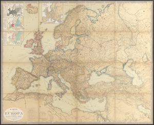
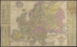
An accurate map of Europe from the best authorities
2.
Angling in troubled waters = der fischfang im truben = la peche en eau trouble = la pesca nelle acque turbes : a serio-comic...
3.
Bacon's large scale shilling map of seat of war from Paris to Berlin, and the Baltic
4.
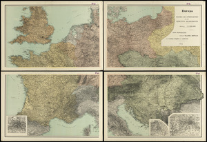
Bacon's map of Europe
5.
Bacon's map of Europe
6.
Bacon's map of Europe
7.
Bacon's military map of Central Europe, in bold print for tracing the movements of the armies
8.
Bacon's new shilling war map Paris to Berlin
9.
Blackwood's map of the seat of war
10.
Bradshaw's map of Europe shewing the railways opened and in progress
11.
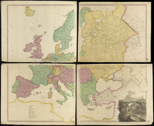
Carte de l'Europe divisée en ses principaux états
12.
Carte des communications télégraphiques du régime européen
13.
Carte ethnographique de l'Europe
14.
Carte générale de l'Europe, en 1824
15.
Carte itinéraire de l'Europe indiquant les limites actuelles des etats : dediée au Roi
16.
Carte itinéraire de l'Europe indiquant les limites actuelles des etats : dédiée au Roi
17.
Carte physique, politique, statistique et comparative de l'Europe, dediée à S.E. le Lieutt. Génl. Comte Guilleminot pair de...
18.
Central & Eastern Europe (nationalities)
19.
A chart of the history of printing in Europe
20.
Collins' map of the seat of war
21.
Cruchley's map of Central Europe, shewing the new political divisions : also all the railways, &c.
22.
Daily mail war map
23.
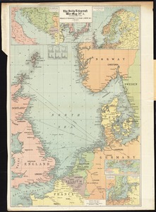
The Daily Telegraph war map no. 10
24.
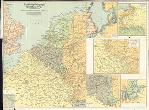
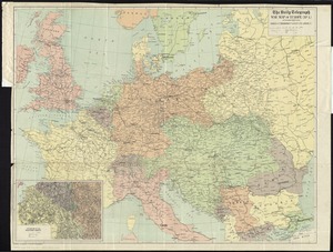
The Daily Telegraph war map no. 2
25.
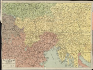
The Daily Telegraph war map no. 3
26.
The Daily Telegraph war map no. 8
27.
The Daily Telegraph war map of Europe (no. 1)
28.
The eclipse map of the seat of war, between France and Prussia, 1870
29.
Eisenbahn, post und dampfschiffskarte von Europa = Railway, steam-boat and post map of Europe = Carte des chemins de fer, voies...
30.
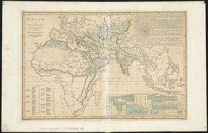
Eslam or the countries which have professed the faith of Mahomet
31.
Europa : teatro de operaciones de los ejercitos beligerantes
32.
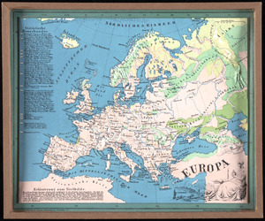
Europa
33.
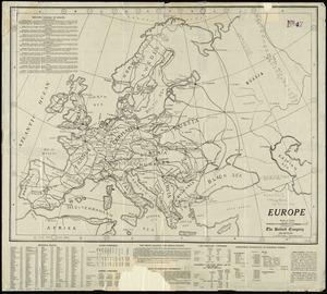
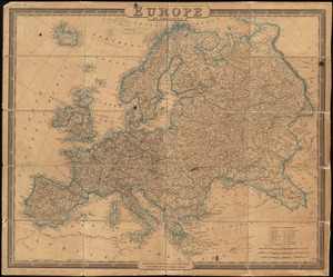
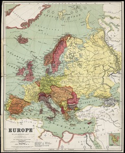
Europe
34.
Europe
35.
Europe
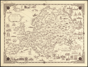
36.
Europe : a pictorial map
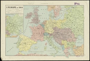
37.
L'Europe de 1914
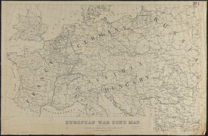
38.
European war zone map
39.
Evropa
40.
Genealogical, chronological and geographical chart embracing Biblical and profane history of ancient times from Adam to Christ
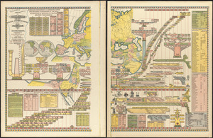
41.
Hammond's enlarged map of Europe of to-day showing boundaries of the new states as determined by the peace conference
42.
Hark! Hark! The dogs do bark! : with note by Walter Emanuel = Horch! Horch! Die hunde bellen! : mit einer begleitschrift von...
43.
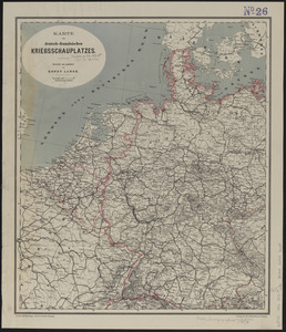
Karte des deutsch-französischen kriegsschauplatzes
44.
Karte vom kriegschauplatz
45.
Karte von Europa und dem Mittelländischen Meere
46.
The lesson of the war map
47.
Letts's war map of Central Europe
48.
The Literary Digest liberty map of the Western Front of the Great World War showing the battle line of liberty as it stood...
49.
Map of Europe : drawn from all the best surveys and rectified by astronomical observations
50.
Map of Europe : compiled from the latest authorities
‹ Prev
Next ›
1
2
3
4
5
…
170
171