Toggle navigation
LMEC Home
Exhibitions
Georeferencing
Tools for Teachers
Collections
My Favorites
Sign Up / Log In
Search
Search the map portal
Map Collection
Map Collection
Map Sets
Search
Search
Search for
Search In
All Fields
Creator
Title
Subject
Place
Search All Digital Collections
Advanced Search
8715 Results
My Search
Start Over
More Like
commonwealth:4m90f3447
Remove constraint More Like: commonwealth:4m90f3447
Filter your Search
Place
North and Central America
5,946
United States
4,864
Massachusetts
2,079
Europe
1,396
Suffolk (county)
1,047
Boston
1,020
Canada
450
Asia
438
more
Place
»
Topic
Boston (Mass.)--Maps
587
United States--Maps
282
Real property--Massachusetts--Boston--Maps
175
Massachusetts--Maps
162
Landowners--Massachusetts--Boston--Maps
133
North America--Maps--Early works to 1800
103
New England--Maps
102
Europe--Maps
79
more
Topic
»
Date
Date range begin
–
Date range end
Current results range from
1482
to
2023
View distribution
Creator
United States. Hydrographic Office
595
O.H. Bailey & Co
148
Des Barres, Joseph F. W. (Joseph Frederick Wallet), 1722-1824
123
United States. Post Office Dept
120
Ptolemy, 2nd cent
100
Walling, Henry Francis, 1825-1888
94
Geological Survey (U.S.)
86
Jefferys, Thomas, -1771
85
more
Creator
»
Format
Maps/Atlases
8,655
Manuscripts
217
Prints
56
Books
36
Objects/Artifacts
10
Drawings/Illustrations
8
Posters
5
Georeferenced
Yes
869
No
7,846
Collection
Norman B. Leventhal Map & Education Center Collection
8,694
Boston and New England Maps
2,233
Urban Maps
2,023
Maritime Charts and Atlases
1,083
American Revolutionary War-Era Maps
635
Boston Redevelopment Authority Collection
87
William L. Clements Library Collection
12
American Antiquarian Society Collection
4
more
Collection
»
Available to use
No known restrictions
8,554
Creative Commons license
49
Search Constraints
Sort by relevance
relevance
title
date (asc)
date (desc)
Number of results to display per page
20 per page
10
per page
20
per page
50
per page
100
per page
View results as:
grid view
map view
Search Results
41.
A plan of New York Island with the circumjacent country as far as Dobb's Ferry to the north, and White-Plains the the east;...
42.
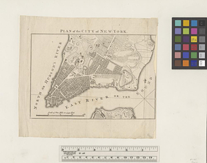
Plan of the city of New York
43.
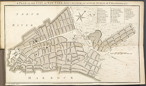
A Plan of the city of New York
44.
Plan of the city of New York in North America : surveyed in the years 1766 & 1767
45.
Plan of the city of New-York
46.
A plan of the city of New-York, reduced from an actual survey
47.
The provinces of New York, and New Jersey, : with part of Pensilvania [sic], and the province of Quebec
48.
The seat of action, between the British and American forces or an authentic plan of the western part of Long Island, with the...
49.
Sketch of the country illustrating the late engagement in Long Island
50.
This plan of the City of New York (within the palisades which were erected in the year 1743) was made for the purpose of...
51.
Various plans and draughts of cities, towns, harbours &c. drawn from the latest authorities
52.
Ville de Manathe ou Nouvelle-Yorc
53.
The 100th anniversary map of Abraham Lincoln's visit to Massachusetts, September 11-23, 1848
54.
1630 shoreline
55.
1879. Progress map of the U.S. Geographical Surveys west of the 100th Meridian : prepared under the direction of 1st Lieut....
56.
1903 Map of Salem and surrounding places
57.
19th annual convention of the National Association of Real Estate Boards : at Tulsa, June 7 to June 11 in 1926
58.
2005 significant U.S. hurricane strikes
59.
The 2100 project : an atlas for the Green New Deal
60.
227 Harzgerode
‹ Prev
Next ›
1
2
3
4
5
6
7
…
435
436