Toggle navigation
LMEC Home
Collections
My Favorites
Exhibitions
Georeferencing
Tools for Teachers
Sign Up / Log In
Search
Search the map portal
Search
Search
Search for
Search in
All Fields
Title
Subject
Place
Creator
Search All Digital Collections
Advanced Search
9022 Results
Search Constraints
My Search
Start Over
More like
commonwealth:3f463882w
Remove constraint More like: commonwealth:3f463882w
Filter your Search
Show filters
Hide filters
Place
North and Central America
6,192
United States
5,093
Massachusetts
2,192
Europe
1,420
Suffolk (county)
1,090
Boston
1,059
Canada
464
Asia
447
more
Place
»
Topic
Boston (Mass.)--Maps
600
United States--Maps
301
Real property--Massachusetts--Boston--Maps
180
Massachusetts--Maps
173
Landowners--Massachusetts--Boston--Maps
138
New England--Maps
110
North America--Maps--Early works to 1800
103
Europe--Maps
82
more
Topic
»
Creator
United States. Hydrographic Office
599
O.H. Bailey & Co
148
Des Barres, Joseph F. W. (Joseph Frederick Wallet), 1722-1824
122
United States. Post Office Dept
120
Geological Survey (U.S.)
100
Ptolemy, 2nd cent
100
Walling, Henry Francis, 1825-1888
94
Jefferys, Thomas, -1771
85
more
Creator
»
Format
Maps/Atlases
8,953
Manuscripts
215
Prints
56
Books
42
Objects/Artifacts
13
Drawings/Illustrations
8
Ephemera
8
Documents
5
more
Format
»
Georeferenced
Yes
964
No
8,058
Collection
Norman B. Leventhal Map & Education Center Collection
9,022
Boston and New England Maps
2,372
Urban Maps
2,082
Maritime Charts and Atlases
1,089
American Revolutionary War-Era Maps
620
Boston Redevelopment Authority Collection
87
Applied Geographics, Inc. Records
4
Available to use
No known restrictions
8,868
Creative Commons license
60
Sort
by relevance
relevance
title
date (asc)
date (desc)
recently added
Number of results to display per page
20
per page
per page
10
per page
20
per page
50
per page
100
per page
Search Results
1.
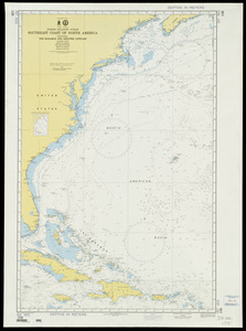
North Atlantic Ocean, southeast coast of North America, including the Bahamas and Greater Antilles
2.
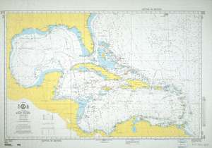
North Atlantic Ocean, West Indies
3.
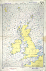
British Isles
4.
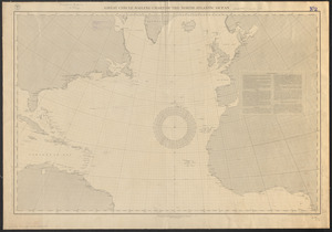
Great circle sailing chart of the North Atlantic Ocean
5.
North Atlantic Ocean : compiled from the latest information, 1888
6.
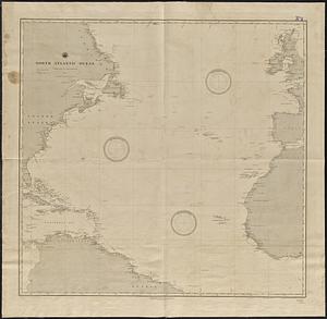
North Atlantic Ocean
7.
North Atlantic Ocean
8.
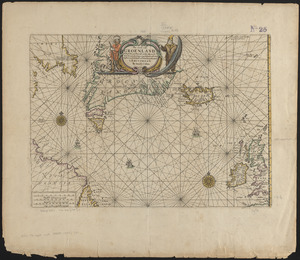
Pas caerte van Groenland, Ysland, Straet Davids en Ian Mayen eyland hoemen de selvige van Hitland en de noort kusten van...
9.
Wind and current chart of the North Atlantic [sheet 1]
10.
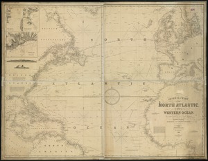
General chart, of the North Atlantic, or Western Ocean, from the equator to 62° north latitude, according to the latest,...
11.
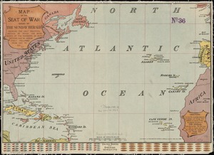
Map of the seat of war : showing the only practical method by which the movements of the warships of both nations can be...
12.
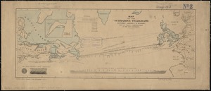
Map of the submarine telegraph between America & Europe, with its various communications on the two continents
13.
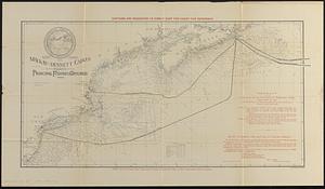
Map showing the Mackay-Bennett cables in the vicinity of the principal fishing grounds
14.
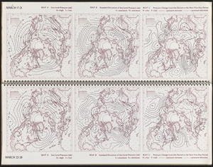
March 17-21 ; March 22-26
15.
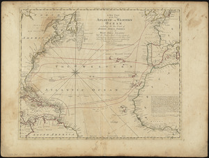
A new chart of the vast Atlantic or Western Ocean including the sea coast of Europe, Africa, America, and the West India...
16.
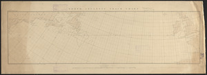
North Atlantic track chart
17.
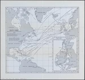
Route chart showing routes to and from northwestern Europe
18.
Route of the Massachusetts nautical training ship Ranger, 1909
19.
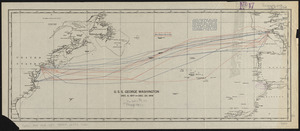
U.S.S. George Washington Dec. 4, 1917 - Dec. 23, 1918
20.
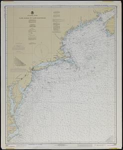
Atlantic coast, Cape Sable to Cape Hatteras
« Previous
Next »
1
2
3
4
5
…
451
452