Toggle navigation
LMEC Home
Exhibitions
Georeferencing
Tools for Teachers
Collections
My Favorites
Sign Up / Log In
Search
Search the map portal
Map Collection
Map Collection
Map Sets
Search
Search
Search for
Search In
All Fields
Creator
Title
Subject
Place
Search All Digital Collections
Advanced Search
217 Results
My Search
Start Over
More Like
commonwealth:3f462w00z
Remove constraint More Like: commonwealth:3f462w00z
Filter your Search
Place
North and Central America
194
United States
185
Boston
119
Suffolk (county)
118
Massachusetts
114
Boston Harbor
48
New England
34
World
19
more
Place
»
Topic
Boston (Mass.)--Maps--Early works to 1800
46
Boston (Mass.)--History--Revolution, 1775-1783--Maps--Early works to 1800
45
Boston Harbor (Mass.)--Maps--Early works to 1800
31
Fortification--Massachusetts--Boston--Maps--Early works to 1800
30
New England--Maps--Early works to 1800
28
Boston (Mass.)--Maps
20
World maps--Early works to 1800
19
Bunker Hill, Battle of, Boston, Mass., 1775--Maps--Early works to 1800
18
more
Topic
»
Date
Date range begin
–
Date range end
Current results range from
1493
to
1927
View distribution
Creator
Page, Thomas Hyde, Sir, 1746-1821
14
Aitken, Robert, 1735-1802
6
Bellin, Jacques Nicolas, 1703-1772
6
Faden, William, 1749-1836
6
Southack, Cyprian, 1662-1745
6
United States Coast Survey
6
Beaurain, Jean de, 1696-1771
5
Des Barres, Joseph F. W. (Joseph Frederick Wallet), 1722-1824
5
more
Creator
»
Format
Maps/Atlases
213
Manuscripts
15
Drawings/Illustrations
3
Prints
1
Georeferenced
Yes
36
No
181
Collection
Norman B. Leventhal Map & Education Center Collection
183
Mapping Boston Collection
139
Boston and New England Maps
116
American Revolutionary War-Era Maps
103
Urban Maps
44
Maritime Charts and Atlases
32
Richard H. Brown Revolutionary War Map Collection at Mount Vernon
19
Library of Congress Collection
11
more
Collection
»
Available to use
Creative Commons license
171
No known restrictions
46
Search Constraints
Sort by relevance
relevance
title
date (asc)
date (desc)
Number of results to display per page
50 per page
10
per page
20
per page
50
per page
100
per page
View results as:
grid view
map view
Search Results
51.
A chart of the harbour of Boston
52.
A draught of Boston Harbor by Capt. Cyprian Southake
53.
Die gegend um Boston
54.
Grundriss von der Stadt Boston und ihren Gegenden
55.
Grundriss von der stadt Boston und ihren gegenden
56.
A map of 100 miles round Boston
57.
A map of the most inhabited part of New England : containing the provinces of Massachusets Bay and New Hampshire, with the...
58.
A map of the most inhabited part of New England : containing the provinces of Massachusets Bay and New Hampshire, with the...
59.
A new and accurate plan of the town of Boston in New England : A new plan of Boston Harbor from an actual survey
60.
A New Plan of ye Great Town of BOSTON in New England in AMERICA with the many Additionall Buildings & New Streets to the Year,...
61.
A new plan of ye great town of Boston in New England in America, with the many additionall buildings & new streets to the year...
62.
A new plan of ye great town of Boston in New England in America, with the many additionall [sic] buildings, & new streets, to...
63.
Particular draughts and plans of some of the principal towns and harbours belonging to the English, French, and Spaniards, in...
64.
Plan de Boston
65.
Plan de Boston
66.
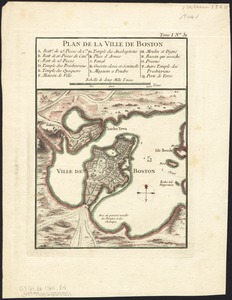
Plan de la ville de Boston
67.
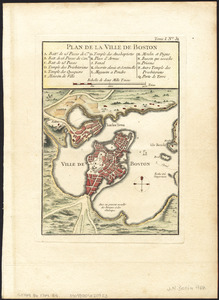
Plan de la ville de Boston
68.
Plan de la ville de Boston et ses environs
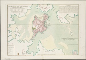
69.
Plan de la ville et du port de Boston : capitale de la Nouvelle Angleterre
70.
Plan de la ville et du port de Boston : capitale de la Nouvelle Angleterre
71.
A plan of Boston, from actual survey
72.
A plan of Boston, from actual survey
73.
A Plan of the Battle of Bunker Hill
74.
The seat of war, in New England, by an American volunteer : with the marches of the several corps sent by the colonies, towards...
75.
The seat of war in New England, by an American volunteer : with the marches of the several corps sent by the Colonies towards...
76.
The seat of war in New England, by an American volunteer : with the marches of the several corps sent by the Colonies towards...
77.
Thirty-miles round Boston
78.
The town of Boston in New England
79.
The town of Boston in New England
80.
The town of Boston in New England
81.
An accurate map of the country round Boston in New England from the best authorities
82.
An accurate map of the country round Boston in New England from the best authorities
83.
Boston with its environs
84.
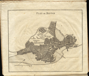
[Map of Boston]
85.
Order of battle of the army under the command of Lt. General Gage at Boston, July 17th, 1775
86.
Plan de Boston
87.
A plan of the action at Breeds Hill, on the 17th of June 1775 : between the American forces and the British troops :...
88.
A plan of the action at Bunkers Hill, on the 17th. of June, 1775 : between His Majesty's troops under the command of Major...
89.
A plan of the action at Bunkers Hill on the 17th of June 1775 between His Majesty's troops, under the command of Major General...
90.
A plan of the action at Bunkers Hill on the 17th of June 1775 between His Majesty's troops, under the command of Major General...
91.
Plan of the battle, on Bunker's Hill : fought on the 17th of June 1775
92.
Plan of the town of Boston, with the attack on Bunkers-Hill, in the peninsula of Charlestown, the 17th of June, 1775
93.
Plan of the town of Boston with the attack on Bunkers-Hill in the peninsula of Charlestown the 17th of June 1775
94.
Situations plan der Englischen Armée vor und um Boston nebst der stellung der Americaner
95.
A sketch of the action between the British forces and the American provincials, on the heights of the peninsula of Charlestown,...
96.
[The burnt ruins of Charlestown from across the Charles River]
97.
[Troops on parade, the Charles River and Castle Island]
98.
[View of the Charles River]
99.
The able doctor; or America swallowing the bitter draught
100.
An accurate map of North America : describing and distinguishing the British and Spanish dominions on this great continent :...
‹ Prev
Next ›
1
2
3
4
5


![A new plan of ye great town of Boston in New England in America, with the many additionall [sic] buildings, & new streets, to the year, 1769](https://bpldcassets.blob.core.windows.net/derivatives/images/commonwealth:3f462v50z/image_thumbnail_300.jpg)


![[Map of Boston]](https://bpldcassets.blob.core.windows.net/derivatives/images/commonwealth:z603vw17n/image_thumbnail_300.jpg)


![[The burnt ruins of Charlestown from across the Charles River]](https://bpldcassets.blob.core.windows.net/derivatives/images/commonwealth:dz010v71m/image_thumbnail_300.jpg)
![[Troops on parade, the Charles River and Castle Island]](https://bpldcassets.blob.core.windows.net/derivatives/images/commonwealth:dz010v69k/image_thumbnail_300.jpg)
![[View of the Charles River]](https://bpldcassets.blob.core.windows.net/derivatives/images/commonwealth:dz010v735/image_thumbnail_300.jpg)

