Toggle navigation
LMEC Home
Exhibitions
Georeferencing
Tools for Teachers
Collections
My Favorites
Sign Up / Log In
Search
Search the map portal
Map Collection
Map Collection
Map Sets
Search
Search
Search for
Search In
All Fields
Creator
Title
Subject
Place
Search All Digital Collections
Advanced Search
13385 Results
Filter your Search
Place
North and Central America
10,111
United States
8,249
Massachusetts
2,691
Suffolk (county)
1,664
Boston
1,621
Europe
1,386
Canada
949
New York
640
more
Place
»
Topic
Boston (Mass.)--Maps
741
City planning--Massachusetts--Boston--Maps
418
United States--History--Revolution, 1775-1783--Maps
329
United States--Maps
315
Urban renewal--Massachusetts--Boston--Maps
254
Real property--Massachusetts--Boston--Maps
252
Massachusetts--Maps
219
Insurance surveys
197
more
Topic
»
Date
Date range begin
–
Date range end
Current results range from
1482
to
2023
View distribution
Creator
United States. Hydrographic Office
595
Boston Redevelopment Authority
403
Des Barres, Joseph F. W. (Joseph Frederick Wallet), 1722-1824
247
Royal United Services Institute for Defence and Security Studies
160
Jefferys, Thomas, -1771
154
George, III, King of Great Britain, 1738-1820
152
George, IV, King of Great Britain, 1762-1830
151
O.H. Bailey & Co
148
more
Creator
»
Format
Maps/Atlases
13,205
Manuscripts
985
Prints
102
Books
49
Drawings/Illustrations
44
Photographs
15
Objects/Artifacts
13
Documents
7
more
Format
»
Georeferenced
Yes
979
No
12,406
Collection
Norman B. Leventhal Map & Education Center Collection
8,891
American Revolutionary War-Era Maps
3,305
Boston and New England Maps
2,804
Urban Maps
2,397
Maritime Charts and Atlases
1,150
William L. Clements Library Collection
910
Library of Congress Collection
618
Boston Redevelopment Authority Collection
475
more
Collection
»
Available to use
No known restrictions
9,952
Creative Commons license
1,677
Search Constraints
Sort by relevance
relevance
title
date (asc)
date (desc)
Number of results to display per page
20 per page
10
per page
20
per page
50
per page
100
per page
View results as:
grid view
map view
Search Results
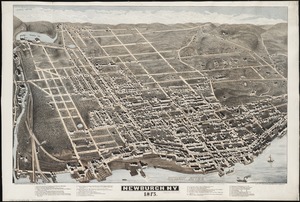
7221.
Newburgh, N.Y : 1875
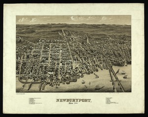
7222.
Newburyport, Mass
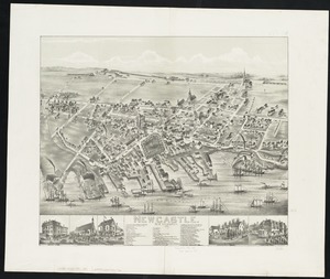
7223.
Newcastle : New Brunswick
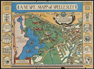
7224.
A newe mapp of Wellesley
7225.
New-England
7226.
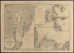
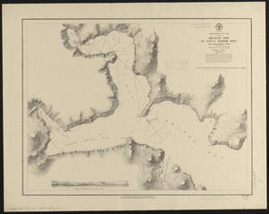
Newfoundland - east coast - Canada Bay with adjacent anchorages : from a French government survey ; 1862-3
7227.
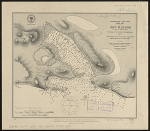
Newfoundland - east coast, Hare Bay, How Harbor (Outarde or Bustard Bay)
7228.
Newfoundland - north coast, Pistolet Bay : from a French survey in 1861
7229.
Newfoundland - north west coast, St. Genevieve Bay : from a survey of Captain G. Cloué, French navy, in 1861
7230.
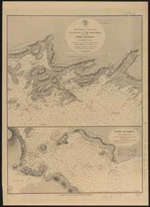
Newfoundland - south coast, Duck Island to Ship Rock Shoal, including Port Basque : from British surveys ; Port Basque : on an...
7231.
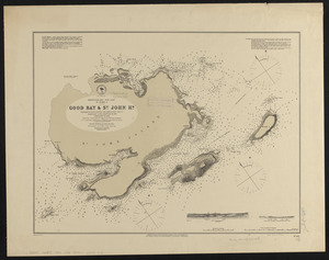
Newfoundland - west coast, St. John I., Good Bay & St. John Hr.
7232.
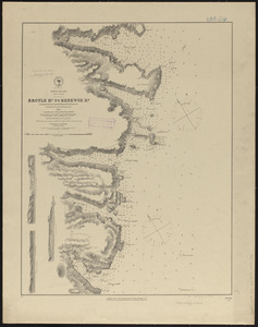
Newfoundland, east coast, Broyle Hr. to Renewse Hr. including Caplin Bay, Ferryland Hr., Aquafort Hr. & Fermeuse Hr.
7233.
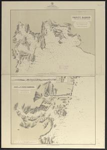
Newfoundland, east coast, harbors in Trinity Bay : from British surveys in 1864 & 1865, corrected to 1874
7234.
Newfoundland, east coast, harbors in Trinity Bay, sheet II : from British surveys, corrected to 1874
7235.
Newfoundland, east coast, Orange Bay or Great Harbor Deep : from a French survey in 1870
7236.
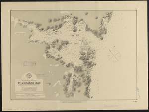
Newfoundland, n. e. coast, St. Lunaire Bay
7237.
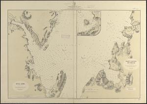
Newfoundland--east coast, Conception Bay, Carbonear to Brigus Bay including Harbor Grace : from a Brit. survey in 1866,...
7238.
Newfoundland--south coast, the Burgeo Islands : from British surveys in 1872 ; republication of Brit. Admty. chart no. 272
7239.
New-Hampshire : from late survey
7240.
Newichawanick Company (Cotton & Wool), South Berwick, Me. [insurance map]
‹ Prev
Next ›
1
2
…
358
359
360
361
362
363
364
365
366
…
669
670


![Newichawanick Company (Cotton & Wool), South Berwick, Me. [insurance map]](https://bpldcassets.blob.core.windows.net/derivatives/images/commonwealth:ww72bx28p/image_thumbnail_300.jpg)