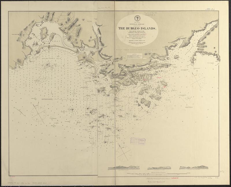
Newfoundland--south coast, the Burgeo Islands : from British surveys in 1872 ; republication of Brit. Admty. chart no. 272
Item Information
- Title:
- Newfoundland--south coast, the Burgeo Islands : from British surveys in 1872 ; republication of Brit. Admty. chart no. 272
- Issuing body:
- United States. Hydrographic Office
- Date:
-
[1886]
- Format:
-
Maps/Atlases
- Genre:
-
Nautical charts
- Location:
-
Boston Public Library
Norman B. Leventhal Map & Education Center - Collection (local):
-
Norman B. Leventhal Map & Education Center Collection
- Subjects:
-
Burgeo Islands (N.L.)--Maps
Barasway Bay (N.L.)--Maps
Bay de Loup (N.L.)--Maps
Coasts--Newfoundland and Labrador--Maps
Nautical charts--Newfoundland and Labrador--Burgeo Islands
Nautical charts--Newfoundland and Labrador--Barasway Bay
Nautical charts--Newfoundland and Labrador--Bay de Loup
- Places:
-
CanadaNewfoundland and Labrador (province)Burgeo Islands (island)
Barasway Bay
Bay de Loup
- Extent:
- 1 map ; 64 x 82 cm
- Terms of Use:
-
No known copyright restrictions.
No known restrictions on use.
- Publisher:
-
Washington, D.C. :
Hydrographic Office
- Scale:
-
Scale approximately 1:25,000
- Language:
-
English
- Notes:
-
Relief shown by hachures and spot heights. Depths shown by soundings and isolines.
Includes 3 coastal views.
Boston Public Library copy includes manuscript additions in red ink.
"Cor. (I.77.)(VI.86.)."
- Notes (date):
-
This date is inferred.
- Identifier:
-
06_01_017033
- Call #:
-
G9096.P5 svar .U55 no. 561
- Barcode:
-
39999085953949


