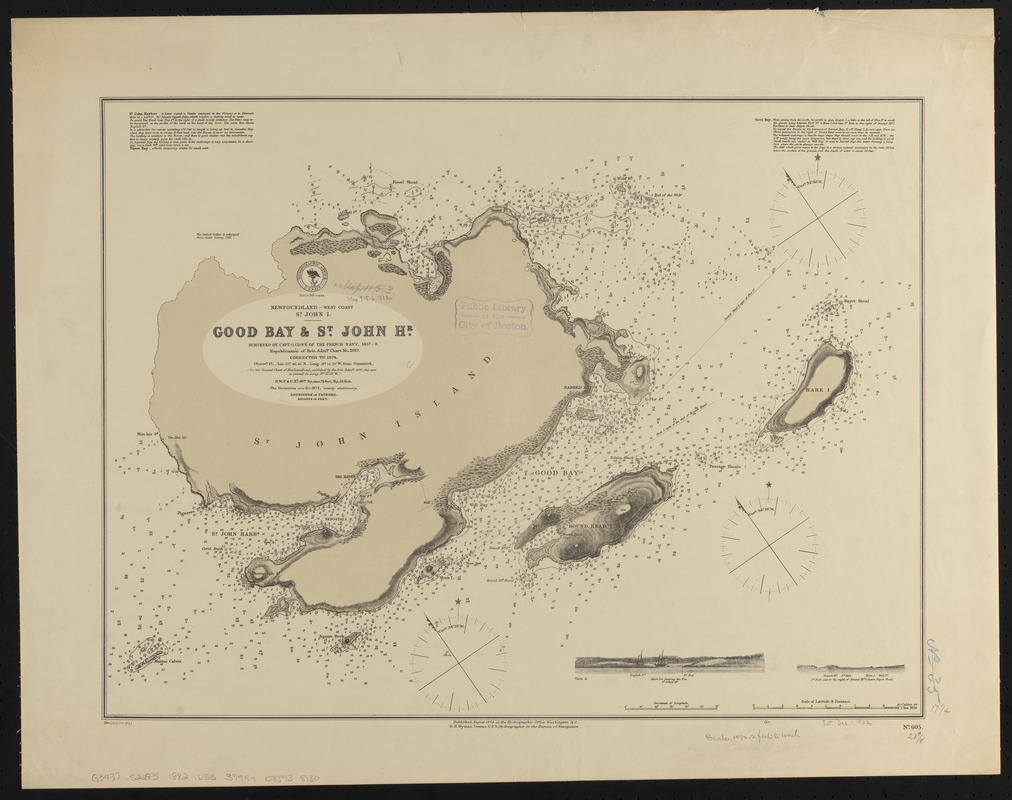
Newfoundland - west coast, St. John I., Good Bay & St. John Hr.
Item Information
- Title:
- Newfoundland - west coast, St. John I., Good Bay & St. John Hr.
- Title (alt.):
-
Good Bay & St. John Hr.
- Issuing body:
- United States. Hydrographic Office
- Surveyor:
- Cloué, Georges-Charles, 1817-1889
- Name on Item:
-
surveyed by Capt. G. Cloué of the French navy, 1857-9 ; republication of Brit. Admty. chart no. 2917, corrected to 1874
- Date:
-
1882
- Format:
-
Maps/Atlases
- Location:
-
Boston Public Library
Norman B. Leventhal Map & Education Center - Collection (local):
-
Norman B. Leventhal Map & Education Center Collection
- Subjects:
-
Nautical charts--Newfoundland and Labrador--Saint John Island
Nautical charts--Newfoundland and Labrador--Good Bay
Saint John Island (N.L.)--Maps
Good Bay (N.L.)--Maps
- Places:
-
CanadaNewfoundland and Labrador (province)
Good Bay
- Extent:
- 1 map : color ; 44 x 59 cm
- Terms of Use:
-
No known copyright restrictions.
No known restrictions on use.
- Publisher:
-
Washington, D.C. :
Hydrographic Office
- Scale:
-
Scale approximately 1:17,700
- Language:
-
English
- Notes:
-
Relief shown by hachures and spot heights. Depths shown by soundings and form lines.
Includes 2 coastal views.
"Cor. (48.VII'82."
- Identifier:
-
06_01_015573
- Call #:
-
G9096.P5 svar .U55
- Barcode:
-
39999085938130


