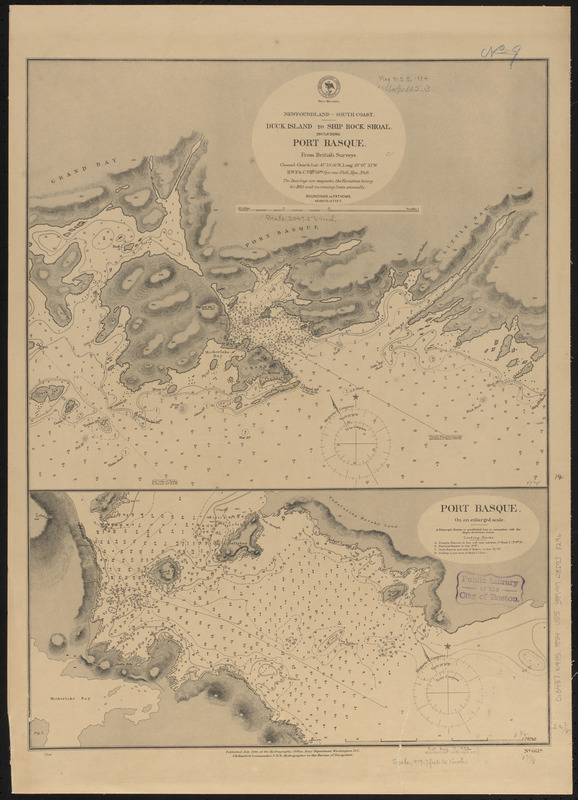
Newfoundland - south coast, Duck Island to Ship Rock Shoal, including Port Basque : from British surveys ; Port Basque : on an enlarged scale
Item Information
- Title:
- Newfoundland - south coast, Duck Island to Ship Rock Shoal, including Port Basque : from British surveys ; Port Basque : on an enlarged scale
- Title (alt.):
-
Duck Island to Ship Rock Shoal, including Port Basque
Port Basque : on an enlarged scale
- Issuing body:
- United States. Hydrographic Office
- Printer:
- Leggo Bros. & Co.
- Date:
-
1884
- Format:
-
Maps/Atlases
- Location:
-
Boston Public Library
Norman B. Leventhal Map & Education Center - Collection (local):
-
Norman B. Leventhal Map & Education Center Collection
- Subjects:
-
Coasts--Newfoundland and Labrador--Maps
Nautical charts--Newfoundland and Labrador--Port aux Basques (Harbor)
Port aux Basques (N.L. : Harbor)--Maps
- Places:
-
CanadaNewfoundland and Labrador (province)Channel Port aux Basques
- Extent:
- 2 maps on 1 sheet ; 58 x 44 cm
- Terms of Use:
-
No known copyright restrictions.
No known restrictions on use.
- Publisher:
-
Washington, D.C. :
Hydrographic Office
- Scale:
-
Scale approximately 1:6,200
Scale approximately 1:24,500
- Language:
-
English
- Table of Contents:
-
Duck Island to Ship Rock Shoal, including Port Basque
Port Basque : on an enlarged scale.
- Notes:
-
Relief shown by hachures and sport heights. Depths shown by soundings and form lines.
- Identifier:
-
06_01_015557
- Call #:
-
G9096.P5 svar .U55
- Barcode:
-
39999085938296


