Toggle navigation
LMEC Home
Exhibitions
Georeferencing
Tools for Teachers
Collections
My Favorites
Sign Up / Log In
Search
Search the map portal
Map Collection
Map Collection
Map Sets
Search
Search
Search for
Search In
All Fields
Creator
Title
Subject
Place
Search All Digital Collections
Advanced Search
10179 Results
My Search
Start Over
All Fields
americas
Remove constraint All Fields: americas
Filter your Search
Place
North and Central America
9,353
United States
6,859
Suffolk (county)
1,662
Boston
1,619
Canada
833
Massachusetts
794
New York
532
Middlesex (county)
424
more
Place
»
Topic
Boston (Mass.)--Maps
740
City planning--Massachusetts--Boston--Maps
418
United States--History--Revolution, 1775-1783--Maps
327
Urban renewal--Massachusetts--Boston--Maps
254
Real property--Massachusetts--Boston--Maps
252
Massachusetts--Maps
219
Insurance surveys
194
Fire risk assessment
193
more
Topic
»
Date
Date range begin
–
Date range end
Current results range from
1507
to
2023
View distribution
Creator
Boston Redevelopment Authority
403
United States. Hydrographic Office
332
Des Barres, Joseph F. W. (Joseph Frederick Wallet), 1722-1824
189
Jefferys, Thomas, -1771
150
George, III, King of Great Britain, 1738-1820
146
O.H. Bailey & Co
146
George, IV, King of Great Britain, 1762-1830
145
Royal United Services Institute for Defence and Security Studies
139
more
Creator
»
Format
Maps/Atlases
10,059
Manuscripts
912
Prints
58
Drawings/Illustrations
43
Books
42
Photographs
15
Objects/Artifacts
6
Ephemera
2
more
Format
»
Georeferenced
Yes
754
No
9,425
Collection
Norman B. Leventhal Map Center Collection
5,945
American Revolutionary War-Era Maps
3,085
Boston and New England Maps
2,801
Urban Maps
2,248
William L. Clements Library Collection
892
Maritime Charts and Atlases
726
Library of Congress Collection
552
Boston Redevelopment Authority Collection
475
more
Collection
»
Available to use
No known restrictions
7,066
Creative Commons license
1,539
Search Constraints
Sort by relevance
relevance
title
date (asc)
date (desc)
Number of results to display per page
20 per page
10
per page
20
per page
50
per page
100
per page
View results as:
grid view
map view
Search Results
1301.
Boston's top foreign-born populations : Salvadorans
1302.
Boston's top foreign-born populations : Chinese
1303.
Boston's top foreign-born populations : Vietnamese
1304.
Ipswich, Mass : incorporated 1634
1305.
A plan of Quebec and environs, with its defences and the occasional entrenched camps of the French commanded by Marquis de...
1306.
Map of Boston Common and Public Garden
1307.
British Isles
1308.
Ireland, from the best authorities : with distances in miles from Dublin
1309.
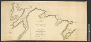
A plan of the sea coast from Gage Point to Cumberland Cape including Dartmouth and Granby Bays with the coal mines in that...
1310.
Map of the United States and territories with adjacent parts of Canada and Mexico, also part of the West India Islands :...
1311.
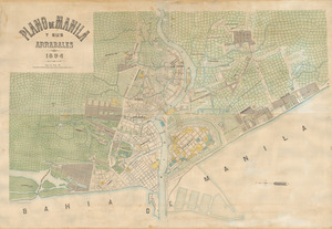
Plano de Manila y sus arrabales 1894
1312.
Uniuersalior cogniti orbis tabula ex recentibus confecta obseruationibus
1313.
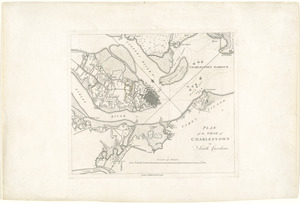
Plan of the siege of Charlestown in South Carolina
1314.
Outline map of the lands known as Oklahoma, Indian Ter. opened to settlement by Executive Order March 23, 1889
1315.
Map of an exploring expedition to the Rocky Mountains in the year 1842 and to Oregon & north California in the years 1843-44
1316.
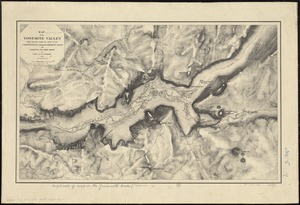
Map of the Yosemite Valley : from surveys made by order of the Commissioners to manage the Yosemite Valley and Mariposa Big...
1317.
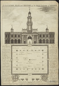
An elevation, plan, and history, of the Royal Exchange of London
1318.
How the public domain has been squandered, map showing the 139,403,026 acres of the people's land - equal to 871,268 farms of...
1319.
Geographical, historical, and statistical map of Massachusetts
1320.
Belgii Novi, Angliae Novae, et partis Virginiae : novissima delineatio
‹ Prev
Next ›
1
2
…
62
63
64
65
66
67
68
69
70
…
508
509