Toggle navigation
LMEC Home
Exhibitions
Georeferencing
Tools for Teachers
Collections
My Favorites
Sign Up / Log In
Search
Search the map portal
Map Collection
Map Collection
Map Sets
Search
Search
Search for
Search In
All Fields
Creator
Title
Subject
Place
Search All Digital Collections
Advanced Search
32 Results
My Search
Start Over
1999
Remove constraint 1999
Filter your Search
Place
North and Central America
32
United States
31
Boston
18
Suffolk (county)
18
Massachusetts
8
New England
5
Canada
3
Hampshire (county)
3
more
Place
»
Topic
Boston (Mass.)--Historical geography--Maps
10
City planning--Massachusetts--Boston--Maps
3
New England--Maps--Early works to 1800--Facsimiles
3
Allston (Boston, Mass.)--Maps
2
Boston (Mass.)--Maps
2
Brighton (Boston, Mass.)--Maps
2
Massachusetts--Maps
2
Urban renewal--Massachusetts--Boston--Maps
2
more
Topic
»
Date
Date range begin
–
Date range end
Current results range from
1664
to
2002
View distribution
Creator
Map Works, Inc.
9
Boston Redevelopment Authority
5
Applied Geographics, Inc.
3
MassGIS (Office : Mass.)
3
Massachusetts. Executive Office of Environmental Affairs
2
Boston (Mass.). Department of Parks. Board of Commissioners
1
Cook, Zeba
1
Davis, Thomas W., surveyor
1
more
Creator
»
Format
Maps/Atlases
32
Manuscripts
2
Georeferenced
Yes
2
No
30
Collection
Norman B. Leventhal Map Center Collection
29
Boston and New England Maps
21
Urban Maps
17
Boston Redevelopment Authority Collection
5
Applied Geographics, Inc. Records
3
David Judkins Weaver Papers
3
American Revolutionary War-Era Maps
1
British Library Collection
1
more
Collection
»
Available to use
No known restrictions
30
Creative Commons license
2
Search Constraints
Sort by relevance
relevance
title
date (asc)
date (desc)
Number of results to display per page
50 per page
10
per page
20
per page
50
per page
100
per page
View results as:
grid view
map view
Search Results
1.
Metacomet-Monadnock Trail : an analysis of landuse
2.
Boston shoreline 1630
3.
Boston shoreline 1795
4.
Boston shoreline 1852
5.
Boston shoreline 1880
6.
Boston shoreline 1916
7.
Boston shoreline 1934
8.
Boston shoreline 1950
9.
Boston shoreline 1995
10.
Boston shoreline composite
11.
Map of Las Ormigas Grant, Sabine and DeSoto Parishes, Louisiana
12.
Developable lands and partial constraints : town of Taunton
13.
PVTA bus map & guide
14.
Town of Plymouth [land development planning]
15.
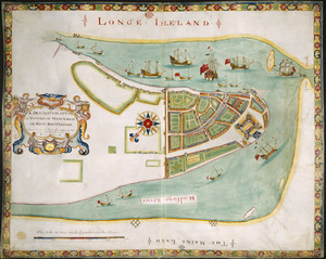
A DESCRIPTION OF THE TOWNE OF MANNADOS OR NEW AMSTERDAM as it was in September 1661 lying in Latitude 40 de: and 40,: Anno...
16.
A draught of St. John's harbour : with the soundings
17.
A map of New England and New York
18.
Map of the Back Bay Fens showing the public ways bordering and crossing them and the neighboring newly laid out parts of...
19.
A mapp of New England
20.
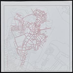
Outline map of 17th-century Boston drawn on an outline map of modern Boston
21.
Plan of the burnt district : showing proposed improvements in streets. Nov. 12th 1872
22.
A small map of the sea coast of New England together with the outlines of several of the provinces lying thereon, 1738
23.
The south part of New-England, as it is planted this yeare, 1635
24.
To his excellency William Shirley Esqr., Captain General and Commander in Chief, in and over his Majesty's province of the...
25.
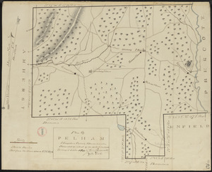
Plan of Pelham made by Cook, Zeba, and John Parmenter, dated October, 1830
26.
Brighton and Allston urban design strategy
27.
Massachusetts coastal towns
28.
Outline map of Boston
29.
Plan of corner of Centry & Beacon St's -- 1741
30.
Profile of Huntington Avenue/St. James Avenue from Harcourt Street to Berkeley Street
31.
Topographic map of Brighton and Allston
32.
View of the South End


![Town of Plymouth [land development planning]](https://bpldcassets.blob.core.windows.net/derivatives/images/commonwealth:tt44v120f/image_thumbnail_300.jpg)