Toggle navigation
LMEC Home
Exhibitions
Georeferencing
Tools for Teachers
Collections
My Favorites
Sign Up / Log In
Search
Search the map portal
Map Collection
Map Collection
Map Sets
Search
Search
Search for
Search In
All Fields
Creator
Title
Subject
Place
Search All Digital Collections
Advanced Search
13694 Results
Filter your Search
Place
North and Central America
10,357
United States
8,484
Massachusetts
2,796
Suffolk (county)
1,678
Boston
1,634
Europe
1,419
Canada
950
New York
650
more
Place
»
Topic
Boston (Mass.)--Maps
748
City planning--Massachusetts--Boston--Maps
418
United States--History--Revolution, 1775-1783--Maps
329
United States--Maps
322
Real property--Massachusetts--Boston--Maps
254
Urban renewal--Massachusetts--Boston--Maps
254
Massachusetts--Maps
233
Insurance surveys
197
more
Topic
»
Date
Date range begin
–
Date range end
Current results range from
1482
to
2023
View distribution
Creator
United States. Hydrographic Office
597
Boston Redevelopment Authority
404
Des Barres, Joseph F. W. (Joseph Frederick Wallet), 1722-1824
247
Royal United Services Institute for Defence and Security Studies
160
Jefferys, Thomas, -1771
154
George, III, King of Great Britain, 1738-1820
152
George, IV, King of Great Britain, 1762-1830
151
O.H. Bailey & Co
148
more
Creator
»
Format
Maps/Atlases
13,513
Manuscripts
985
Prints
102
Books
49
Drawings/Illustrations
44
Photographs
15
Objects/Artifacts
13
Documents
7
more
Format
»
Georeferenced
Yes
979
No
12,715
Collection
Norman B. Leventhal Map & Education Center Collection
9,108
American Revolutionary War-Era Maps
3,305
Boston and New England Maps
2,921
Urban Maps
2,480
Maritime Charts and Atlases
1,169
William L. Clements Library Collection
910
Library of Congress Collection
618
Boston Redevelopment Authority Collection
475
more
Collection
»
Available to use
No known restrictions
10,260
Creative Commons license
1,678
Search Constraints
Sort by date (desc)
relevance
title
date (asc)
date (desc)
Number of results to display per page
50 per page
10
per page
20
per page
50
per page
100
per page
View results as:
grid view
map view
Search Results
201.
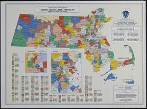
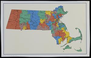
Commonwealth of Massachusetts House legislative districts : (Chapter 273 of the Acts of 1993)
202.
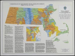
Commonwealth of Massachusetts Senate legislative districts : (Chapter 274 of the Acts of 1993)
203.
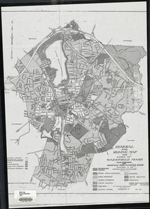
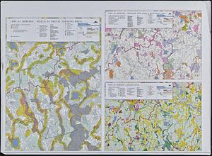
General and zoning map for town of Wakefield Mass.
204.
Haiti
205.
Major thoroughfare system, city of Boston, July, 1994
206.
Massachusetts coastal watersheds
207.
Massachusetts navigation and dredging management study
208.
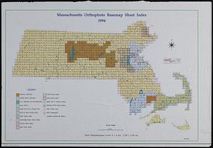
Massachusetts orthophoto basemap sheet index
209.
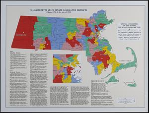
Massachusetts state Senate legislative districts : (Chapter 274 of the Acts of 1993)
210.
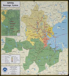
MWRA sewerage system
211.
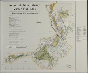
Neponset River estuary master plan area
212.
North Atlantic Ocean, southeast coast of North America, including the Bahamas and Greater Antilles
213.
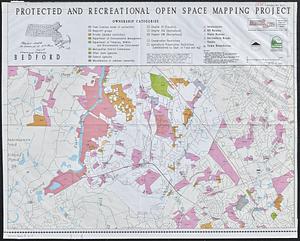
Protected and recreational open space mapping project : Bedford
214.
Town of Sherborn protected open space and land use
215.
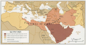
Age of the Caliphs
216.
Airport obstruction chart OC 130, Bowers Field, Ellensburg, Washington
217.
Airport obstruction chart OC 131, Elmira/Corning Regional Airport, Elmira, New York
218.
Airport obstruction chart OC 140, Mahlon Sweet Field, Eugene, Oregon
219.
Airport obstruction chart OC 142, Snohomish County (Paine Field) Airport, Everett, Washington
220.
Airport obstruction chart OC 29, Augusta State Airport, Augusta, Maine
221.
Airport obstruction chart OC 34, Jack McNamara Field, Crescent City, California
222.
Airport obstruction chart OC 36, Meadows Field, Bakersfield, California
223.
Asia, South China Sea, Mui Da Nang to Shenquan Gang including Hainan Dao and Parcel Islands
224.
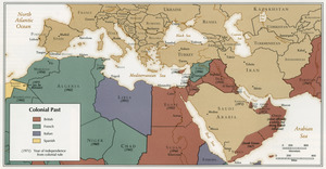
Colonial Past
225.
Draft of a map of 1993 Massachusetts Senate legislative districts
226.
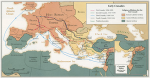
Early Crusades
227.
East Asia
228.
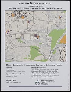
Fort Devens military base closure hazardous material remediation project
229.
Massachusetts areas of critical environmental concern
230.
Massachusetts SB1815
231.
Middle East, oil and gas : Middle East
232.
Newton, Mass. parcel mapping project
233.
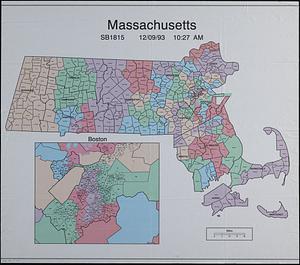
North Atlantic Ocean, West Indies
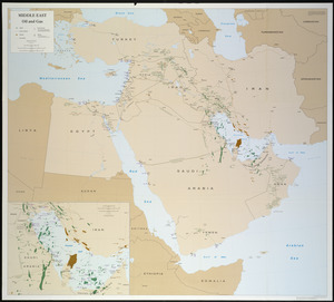
234.
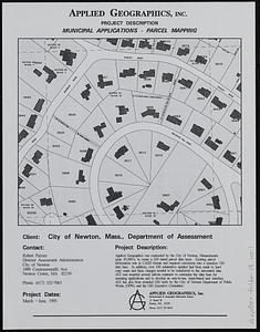
Ottoman Empire
235.
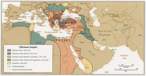
Sand and gravel resources of Massachusetts sheet 2
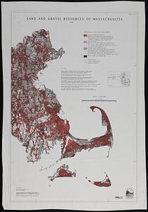
236.
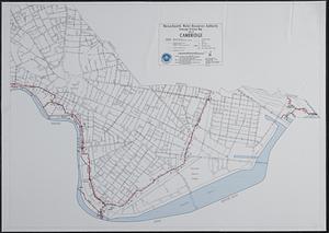
Sewerage division map city of Cambridge
237.
Circulation plan of parking lot at the corner of VFW Parkway and Spring Street, West Roxbury
238.
Airport obstruction chart OC 117, Des Moines International Airport, Des Moines, Iowa
239.
Airport obstruction chart OC 12, Albuquerque International Airport, Albuquerque, New Mexico
240.
Airport obstruction chart OC 120, Dickinson Municipal Airport, Dickinson, North Dakota
241.
Airport obstruction chart OC 123, Dothan Airport, Dothan, Alabama
242.
Airport obstruction chart OC 145, Florence Regional Airport, Florence, South Carolina
243.
Airport obstruction chart OC 159, Fort Worth Meacham Airport, Fort Worth, Texas
244.
Airport obstruction chart OC 162, Fresno Air Terminal, Fresno, California
245.
Airport obstruction chart OC 167, Glynco Jetport, Brunswick, Georgia
246.
Airport obstruction chart OC 180, Greenville Downtown Airport, Greenville, South Carolina
247.
Airport obstruction chart OC 20, Edwin A. Link Field-Broome County Airport, Binghamton, New York
248.
Airport obstruction chart OC 22, Ardmore Municipal Airport, Ardmore, Oklahoma
249.
Airport obstruction chart OC 26, The William B. Hartsfield Atlanta International Airport, Georgia
250.
Airport obstruction chart OC 40, Baton Rouge Metropolitan, Ryan Field, Baton Rouge, Louisiana
‹ Prev
Next ›
1
2
3
4
5
6
7
8
9
…
273
274