Toggle navigation
LMEC Home
Exhibitions
Georeferencing
Tools for Teachers
Collections
My Favorites
Sign Up / Log In
Search
Search the map portal
Map Collection
Map Collection
Map Sets
Search
Search
Search for
Search In
All Fields
Creator
Title
Subject
Place
Search All Digital Collections
Advanced Search
1080 Results
My Search
Start Over
Back Bay Boston
Remove constraint Back Bay Boston
Filter your Search
Place
North and Central America
830
United States
529
Massachusetts
236
Suffolk (county)
178
Boston
172
Canada
115
South America
62
Asia
61
more
Place
»
Topic
Boston (Mass.)--Maps
60
City planning--Massachusetts--Boston--Maps
48
Back Bay (Boston, Mass.)--Maps
47
North America--Maps--Early works to 1800
34
Landowners--Massachusetts--Boston--Maps
26
Real property--Massachusetts--Boston--Maps
26
New England--Maps--Early works to 1800
24
Nova Scotia--Maps--Early works to 1800
24
more
Topic
»
Date
Date range begin
–
Date range end
Current results range from
1565
to
2020
View distribution
Creator
United States. Hydrographic Office
277
Des Barres, Joseph F. W. (Joseph Frederick Wallet), 1722-1824
64
Boston Redevelopment Authority
36
Jefferys, Thomas, -1771
24
Sayer, Robert, 1725-1794
24
Franke, M. (Max)
23
U.S. Lake Survey
22
United States Exploring Expedition (1838-1842)
21
more
Creator
»
Format
Maps/Atlases
1,066
Manuscripts
69
Drawings/Illustrations
10
Objects/Artifacts
3
Prints
3
Books
1
Georeferenced
Yes
54
No
1,026
Collection
Norman B. Leventhal Map & Education Center Collection
942
Maritime Charts and Atlases
481
Boston and New England Maps
264
American Revolutionary War-Era Maps
230
Urban Maps
138
Boston Redevelopment Authority Collection
54
Mapping Boston Collection
39
Library of Congress Collection
35
more
Collection
»
Available to use
No known restrictions
943
Creative Commons license
112
Search Constraints
Sort by relevance
relevance
title
date (asc)
date (desc)
Number of results to display per page
20 per page
10
per page
20
per page
50
per page
100
per page
View results as:
grid view
map view
Search Results
841.
Porto Rico and Virgin Isles : Haiti, Hispaniola or St. Domingo
842.
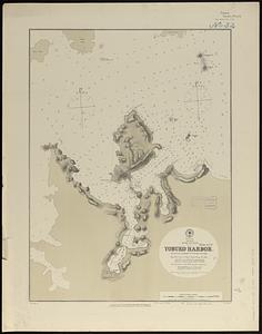
Japan, Kiusiu Island, n.w. coast, Yobuko Harbor
843.
H.H. Lloyd & Co's campaign military charts showing the principal strategic places of interest
844.
Indian Ocean, harbors of Kerguelen Island : republication of Brit. Admty chart no. 800
845.
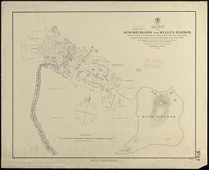
North Pacific Ocean, Midway Islands, Seward Roads and Welles Harbor
846.
A map of the Cape de Verd Islands with the adjacent coast of Africa, the settlements of Senegal, Gambia and Goree, also a plan...
847.
Special plans to chart no. 565 : harbors and anchorages on the N.W. coast of Madagascar : from British surveys in 1824,...
848.
Colton's plans of U.S. harbors : showing the position & vicinities of the most important fortifications on the sea-board and in...
849.
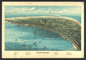
Provincetown, Mass
850.
Lloyd's military maps : showing the principal places of interest
851.
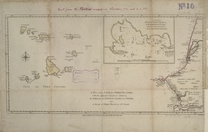
A chart of the sea coast of New Foundland, New Scotland, New York, New Jersey, with Virginia and Maryland and New England
852.
Africa--east coast, coast of Zanzibar, Kiswere Harbor : from a British survey by the officers of H.M.S. Nassau, 1874 :...
853.
Islands of Manua, Ofoo & Oloosinga, Samoan Group ; Island of Tutuila, Samoan Group
854.
Massachusetts coastal watersheds
855.
Water resources of the Neponset River watershed
856.
Special plan to chart no. 565 : harbors and anchorages on the N.E. coast of Madagascar : from British and French surveys,...
857.
Quincy, Mass
858.
An exact mapp of New England and New York
859.
New France, New Englande, New Scotlande, and New Foundlande
860.
Pas caarte van Nieu Nederlandt
‹ Prev
Next ›
1
2
…
39
40
41
42
43
44
45
46
47
…
53
54