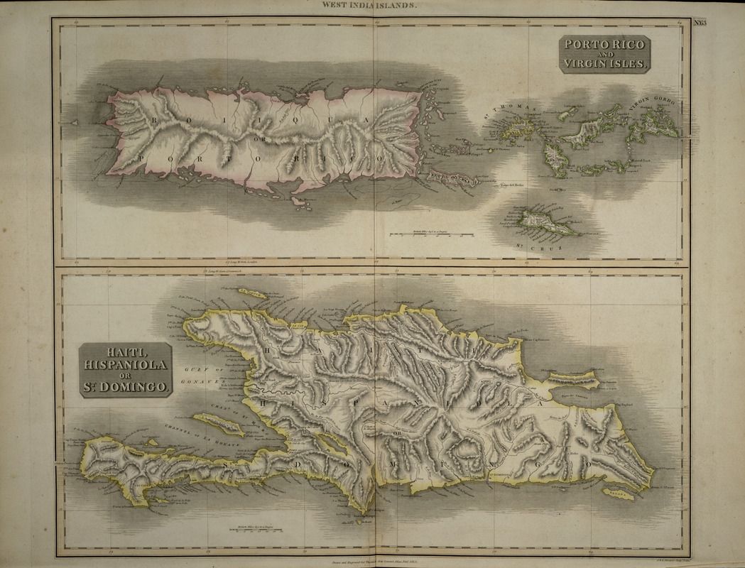
Porto Rico and Virgin Isles : Haiti, Hispaniola or St. Domingo
Item Information
- Title:
- Porto Rico and Virgin Isles : Haiti, Hispaniola or St. Domingo
- Title (alt.):
-
Haiti, Hispaniola or St. Domingo
West India Islands
Puerto Rico and Virgin Isles
- Description:
-
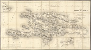
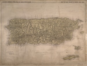
This combination map of Puerto Rico, the Virgin Islands, and Hispaniola was published in the 1817 edition of Thomson's "New General Atlas". Although by this time Puerto Rico and the eastern half of Hispaniola were both firmly in the hands of the Spanish, the Taino words for the big islands are given alongside their Spanish names -- "Boiiquá and "Haiti." These maps are primarily topographical, recording very few human settlements, but mountains, rivers, inlets, bays, capes, and other coastal features are recorded in detail.
- Creator:
- Thomson, John, 19th cent.
- Engraver:
- J. & G. Menzies
- Name on Item:
-
J. Thomson ; J & G Menzies, sculp., Edin.
- Date:
-
[1817]
- Format:
-
Maps/Atlases
- Location:
-
Boston Public Library
Norman B. Leventhal Map & Education Center - Collection (local):
-
Norman B. Leventhal Map & Education Center Collection
- Subjects:
-
Puerto Rico--Maps
Virgin Islands--Maps
Hispaniola--Maps
- Places:
-
Puerto Rico (unincorporated territory)
Hispaniola (island)
Virgin Islands (area)
- Extent:
- 1 map : col. ; 61 x 52 cm.
- Terms of Use:
-
No known copyright restrictions.
No known restrictions on use.
- Publisher:
-
Edinburgh :
J.Thomson
- Scale:
-
Scale not given
- Language:
-
English
- Notes:
-
Relief shown by hachures.
"Drawn and engraved for Thomas' New General Atlas, Feb., 1815."
Appears in Thomson's New general atlas. Edinburgh. 1817.
- Notes (date):
-
This date is inferred.
- Notes (exhibitions):
-
Exhibited: "Faces & Places" organized by the Norman B. Leventhal Map Center at the Boston Public Library, 2003-2004.
- Identifier:
-
05_04_000140
- Call #:
-
G4900 1817 .T41
- Barcode:
-
39999052507157