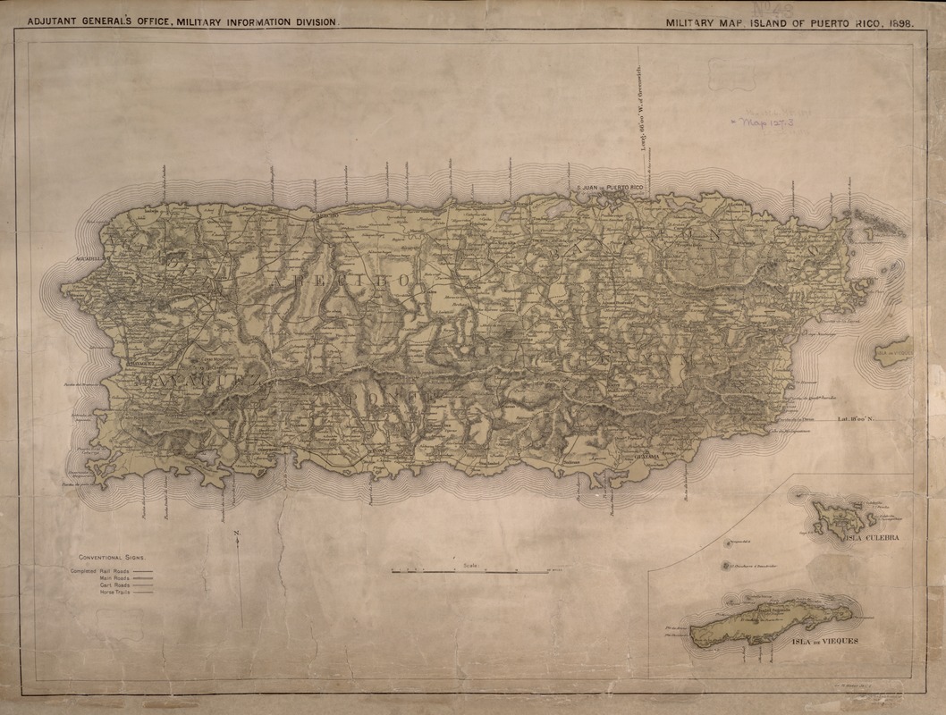
Military map, island of Puerto Rico
Item Information
- Title:
- Military map, island of Puerto Rico
- Below map :
- Report of the Major General Commanding for 1898
- Related title :
- Report of the Major-General commanding the Army
- Description:
-
Shows positions of troops in Puerto Rico in 1898.
- Creator:
- United States. Adjutant-General's Office. . Military Information Division
- Name on Item:
-
drawn by W. Morey Jr. C.E.
- Date:
-
[1898]
- Format:
-
Maps/Atlases
- Location:
-
Boston Public Library
Norman B. Leventhal Map & Education Center - Collection (local):
-
Norman B. Leventhal Map & Education Center Collection
- Subjects:
-
Spanish-American War, 1898--Campaigns--Puerto Rico--Maps
Military maps
Puerto Rico--Maps
- Places:
-
Puerto Rico (unincorporated territory)
- Extent:
- 1 map : col. ; 48.26 x 49.53 cm.
- Terms of Use:
-
No known copyright restrictions.
No known restrictions on use.
- Publisher:
-
Washington, D.C :
Norris Peters Co.
- Scale:
-
Scale [ca. 1:250,000]
- Language:
-
English
- Notes:
-
Relief shown by hachures.
In upper left corner: Adjutant General's Office, Military Information Division.
Includes inset of Isla Culebra and Isla de Vieques.
"Enclosure E to accompany report of Nov. 3, 1898, W.M. Black, Lt. Col. Chief Eng. U.V."
Exhibited in “Faces and Places,” at the Boston Public Library, Boston, MA, October 2003 - September 2004. MB (BRL)
- Notes (date):
-
This date is inferred.
- Identifier:
-
05_04_000022
- Call #:
-
G4971.R3 1898 .U6
- Barcode:
-
39999052507736


