Toggle navigation
LMEC Home
Exhibitions
Georeferencing
Tools for Teachers
Collections
My Favorites
Sign Up / Log In
Search
Search the map portal
Map Collection
Map Collection
Map Sets
Search
Search
Search for
Search In
All Fields
Creator
Title
Subject
Place
Search All Digital Collections
Advanced Search
145 Results
My Search
Start Over
1893
Remove constraint 1893
Filter your Search
Place
North and Central America
126
United States
106
Massachusetts
38
Maine
17
Europe
15
Hancock (county)
11
Suffolk (county)
11
Boston
10
more
Place
»
Topic
Mount Desert Island (Me.)--Maps
10
Boston (Mass.)--Maps
9
Trails--Maine--Mount Desert Island--Maps
7
Massachusetts--Maps
6
Canada--Boundaries--United States--Maps
5
United States--Boundaries--Canada--Maps
5
United States--Maps
5
British Columbia--Boundaries--Washington (State)--Maps
3
more
Topic
»
Date
Date range begin
–
Date range end
Current results range from
1752
to
1983
View distribution
Creator
Colton, J. H. (Joseph Hutchins), 1800-1893
24
Bates, Waldron.
9
U.S. Lake Survey
9
United States. Congress (53rd, 2nd session : 1893-1894). House
9
Meade, George Gordon, 1815-1872
8
Moore, John Bassett, 1860-1947
8
Bartholomew, John, 1831-1893
7
Lange, Henry, 1821-1893
7
more
Creator
»
Format
Maps/Atlases
144
Manuscripts
1
Prints
1
Georeferenced
Yes
23
No
122
Collection
Norman B. Leventhal Map & Education Center Collection
135
Boston and New England Maps
45
Urban Maps
35
Maritime Charts and Atlases
10
Robert E. Diefenbach Map Collection at Phillips Academy
5
David Judkins Weaver Papers
2
Massachusetts Real Estate Atlases
2
American Revolutionary War-Era Maps
1
more
Collection
»
Available to use
No known restrictions
140
Creative Commons license
2
Search Constraints
Sort by relevance
relevance
title
date (asc)
date (desc)
Number of results to display per page
20 per page
10
per page
20
per page
50
per page
100
per page
View results as:
grid view
map view
Search Results
61.
The United States of America circa 1900
62.
Black's special war map
63.
Clue plan for Collins' illustrated guide to London
64.
Colton's new topographical map of the eastern portion of the State of North Carolina with part of Virginia & South Carolina...
65.
Map of Boston and adjacent cities
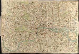
66.
New plan of London
67.
Home rule map of Ireland
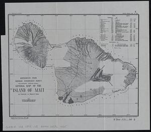
68.
General map of the island of Maui : as surveyed to March 1st 1880
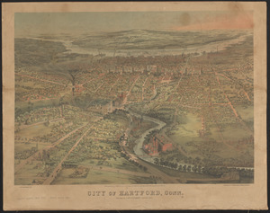
69.
City of Hartford, Conn.
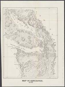
70.
Map of Vancouver : 1798
71.
Johnson's map of New York and the adjacent cities
72.
Johnson's New York
73.
Map of North America showing the two lines of frontier as settled in October and November 1782 respectively by Mr. Oswald, the...
74.
The s.e. coast of the United States and its relation to the British West India colonies
75.
Linguistic families of American Indians north of Mexico
76.
Oahu, Hawaiian Islands
77.
New Brunswick, Nova Scotia, Newfoundland, and Prince Edward Id.
78.
Sketch map of the British coast showing the relative positions of Liverpool, Beaumaris, Moelfra Bay & Point Lynas (taken from...
79.
Section of a track chart of the world, covering the Behring Sea
80.
Washington Sound and approaches, Washington Territory, 1866
‹ Prev
Next ›
1
2
3
4
5
6
7
8