Toggle navigation
LMEC Home
Exhibitions
Georeferencing
Tools for Teachers
Collections
My Favorites
Sign Up / Log In
Search
Search the map portal
Map Collection
Map Collection
Map Sets
Search
Search
Search for
Search In
All Fields
Creator
Title
Subject
Place
Search All Digital Collections
Advanced Search
13694 Results
Filter your Search
Place
North and Central America
10,357
United States
8,484
Massachusetts
2,796
Suffolk (county)
1,678
Boston
1,634
Europe
1,419
Canada
950
New York
650
more
Place
»
Topic
Boston (Mass.)--Maps
748
City planning--Massachusetts--Boston--Maps
418
United States--History--Revolution, 1775-1783--Maps
329
United States--Maps
322
Real property--Massachusetts--Boston--Maps
254
Urban renewal--Massachusetts--Boston--Maps
254
Massachusetts--Maps
233
Insurance surveys
197
more
Topic
»
Date
Date range begin
–
Date range end
Current results range from
1482
to
2023
View distribution
Creator
United States. Hydrographic Office
597
Boston Redevelopment Authority
404
Des Barres, Joseph F. W. (Joseph Frederick Wallet), 1722-1824
247
Royal United Services Institute for Defence and Security Studies
160
Jefferys, Thomas, -1771
154
George, III, King of Great Britain, 1738-1820
152
George, IV, King of Great Britain, 1762-1830
151
O.H. Bailey & Co
148
more
Creator
»
Format
Maps/Atlases
13,513
Manuscripts
985
Prints
102
Books
49
Drawings/Illustrations
44
Photographs
15
Objects/Artifacts
13
Documents
7
more
Format
»
Georeferenced
Yes
979
No
12,715
Collection
Norman B. Leventhal Map & Education Center Collection
9,108
American Revolutionary War-Era Maps
3,305
Boston and New England Maps
2,921
Urban Maps
2,480
Maritime Charts and Atlases
1,169
William L. Clements Library Collection
910
Library of Congress Collection
618
Boston Redevelopment Authority Collection
475
more
Collection
»
Available to use
No known restrictions
10,260
Creative Commons license
1,678
Search Constraints
Sort by date (desc)
relevance
title
date (asc)
date (desc)
Number of results to display per page
50 per page
10
per page
20
per page
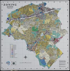
50
per page
100
per page
View results as:
grid view
map view
Search Results
151.
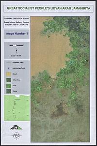
Trans Sahara Railway project
152.
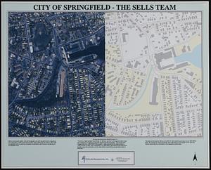
City of Springfield
153.
Hingham/Hull Massachusetts : Massachusetts CZM shoreline change analysis project
154.
Massachusetts CZM shoreline change analysis project
155.
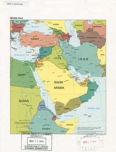
Middle East
156.
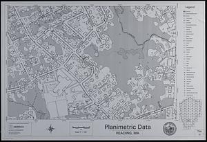
Tactical pilotage chart, TPC
157.
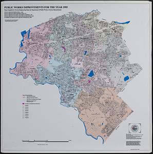
Zoning city of Newton, Massachusetts
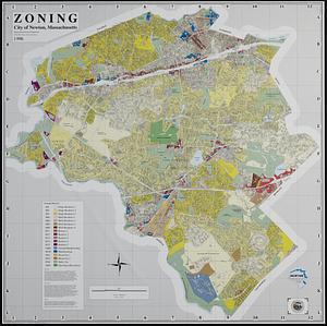
158.
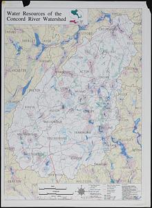
Zoning city of Newton, Massachusetts
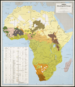
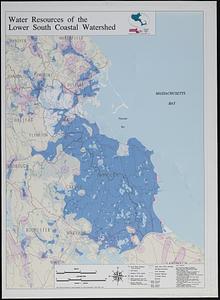
159.
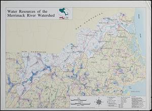
Africa, ethnolinguistic groups
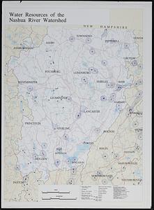
160.
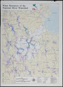
Mediterranean Sea, plans on the coasts of Italy and Sicilia
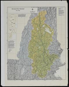
161.
Merrimack River watershed atlas
162.
Merrimack River watershed [sheets]
163.
Outline map of 17th-century Boston drawn on an outline map of modern Boston
164.
Property map town of Bellingham sheet 98
165.
Recreational opportunities at Federal Energy Regulatory Commission licensed hydropower projects
166.
Water system map sheet 76 city of Newton, Mass.
167.
Airport obstruction chart OC 10, Albany County Airport, Albany, New York
168.
Airport obstruction chart OC 121, Dillon Airport, Dillon, Montana
169.
Index to 1:24,000-scale digital line graph (DLG) and digital elevation model (DEM) data
170.
Maps of Beverly
171.
Massachusetts Bays Program community resource atlas
172.
Massachusetts watersheds land use
173.
Nantucket coastal high hazard area mapping project
174.
Nomans Land Massachusetts : [coastal high hazard area mapping project]
175.
Orthophoto index
176.
Planimetric data, Reading, MA
177.
DEM protected open space
178.
Public works improvements for the year 1995
179.
South China Sea, Gulf of Tonkin, Vietnam--China, C'ua Nhuong to Leizhou Bandao including Hainan Dao
180.
Water resources of the Concord River watershed
181.
Water resources of the lower south coastal watershed
182.
Water resources of the Merrimack River watershed
183.
Water resources of the Nashua River watershed
184.
Water resources of the Neponset River watershed
185.
Winthrop/Boston Massachusetts : [coastal high hazard area base map]
186.
Massachusetts open space and recreation facilities
187.
Airport obstruction chart OC 119, Detroit Metropolitan Wayne County Airport, Detroit, Michigan
188.
Airport obstruction chart OC 13, Alexandria International Airport, Alexandria, Louisiana
189.
Airport obstruction chart OC 136, Enid Woodring Municipal Airport, Enid, Oklahoma
190.
Airport obstruction chart OC 159, Scholes Field, Galveston, Texas
191.
Airport obstruction chart OC 165, Richards-Gebaur Airport, Kansas City, Missouri
192.
Airport obstruction chart OC 173, Central Nebraska Regional Airport, Grand Island, Nebraska
193.
Airport obstruction chart OC 181, Greenwood-Leflore Airport, Greenwood, Mississippi
194.
Airport obstruction chart OC 51, Bismarck Municipal Airport, Bismarck, North Dakota
195.
Airport obstruction chart OC 71, Cavern City Air Terminal, Carlsbad, New Mexico
196.
Airport obstruction chart OC 72, Natrona County International Airport, Casper, Wyoming
197.
Airport obstruction chart OC 81, Chicago Midway Airport, Chicago, Illinois
198.
Airport obstruction chart OC 84, Cleveland-Hopkins International Airport, Cleveland, Ohio
199.
Airport obstruction chart OC 87, City of Colorado Springs Municipal Airport, Colorado Springs, Colorado
200.
[Character conversion print errors on] Draft working map Neponset River estuary
‹ Prev
Next ›
1
2
3
4
5
6
7
8
…
273
274


![Merrimack River watershed [sheets]](https://bpldcassets.blob.core.windows.net/derivatives/images/commonwealth:kp78ng47v/image_thumbnail_300.jpg)


![[Character conversion print errors on] Draft working map Neponset River estuary](https://bpldcassets.blob.core.windows.net/derivatives/images/commonwealth:mc87v2589/image_thumbnail_300.jpg)