Toggle navigation
LMEC Home
Exhibitions
Georeferencing
Tools for Teachers
Collections
My Favorites
Sign Up / Log In
Search
Search the map portal
Map Collection
Map Collection
Map Sets
Search
Search
Search for
Search In
All Fields
Creator
Title
Subject
Place
Search All Digital Collections
Advanced Search
14164 Results
Filter your Search
Place
North and Central America
10,832
United States
8,868
Massachusetts
2,832
Suffolk (county)
1,688
Boston
1,644
Europe
1,428
Canada
1,010
New York
684
more
Place
»
Topic
Boston (Mass.)--Maps
753
City planning--Massachusetts--Boston--Maps
419
United States--History--Revolution, 1775-1783--Maps
331
United States--Maps
331
Real property--Massachusetts--Boston--Maps
254
Urban renewal--Massachusetts--Boston--Maps
254
North America--Maps--Early works to 1800
241
Massachusetts--Maps
236
more
Topic
»
Date
Date range begin
–
Date range end
Current results range from
1482
to
2023
View distribution
Creator
United States. Hydrographic Office
597
Boston Redevelopment Authority
404
Des Barres, Joseph F. W. (Joseph Frederick Wallet), 1722-1824
247
Jefferys, Thomas, -1771
172
United States. National Ocean Service
170
Royal United Services Institute for Defence and Security Studies
160
George, III, King of Great Britain, 1738-1820
152
George, IV, King of Great Britain, 1762-1830
151
more
Creator
»
Format
Maps/Atlases
13,978
Manuscripts
985
Prints
102
Books
53
Drawings/Illustrations
44
Photographs
15
Objects/Artifacts
13
Documents
7
more
Format
»
Georeferenced
Yes
979
No
13,185
Collection
Norman B. Leventhal Map & Education Center Collection
9,162
American Revolutionary War-Era Maps
3,629
Boston and New England Maps
2,936
Urban Maps
2,511
Maritime Charts and Atlases
1,169
William L. Clements Library Collection
910
Library of Congress Collection
618
Boston Redevelopment Authority Collection
475
more
Collection
»
Available to use
No known restrictions
10,408
Creative Commons license
1,678
Search Constraints
Sort by relevance
relevance
title
date (asc)
date (desc)
Number of results to display per page
20 per page
10
per page
20
per page
50
per page
100
per page
View results as:
grid view
map view
Search Results
6981.
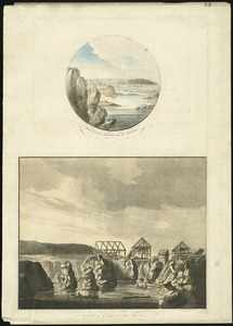
Mechios River near the mills : a sketch of Mechios mills
6982.
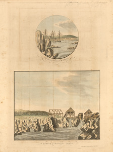
Mechios River near the mills ; A sketch of Mechios mills
6983.
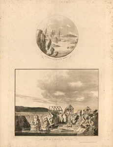
Mechios River near the mills ; A sketch of Mechios mills
6984.
Mecklenburgh Bay
6985.
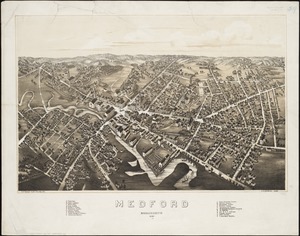
Medford, Massachusetts : 1880
6986.
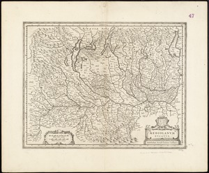
Mediolanum ducatus
6987.
Mediterranean, anchorages on the east coast of Spain : from Spanish government surveys of 1878
6988.
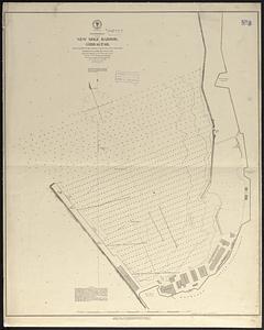
Mediterranean, harbors on the south coast of Italy : from Italian government surveys in 1866-1874 ; republication of Brit....
6989.
Mediterranean, New Mole Harbor, Gibraltar
6990.
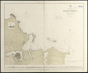
Mediterranean Sea, Adriatic--coast of Italy, Brindisi Harbor : from an Italian survey in 1872, corrected to 1876 ;...
6991.
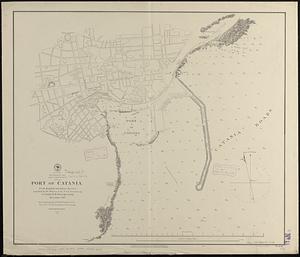
Mediterranean Sea, east coast of Sicily, Port of Catania
6992.
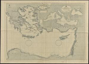
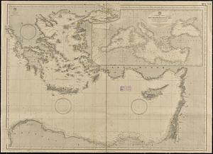
Mediterranean Sea, eastern sheet
6993.
Mediterranean Sea, eastern sheet
6994.
Mediterranean Sea, harbors on the south coast of Sardinia : from a British survey in 1865 ; republished from British Admiralty...
6995.
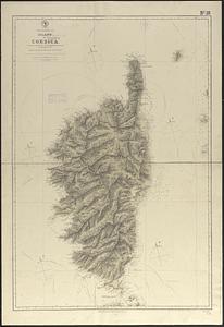
Mediterranean Sea, island of Corsica
6996.
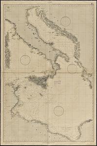
Mediterranean Sea, middle sheet
6997.
Mediterranean Sea, middle sheet
6998.
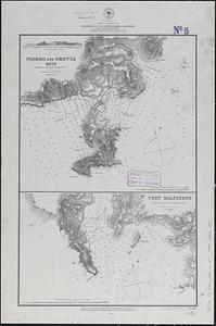
Mediterranean Sea, plans on the coasts of Italy and Sicilia
6999.
Mediterranean Sea, Port of Algier and approaches
7000.
Mediterranean Sea, s.e. coast of Spain, Port Alicante
‹ Prev
Next ›
1
2
…
346
347
348
349
350
351
352
353
354
…
708
709