Toggle navigation
LMEC Home
Exhibitions
Georeferencing
Tools for Teachers
Collections
My Favorites
Sign Up / Log In
Search
Search the map portal
Map Collection
Map Collection
Map Sets
Search
Search
Search for
Search In
All Fields
Creator
Title
Subject
Place
Search All Digital Collections
Advanced Search
13385 Results
Filter your Search
Place
North and Central America
9,353
United States
7,286
Suffolk (county)
1,664
Boston
1,621
Europe
1,035
Canada
949
Massachusetts
875
New York
534
more
Place
»
Topic
Boston (Mass.)--Maps
741
City planning--Massachusetts--Boston--Maps
418
United States--History--Revolution, 1775-1783--Maps
329
United States--Maps
315
Urban renewal--Massachusetts--Boston--Maps
254
Real property--Massachusetts--Boston--Maps
252
Massachusetts--Maps
219
Insurance surveys
197
more
Topic
»
Date
Date range begin
–
Date range end
Current results range from
1482
to
2023
View distribution
Creator
United States. Hydrographic Office
595
Boston Redevelopment Authority
403
Des Barres, Joseph F. W. (Joseph Frederick Wallet), 1722-1824
247
Royal United Services Institute for Defence and Security Studies
160
Jefferys, Thomas, -1771
154
George, III, King of Great Britain, 1738-1820
152
George, IV, King of Great Britain, 1762-1830
151
O.H. Bailey & Co
148
more
Creator
»
Format
Maps/Atlases
13,205
Manuscripts
985
Prints
102
Books
49
Drawings/Illustrations
44
Photographs
15
Objects/Artifacts
13
Documents
7
more
Format
»
Georeferenced
Yes
979
No
12,406
Collection
Norman B. Leventhal Map Center Collection
8,891
American Revolutionary War-Era Maps
3,305
Boston and New England Maps
2,804
Urban Maps
2,397
Maritime Charts and Atlases
1,150
William L. Clements Library Collection
910
Library of Congress Collection
618
Boston Redevelopment Authority Collection
475
more
Collection
»
Available to use
No known restrictions
9,952
Creative Commons license
1,677
Search Constraints
Sort by relevance
relevance
title
date (asc)
date (desc)
Number of results to display per page
20 per page
10
per page
20
per page
50
per page
100
per page
View results as:
grid view
map view
Search Results
6721.
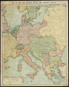
The National Geographic magazine map of the new Balkan states and Central Europe
6722.
National Highways map of the state of Massachusetts showing one thousand miles of national highways proposed by the National...
6723.
National highways map of the United States showing one hundred fifty thousand miles of national highways proposed by the...
6724.
National highways map of the United States showing one hundred thousand miles of national highways proposed by the National...
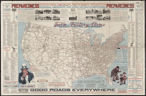
6725.
National highways map of the United States showing principal transcontinental highways and connecting system of one hundred...
6726.
National map of New England states Vermont, New Hampshire, Massachusetts, Connecticut, Rhode Island and Maine showing counties...
6727.
National map of the United States
6728.
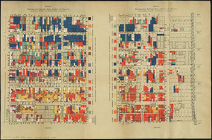
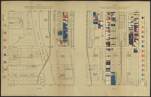
National Pairpoint Company, et al (Bldg); Atlantic Carton Corporation of Delaware, New Bedford, Mass. [insurance map]
6729.
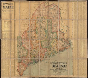
The National Publishing Company's 1900 census map of Maine : showing all counties, towns, railroads, cities, villages, post...
6730.
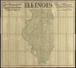
The National Publishing Company's new railroad, post-office and county map of Illinois : with complete index of all...
6731.
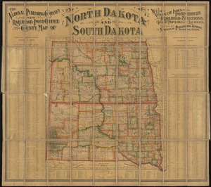
The National Publishing Company's new railroad, post-office and county map of North Dakota and South Dakota : with complete...
6732.
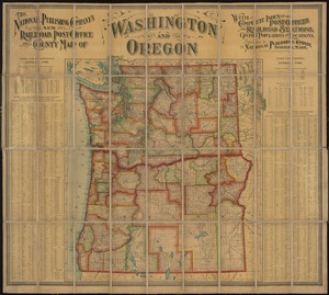
The National Publishing Company's new railroad, post-office and county map of Washington and Oregon : with complete index of...
6733.
The National Publishing Company's railroad, post office, township and county map of Massachusetts, Rhode Island and Connecticut...
6734.
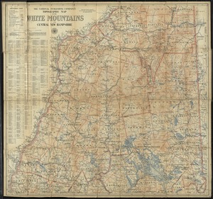
The National Publishing Company's topographic map of the White Mountains and central New Hampshire
6735.
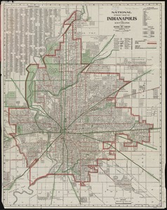
National street map of Indianapolis and environs
6736.
National topographic map of Massachusetts and Rhode Island : showing counties, townships, cities, villages and post offices ......
6737.
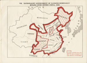
Nationalist government of Nanking - nominally ruling over entire China, 1930
6738.
Nationalities map no. 1 - Polk Street to Twelfth, Halsted Street to Jefferson, Chicago ; Nationalities map no. 2 - Polk Street...
6739.
Nationalities map no. 3 - Polk Street to Twelfth, Beach Street to Pacific Avenue, Chicago ; Nationalities map no. 4 - Polk...
6740.
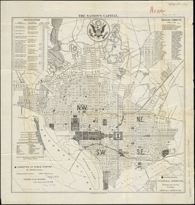
The nation's capital : [Washington D.C.]
‹ Prev
Next ›
1
2
…
333
334
335
336
337
338
339
340
341
…
669
670


![National Pairpoint Company, et al (Bldg); Atlantic Carton Corporation of Delaware, New Bedford, Mass. [insurance map]](https://bpldcassets.blob.core.windows.net/derivatives/images/commonwealth:ww72bz68v/image_thumbnail_300.jpg)