Toggle navigation
LMEC Home
Exhibitions
Georeferencing
Tools for Teachers
Collections
My Favorites
Sign Up / Log In
Search
Search the map portal
Map Collection
Map Collection
Map Sets
Search
Search
Search for
Search In
All Fields
Creator
Title
Subject
Place
Search All Digital Collections
Advanced Search
13385 Results
Filter your Search
Place
North and Central America
9,353
United States
7,078
Suffolk (county)
1,664
Boston
1,621
Europe
1,035
Canada
949
Massachusetts
794
New York
532
more
Place
»
Topic
Boston (Mass.)--Maps
741
City planning--Massachusetts--Boston--Maps
418
United States--History--Revolution, 1775-1783--Maps
329
United States--Maps
315
Urban renewal--Massachusetts--Boston--Maps
254
Real property--Massachusetts--Boston--Maps
252
Massachusetts--Maps
219
Insurance surveys
197
more
Topic
»
Date
Date range begin
–
Date range end
Current results range from
1482
to
2023
View distribution
Creator
United States. Hydrographic Office
595
Boston Redevelopment Authority
403
Des Barres, Joseph F. W. (Joseph Frederick Wallet), 1722-1824
247
Royal United Services Institute for Defence and Security Studies
160
Jefferys, Thomas, -1771
154
George, III, King of Great Britain, 1738-1820
152
George, IV, King of Great Britain, 1762-1830
151
O.H. Bailey & Co
148
more
Creator
»
Format
Maps/Atlases
13,205
Manuscripts
985
Prints
102
Books
49
Drawings/Illustrations
44
Photographs
15
Objects/Artifacts
13
Documents
7
more
Format
»
Georeferenced
Yes
979
No
12,406
Collection
Norman B. Leventhal Map Center Collection
8,891
American Revolutionary War-Era Maps
3,305
Boston and New England Maps
2,804
Urban Maps
2,397
Maritime Charts and Atlases
1,150
William L. Clements Library Collection
910
Library of Congress Collection
618
Boston Redevelopment Authority Collection
475
more
Collection
»
Available to use
No known restrictions
9,952
Creative Commons license
1,677
Search Constraints
Sort by relevance
relevance
title
date (asc)
date (desc)
Number of results to display per page
20 per page
10
per page
20
per page
50
per page
100
per page
View results as:
grid view
map view
Search Results
6701.
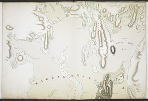
NARRAGANSETT BAY containing Rhode Island &c
6702.
Narragansett Mills (Bldg), Fall River Weaving Co., Inc. (Tenant), Fall River, Mass. [insurance map]
6703.
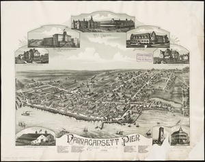
Narragansett Pier, Rhode Island : 1888
6704.
NASA Electronic Research Center : evaluation of proposed sites in Boston
6705.
Nashawena Mills (Cotton Mill), New Bedford, Mass. [insurance map]
6706.
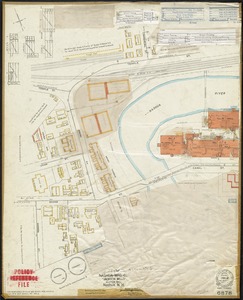
Nashua Foundries, Inc., Nashua, N.H. [insurance map]
6707.
Nashua Gummed and Coated Paper Company and Nashua Package Sealing Co., Inc. "Plant No. 1," Nashua, N.H. [insurance map]
6708.
Nashua Mfg. Co. "Jackson Mills" (Cotton Mill), Nashua, N.H.
6709.
Nashua Mfg. Co. "Nashua Mills" (Cotton Mill), Nashua, N.H. [insurance map]
6710.
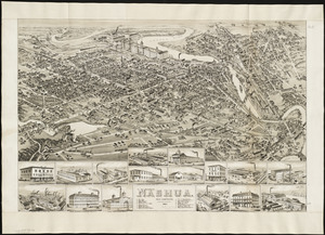
Nashua, New Hampshire
6711.
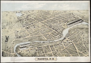
Nashua, N.H : 1875
6712.
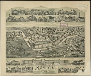
Natick, Rhode Island
6713.
A nation of immigrants
6714.
National Dairy Products Corp. "General Ice Cream Corp.," New Bedford, Mass. [insurance map]
6715.
National forests
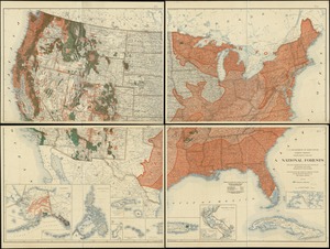
6716.
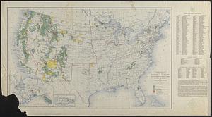
National forests, state forests, national parks, national monuments and Indian reservations
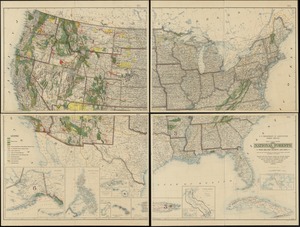
6717.
National Forests with related projects and data
6718.
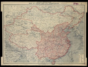
National Geographic Magazine map of China and its territories
6719.
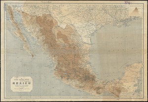
The National Geographic Magazine map of Mexico
6720.
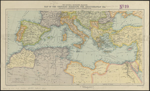
The National Geographic magazine map of the countries bordering the Mediterranean Sea
‹ Prev
Next ›
1
2
…
332
333
334
335
336
337
338
339
340
…
669
670
![Narragansett Mills (Bldg), Fall River Weaving Co., Inc. (Tenant), Fall River, Mass. [insurance map]](https://bpldcassets.blob.core.windows.net/derivatives/images/commonwealth:ww72bx42h/image_thumbnail_300.jpg)

![Nashawena Mills (Cotton Mill), New Bedford, Mass. [insurance map]](https://bpldcassets.blob.core.windows.net/derivatives/images/commonwealth:ww72bz669/image_thumbnail_300.jpg)
![Nashua Foundries, Inc., Nashua, N.H. [insurance map]](https://bpldcassets.blob.core.windows.net/derivatives/images/commonwealth:ww72c012c/image_thumbnail_300.jpg)
![Nashua Gummed and Coated Paper Company and Nashua Package Sealing Co., Inc. "Plant No. 1," Nashua, N.H. [insurance map]](https://bpldcassets.blob.core.windows.net/derivatives/images/commonwealth:ww72c014x/image_thumbnail_300.jpg)
![Nashua Mfg. Co. "Nashua Mills" (Cotton Mill), Nashua, N.H. [insurance map]](https://bpldcassets.blob.core.windows.net/derivatives/images/commonwealth:2r36vc27q/image_thumbnail_300.jpg)

![National Dairy Products Corp. "General Ice Cream Corp.," New Bedford, Mass. [insurance map]](https://bpldcassets.blob.core.windows.net/derivatives/images/commonwealth:9880vx10t/image_thumbnail_300.jpg)