National forests, state forests, national parks, national monuments and Indian reservations
Item Information
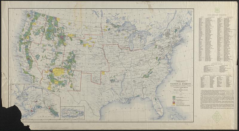
- Title:
- National forests, state forests, national parks, national monuments and Indian reservations
- Cartographer:
- United States. Forest Service
- Contributor:
- Geological Survey (U.S.)
- Name on Item:
-
U.S. Dept. of Agriculture, Forest Service
- Date:
-
1927
- Format:
-
Maps/Atlases
- Location:
-
Boston Public Library
Norman B. Leventhal Map & Education Center - Collection (local):
-
Norman B. Leventhal Map & Education Center Collection
- Subjects:
-
Public lands--United States--Maps
National parks and reserves--United States--Maps
Indian reservations--United States--Maps
Forest reserves--United States--Maps
- Places:
-
United States
- Extent:
- 1 map : col. ; 43 x 71 cm.
- Terms of Use:
-
No known copyright restrictions.
No known restrictions on use.
- Publisher:
-
[Washington] :
U.S. Forest Service
- Scale:
-
Scale 1:7,000,000
- Language:
-
English
- Notes:
-
District boundaries and numbers shown in red.
Includes text, insets of Alaska and Puerto Rico, and lists of forest supervisors headquarters, experiment stations, and "Headquarters of state forester or similar officer."
- Identifier:
-
06_01_018578
- Call #:
-
G3701.G5 1927 .U55
- Barcode:
-
39999065654343


