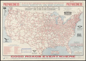
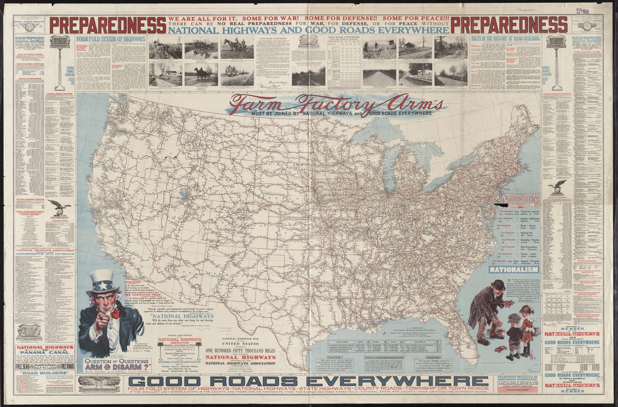
National highways map of the United States showing one hundred fifty thousand miles of national highways proposed by the National Highways Association
Item Information
- Title:
- National highways map of the United States showing one hundred fifty thousand miles of national highways proposed by the National Highways Association
- Creator:
- Mulford, John C.
- Name on Item:
-
John C. Mulford, chief cartographer, G.E. Lombard, J.M. Darley, E.E. Jenkins, cartographers ; published under direction of the National Highways Association.
- Date:
-
1918
- Format:
-
Maps/Atlases
- Location:
-
Boston Public Library
Norman B. Leventhal Map & Education Center - Collection (local):
-
Norman B. Leventhal Map & Education Center Collection
- Subjects:
-
Roads--United States--Maps
- Places:
-
United States
- Extent:
- 1 map : col. ; 76 x 125 cm., on sheet 102 x 157 cm.
- Terms of Use:
-
No known copyright restrictions.
No known restrictions on use.
- Publisher:
-
Washington, D.C :
National Highways Association
- Scale:
-
Scale [ca. 1:3,800,000]
- Language:
-
English
- Notes:
-
Text and ill. in margins.
- Identifier:
-
06_01_008597
- Call #:
-
G3701.P2 1918 .M35
- Barcode:
-
39999065655068