Search Constraints
Search Results

![[Map of the end of Boston Wharf from which restrictions are to be taken off]](https://bpldcassets.blob.core.windows.net/derivatives/images/commonwealth:9s161d66k/image_thumbnail_300.jpg)


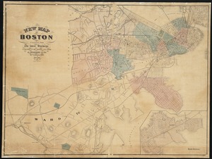
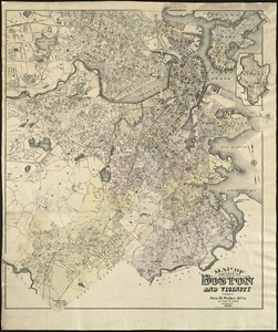
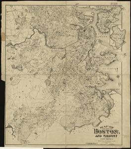
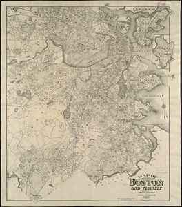
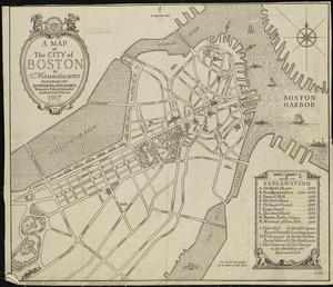
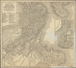
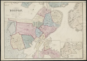
133. New map of Boston
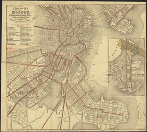
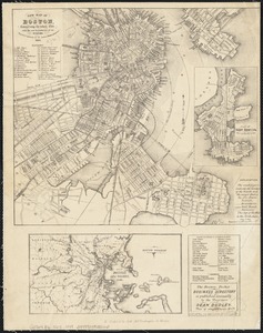


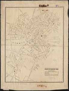
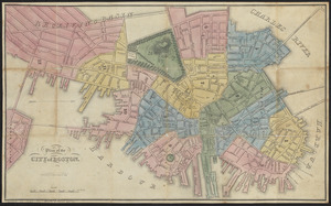
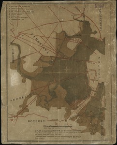
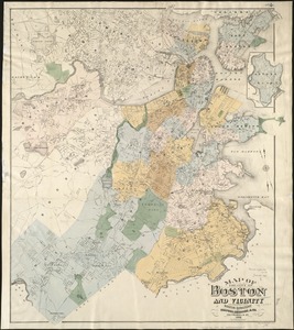
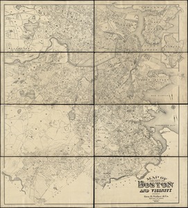
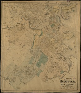
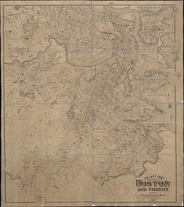
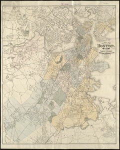
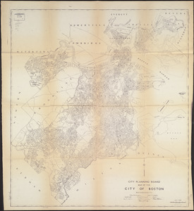
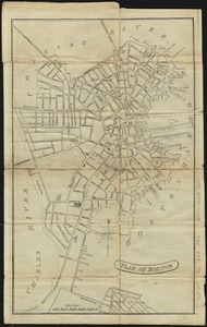
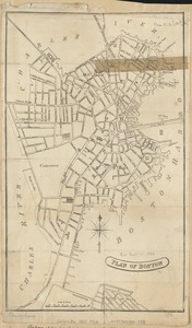
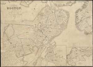
152. Plan of Boston
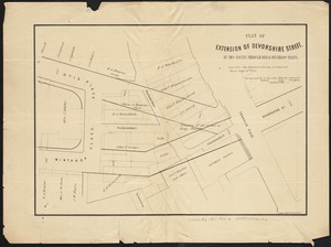
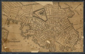
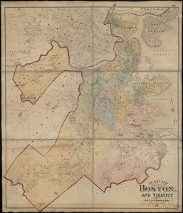
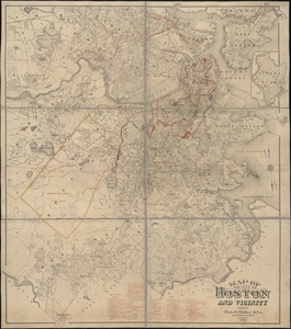
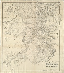
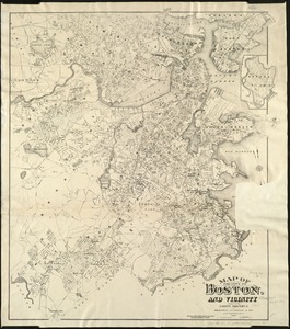
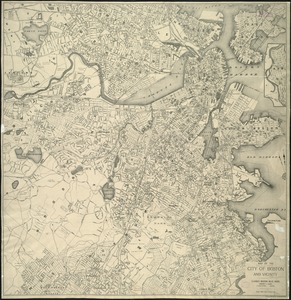
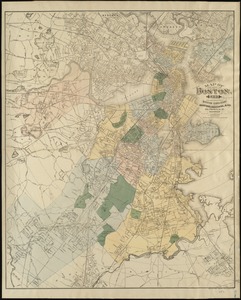
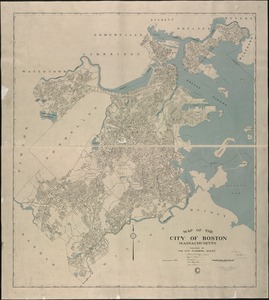
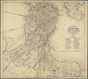
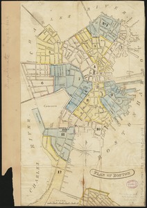
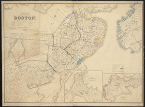
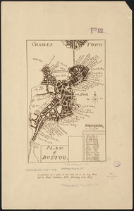
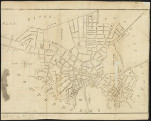
153. Plan of Boston
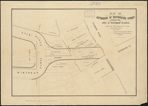
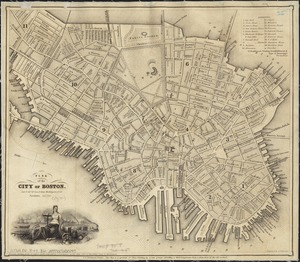
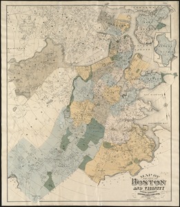
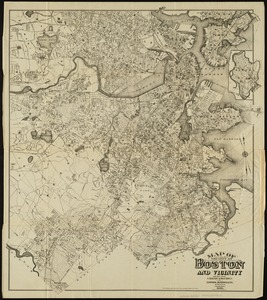
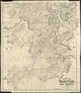
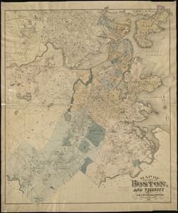
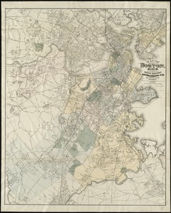
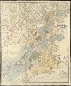
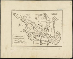
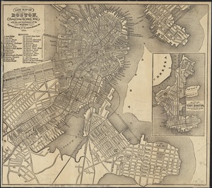
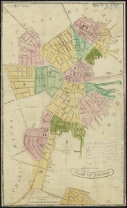
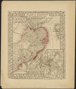
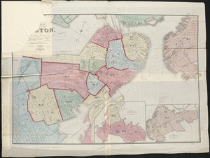
154. Plan of Boston

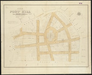
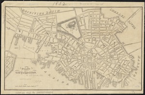
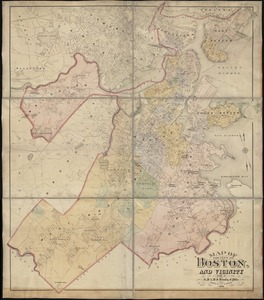
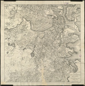
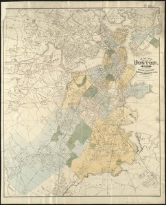
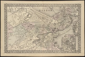
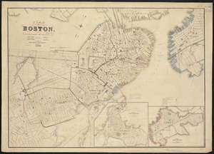
155. Plan of Boston
156. Plan of Boston
157. Plan of Boston
158. Plan of Boston
159. Plan of Boston
160. Plan of Boston
161. Plan of Boston
162. Plan of Boston
163. Plan of Boston
164. Plan of Boston
165. Plan of Boston

166. Plan of Boston