Toggle navigation
LMEC Home
Exhibitions
Georeferencing
Tools for Teachers
Collections
My Favorites
Sign Up / Log In
Search
Search the map portal
Map Collection
Map Collection
Map Sets
Search
Search
Search for
Search In
All Fields
Creator
Title
Subject
Place
Search All Digital Collections
Advanced Search
947 Results
My Search
Start Over
More Like
commonwealth-oai:f4756d361
Remove constraint More Like: commonwealth-oai:f4756d361
Filter your Search
Place
North and Central America
921
United States
639
Canada
206
New York
192
Quebec
111
Pennsylvania
60
New Jersey
54
Nova Scotia
48
more
Place
»
Topic
United States--History--Revolution, 1775-1783--Maps
305
United States--History--French and Indian War, 1754-1763--Maps
149
Saint Lawrence River--Maps
43
Mexico--Maps
35
Newport (R.I.)--Maps
27
New York (State)--Maps
24
United States--Maps
23
Hudson River (N.Y. and N.J.)--Maps
21
more
Topic
»
Date
Date range begin
–
Date range end
Current results range from
1700
to
1939
View distribution
Creator
Rocque, Mary Ann
29
Holland, Samuel, 1728-1801
25
Montrésor, John, 1736-1799
25
Bellin, Jacques Nicolas, 1703-1772
24
Jefferys, Thomas, -1771
24
Clinton, Henry, Sir, 1738?-1795
19
Robert Sayer and John Bennett (Firm)
15
Hills, John, active 1777-1819
13
more
Creator
»
Format
Maps/Atlases
931
Drawings/Illustrations
11
Documents
5
Prints
1
Georeferenced
Yes
20
No
927
Collection
American Revolutionary War-Era Maps
909
William L. Clements Library Collection
909
Norman B. Leventhal Map & Education Center Collection
38
Maritime Charts and Atlases
1
Urban Maps
1
Available to use
No known restrictions
38
Search Constraints
Sort by relevance
relevance
title
date (asc)
date (desc)
Number of results to display per page
20 per page
10
per page
20
per page
50
per page
100
per page
View results as:
grid view
map view
Search Results
1.
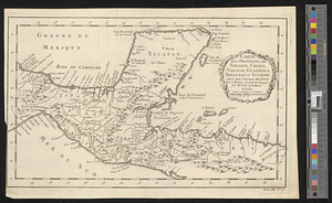
Carte des provinces de Tabasco, Chiapa, Verapaz, Guatimala, Honduras et Yucatan situées dans l'Amérique Meridionale : pour...
2.
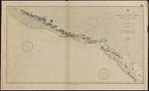
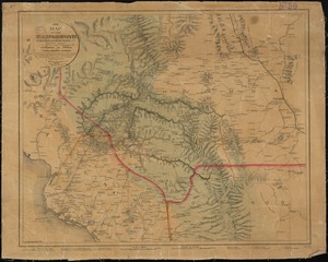
Map of the coast of Hunduras [sic] from the bay of Truxillo to the river Dulcee also the interieur part of that country, from...
3.
Guatemala and Salvador from a drawing by International Railways of Central America
4.
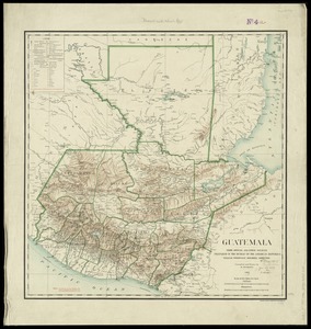
Guatemala, from official and other sources
5.
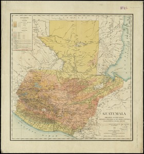
Guatemala, from official and other sources
6.
North America, west coast of Central America, Ocos River to San Juan del Sur
7.
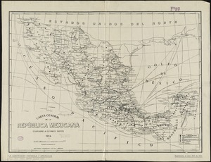
Carta general de la República Mexicana conforme a últimos datos
8.
Carta geografica general de la republica Mexicana
9.
Carte du Mexique
10.
Carte du Mexique et des pays limitrophes situés au nord et à l'est : dressée d'après la grande carte de la Nouvelle Espagne...
11.
Carte générale du royaume de la Nouvelle Espagne depuis le parallèle de 16° jusqu'au parallèle de 38° (latitude nord)
12.
Case's map of the United States, the British provinces, Mexico, and part of the West Indies : compiled from the latest...
13.
Colton's map of the United States of America, the British provinces, Mexico and the West Indies : showing the country from the...
14.
A correct map of the seat of war in Mexico : being a copy of Genl. Arista's map, taken at Resaca de la Palma, with additions...
15.
The countries of the Caribbean : including Mexico, Central America, the West Indies and the Panama Canal
16.
General railway map engraved expressly for the Official guide of the railways and steam navigation lines of the United States,...
17.
Map of Mexico, constructed from all available materials and corrected to 1862 = H. Kiepert's karte von Mexico, überdruck aus...
18.
Map of the Mexican National Railway : showing also its relative position to the railway system of the United States, both as to...
19.
Map of the Mexican National R.R "Laredo route " and connections : the scenic short line to the city of Mexico
20.
Map of the Texas, Topolobampo and Pacific Railroad and Telegraph Cpy. (Western Division) : from Chihuahua and Parral to...
‹ Prev
Next ›
1
2
3
4
5
…
47
48
![Map of the coast of Hunduras [sic] from the bay of Truxillo to the river Dulcee also the interieur part of that country, from the mouth of the river Roman to the city of Comayagua and their principle mines](https://bpldcassets.blob.core.windows.net/derivatives/metadata/commonwealth-oai:rj434386k/image_thumbnail_300.jpg)