Toggle navigation
LMEC Home
Exhibitions
Georeferencing
Tools for Teachers
Collections
My Favorites
Sign Up / Log In
Search
Search the map portal
Map Collection
Map Collection
Map Sets
Search
Search
Search for
Search In
All Fields
Creator
Title
Subject
Place
Search All Digital Collections
Advanced Search
995 Results
My Search
Start Over
More Like
commonwealth-oai:0g358d519
Remove constraint More Like: commonwealth-oai:0g358d519
Filter your Search
Place
North and Central America
958
United States
638
Canada
209
New York
192
Quebec
111
North America
96
Pennsylvania
60
New Jersey
54
more
Place
»
Topic
United States--History--Revolution, 1775-1783--Maps
306
United States--History--French and Indian War, 1754-1763--Maps
149
North America--Maps
85
Saint Lawrence River--Maps
46
Newport (R.I.)--Maps
27
New York (State)--Maps
24
United States--Maps
23
Hudson River (N.Y. and N.J.)--Maps
21
more
Topic
»
Date
Date range begin
–
Date range end
Current results range from
1700
to
1945
View distribution
Creator
Rocque, Mary Ann
29
Bellin, Jacques Nicolas, 1703-1772
25
Holland, Samuel, 1728-1801
25
Jefferys, Thomas, -1771
25
Montrésor, John, 1736-1799
25
Clinton, Henry, Sir, 1738?-1795
19
Robert Sayer and John Bennett (Firm)
16
Kitchin, Thomas, 1719-1784
14
more
Creator
»
Format
Maps/Atlases
979
Drawings/Illustrations
11
Documents
5
Prints
1
Georeferenced
Yes
14
No
981
Collection
American Revolutionary War-Era Maps
942
William L. Clements Library Collection
909
Norman B. Leventhal Map & Education Center Collection
53
Maps from AAS
17
New York Public Library Collection
9
MacLean Collection Map Library
6
Richard H. Brown Revolutionary War Map Collection at Mount Vernon
1
Available to use
No known restrictions
53
Creative Commons license
11
Search Constraints
Sort by relevance
relevance
title
date (asc)
date (desc)
Number of results to display per page
20 per page
10
per page
20
per page
50
per page
100
per page
View results as:
grid view
map view
Search Results
661.
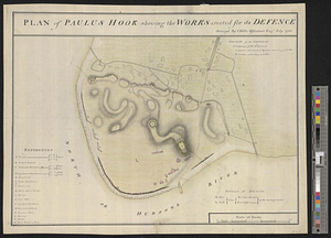
Plan of Paulus Hook shewing the works erected for its defence
662.
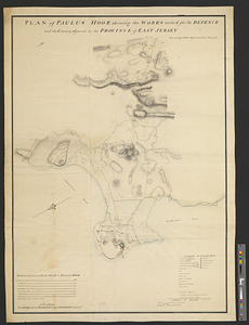
Plan of Paulus Hook shewing the works erected for its defence and the country adjacent in the province of East Jersey
663.
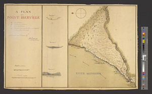
A plan of Point Ibberville
664.
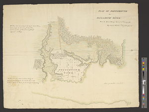
Plan of Portsmouth on Elizabeth River : from an exact survey made ye. 21st January 1781
665.
Plan of Princess Ann and Norfolk counties
666.
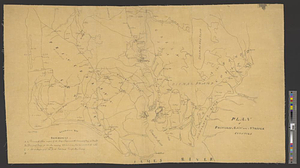
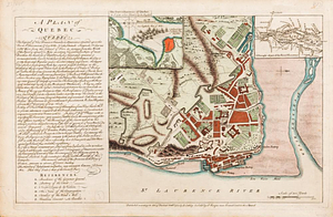
A plan of Quebec
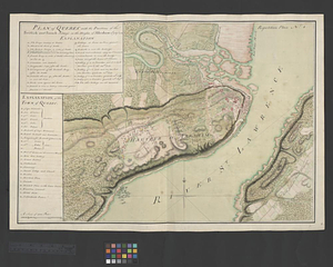
667.
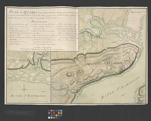
Plan of Québec and the Heights of Abraham, shewing in particular the French encampment after the battle of the 28th: April,...
668.
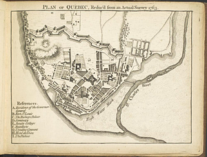
Plan of Québec, reduc'd from an actual survey 1763
669.
Plan of Québec with the positions of the British and French army's on the Heights of Abraham 13th of Sept. 1759 : repetition...
670.
Plan of Rhode-Island
671.
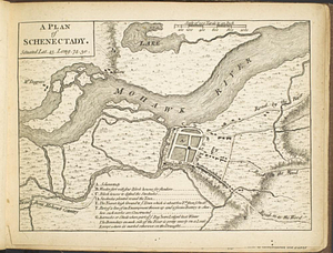
A plan of Schenectady situated lat. 43 long 74. 30
672.
A plan of Seven Island Harbour on the north side of the river St. Laurence latitude of the southermost [sic] island 50...
673.
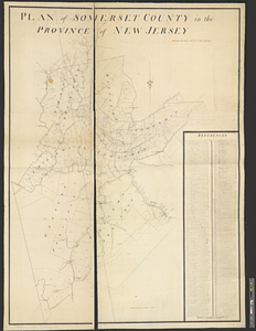
Plan of Somerset County in the province of New Jersey : copied from the original by Lieut. I. Hills, asst. engr
674.
Plan of St. Clairs battle ground
675.
A plan of St. Mary's Harbour in the province of East Florida with the proposed post for the defence of it and the inland...
676.
Plan of ten different tracts of land, containing in the whole 20.089 acres, situate partly, in districts of 96, Camden, &...
677.
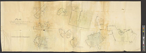
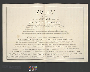
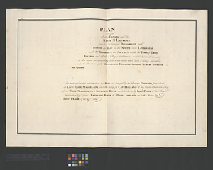
Plan of that part of Canada and the River St. Lawrence which lies between Cape Tourment and Dechambeaux on the north shore...
678.
Plan of that part of Canada and the River St. Lawrence which lies between Dechambeaux and Pointe du Lac on the north shore...
679.
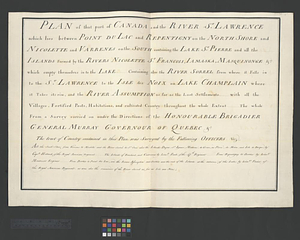
Plan of that part of Canada and the River St. Lawrence which lies between Point du Lac and Repentigny on the north shore &...
680.
Plan of that part of Canada and the River St. Lawrence which lies between Pointe du Lac and Repentigny on the North Shore and...
‹ Prev
Next ›
1
2
…
30
31
32
33
34
35
36
37
38
…
49
50
![A plan of Seven Island Harbour on the north side of the river St. Laurence latitude of the southermost [sic] island 50 [degrees] 22' north](https://bpldcassets.blob.core.windows.net/derivatives/metadata/commonwealth-oai:98810p69w/image_thumbnail_300.jpg)

![A plan of St. Mary's Harbour in the province of East Florida with the proposed post for the defence of it and the inland navigation to St. Jones [sic] River](https://bpldcassets.blob.core.windows.net/derivatives/metadata/commonwealth-oai:cv43st68h/image_thumbnail_300.jpg)