Toggle navigation
LMEC Home
Exhibitions
Georeferencing
Tools for Teachers
Collections
My Favorites
Sign Up / Log In
Search
Search the map portal
Map Collection
Map Collection
Map Sets
Search
Search
Search for
Search In
All Fields
Creator
Title
Subject
Place
Search All Digital Collections
Advanced Search
8931 Results
My Search
Start Over
More Like
commonwealth:wd376813r
Remove constraint More Like: commonwealth:wd376813r
Filter your Search
Place
North and Central America
6,162
United States
5,066
Massachusetts
2,203
Europe
1,396
Suffolk (county)
1,207
Boston
1,180
Canada
450
Asia
438
more
Place
»
Topic
Boston (Mass.)--Maps
752
United States--Maps
282
Massachusetts--Maps
235
Real property--Massachusetts--Boston--Maps
195
City planning--Massachusetts--Boston--Maps
157
Landowners--Massachusetts--Boston--Maps
142
New England--Maps
106
North America--Maps--Early works to 1800
103
more
Topic
»
Date
Date range begin
–
Date range end
Current results range from
1482
to
2023
View distribution
Creator
United States. Hydrographic Office
595
Boston Redevelopment Authority
162
O.H. Bailey & Co
148
Des Barres, Joseph F. W. (Joseph Frederick Wallet), 1722-1824
124
United States. Post Office Dept
120
Ptolemy, 2nd cent
100
Walling, Henry Francis, 1825-1888
95
Geological Survey (U.S.)
92
more
Creator
»
Format
Maps/Atlases
8,870
Manuscripts
217
Prints
56
Books
36
Objects/Artifacts
10
Drawings/Illustrations
8
Posters
5
Ephemera
1
Georeferenced
Yes
894
No
8,037
Collection
Norman B. Leventhal Map & Education Center Collection
8,764
Boston and New England Maps
2,403
Urban Maps
2,143
Maritime Charts and Atlases
1,083
American Revolutionary War-Era Maps
657
Boston Redevelopment Authority Collection
194
Mapping Boston Collection
22
Applied Geographics, Inc. Records
21
more
Collection
»
Available to use
No known restrictions
8,706
Creative Commons license
73
Search Constraints
Sort by relevance
relevance
title
date (asc)
date (desc)
Number of results to display per page
20 per page
10
per page
20
per page
50
per page
100
per page
View results as:
grid view
map view
Search Results
6461.
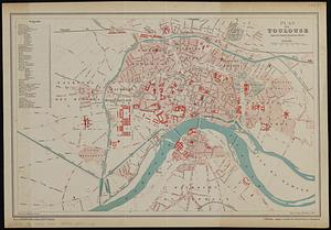
Plan de Toulouse d'apres les derniers documents officiels
6462.
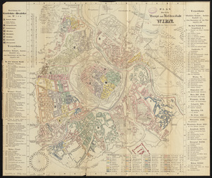
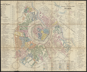
Plan der k.k. haupt- und residenzstadt Wien
6463.
Plan der k.k. haupt- und residenzstadt Wien
6464.
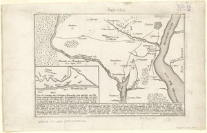
Plan der landung der Gebrüdere Howe, bey dem ausfluss des Elk Strom ...Lords Cornwallis
6465.
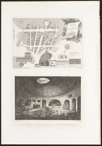
Plan des catacombes de Syracuse ; intérieur d'une des chambres sépulcrales des catacombes
6466.
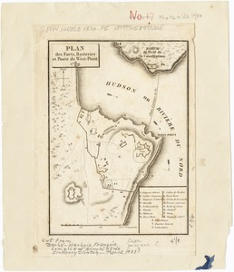
Plan des forts, batteries et poste de West-Point, 1780
6467.
Plan des paroisses de Paris : avec la distinction des parties eparses qui de dépendent
6468.
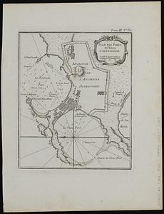
Plan des ports et ville d'Alexandrie
6469.
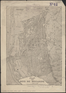
Plan du Bois de Boulogne
6470.
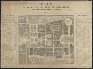
Plan du palais et du parc de Versailles
6471.
Plan du port et de la ville de Boulogne
6472.
Plan et profil au naturel de la ville d'Orleans
6473.
Plan for a complete new harbour, at Howth-town, for the use of his Majesty's mail packet-boats, fishing vessels & in case of a...
6474.
Plan for laying out the village of Oak Bluffs, Martha's Vineyard
6475.
[Plan for proposed Charles River Park]
6476.
Plan for the construction of improvements at the Boston Common
6477.
Plan for the improvement of the Central Park, adopted by the Commissioners, June 3rd, 1856
6478.
Plan for the occupation of flats owned by the Commonwealth in Boston Harbor
6479.
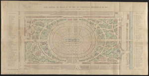
Plan général du palais et du parc de l'Exposition universelle de 1867
6480.
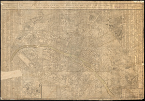
Plan géométral de Paris et de ses fauxbourgs
‹ Prev
Next ›
1
2
…
320
321
322
323
324
325
326
327
328
…
446
447
![[Plan for proposed Charles River Park]](https://bpldcassets.blob.core.windows.net/derivatives/images/commonwealth:cf95jc91c/image_thumbnail_300.jpg)