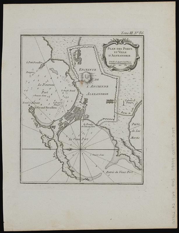
Plan des ports et ville d'Alexandrie
Item Information
- Title:
- Plan des ports et ville d'Alexandrie
- Cartographer:
- Bellin, Jacques Nicolas, 1703-1772
- Engraver:
- Arrivet, J. active 1764-1786
- Name on Item:
-
[engraved by J. Arrivet]
- Date:
-
[1764]
- Format:
-
Maps/Atlases
- Location:
-
Boston Public Library
Norman B. Leventhal Map & Education Center - Collection (local):
-
Norman B. Leventhal Map & Education Center Collection
- Subjects:
-
Abu Qir Bay (Egypt)--Maps
Alexandria (Egypt)--Maps
- Places:
-
EgyptAl BuḩayrahAbū Qīr, Khalīj (bay)
EgyptAlexandriaAlexandria
- Extent:
- 1 map ; 21 x 17 cm
- Terms of Use:
-
No known copyright restrictions.
No known restrictions on use.
- Publisher:
-
[Paris] :
[J. Bellin]
- Scale:
-
Scale approximately 1:24,500
- Language:
-
French
- Notes:
-
Shows settlements, coastlines, old and new ports, and lighthouses.
Relief shown pictorially. Depth shown by soundings.
Oriented with north to the left.
From Bellin's Petit atlas maritime (Paris : J. Bellin, 1764).
In upper right: Tome III no. 86.
- Notes (date):
-
This date is inferred.
- Identifier:
-
06_01_018980
- Call #:
-
G8302.A2 1764 .B45
- Barcode:
-
39999085970299