Toggle navigation
LMEC Home
Exhibitions
Georeferencing
Tools for Teachers
Collections
My Favorites
Sign Up / Log In
Search
Search the map portal
Map Collection
Map Collection
Map Sets
Search
Search
Search for
Search In
All Fields
Creator
Title
Subject
Place
Search All Digital Collections
Advanced Search
73 Results
My Search
Start Over
More Like
commonwealth:tx31th04g
Remove constraint More Like: commonwealth:tx31th04g
Filter your Search
Place
Canada
56
North and Central America
56
Quebec
29
Québec
28
New France
25
Saint Lawrence River
16
Province of New Brunswick
6
United States
6
more
Place
»
Topic
Québec (Québec)--Maps
27
New France--Maps
25
Seven Years' War, 1756-1763--Campaigns--Canada--Maps
20
Saint Lawrence River--Maps
17
United States--History--French and Indian War, 1754-1763--Maps
11
Canada--Maps--Early works to 1800
8
Fortification--Québec (Province)
7
Québec Campaign, Québec, 1759--Maps
7
more
Topic
»
Date
Date range begin
–
Date range end
Current results range from
1744
to
1817
View distribution
Creator
Holland, Samuel, 1728-1801
11
Bellin, Jacques Nicolas, 1703-1772
10
Mackellar, Patrick, 1717-1778
7
Montrésor, John, 1736-1799
4
Collins, John, -1795
3
Duberger, Jean-Baptiste, 1767-1821
3
Gale, Samuel, 1747-1826
3
Sproule, Geo. F. (George F.), 1741-1817
3
more
Creator
»
Format
Maps/Atlases
73
Georeferenced
No
73
Collection
American Revolutionary War-Era Maps
73
Library and Archives Canada Collection
52
William L. Clements Library Collection
21
Search Constraints
Sort by relevance
relevance
title
date (asc)
date (desc)
Number of results to display per page
20 per page
10
per page
20
per page
50
per page
100
per page
View results as:
grid view
map view
Search Results
41.
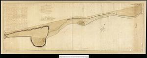
The St. Lawrence River from the Rapids of Richelieu to Cape Torment
42.
By order of His Excellency Guy Lord Dorchester... plan of part of the province of Lower Canada containing the country from the...
43.
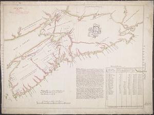
Carte des découvertes qui ont été faites dans la partie occidentale du Canada sur les mémoires de Mr de la Varanderie [Vérendrye]
44.
Carte generale du Canada ou Nouvelle France
45.
A chart of the sea-coast of Newfoundland between St. Laurence and Point May survey'd by order of Hugh Palliser esqr. commodore...
46.
Cours du fleuve St. Laurent : deuxieme feuille : depuis Quebec jusqu'au havre des Papinachouas
47.
Cours du fleuve St. Laurent : premiere feuille : contenant depuis le Lac Ontario jusqu'a Quebec
48.
Cours du fleuve St. Laurent : troisieme feuille : depuis le mont Camille jusqu'a l'isle d'Anticosti
49.
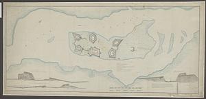
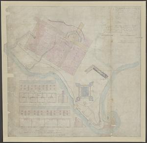
Fortifications on île aux Noix, Québec
50.
A general plan of Annapolis Royal
51.
Golphe de Saint Laurent, contenant l'Isle de Terreneuve, Detroit de Belle-Isle, entrée du Fleuve St. Laurent, Isle Royale, et...
52.
Isle aux Noix
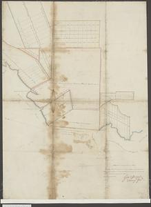
53.
A map of part of Canada for the use of His Majesty's Secretary of State, compiled in the Surveyor Generals Office, pursuant to...
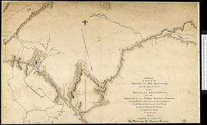
54.
Map showing land grants to the east of St. John
55.
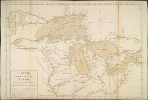
Partie occidentale du Canada contenant les lacs Ontario, Huron, Erié, et Lac Superieur
56.
Plan des terres de Abénaquis et Sokokis du village St-Francois situé dans le comté Buckinghamshire, district des Trois-Rivières...
57.
A plan of a new road in the parish of Dechambault
58.
Plan of old fort Frontenac and town plot of Kingston
59.
A plan of part of the province of New Brunswick, with the adjacent parts of the province of Lower Canada, and the territory of...
60.
Plan of part of the Province of Nova Scotia or Accadie
‹ Prev
Next ›
1
2
3
4


![Carte des découvertes qui ont été faites dans la partie occidentale du Canada sur les mémoires de Mr de la Varanderie [Vérendrye]](https://bpldcassets.blob.core.windows.net/derivatives/images/commonwealth:wp98ck41z/image_thumbnail_300.jpg)