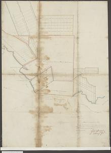
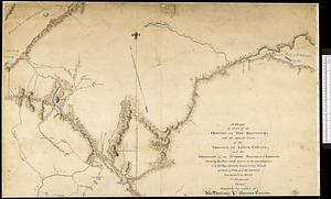
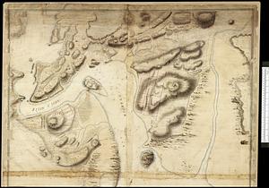
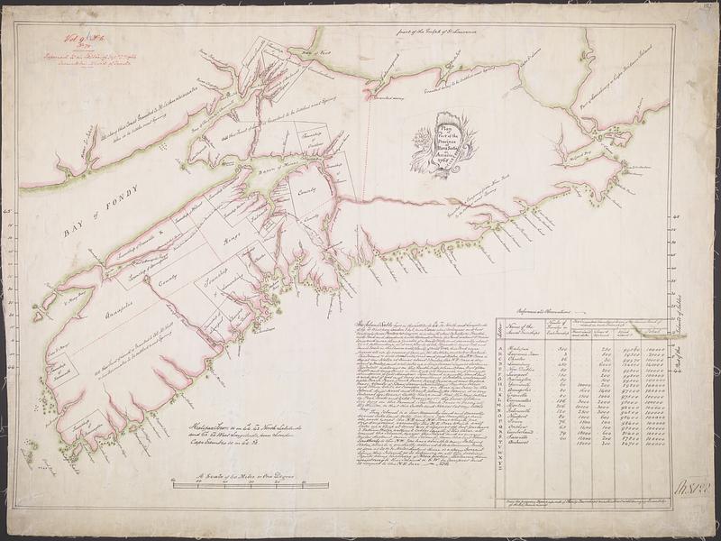
Plan of part of the Province of Nova Scotia or Accadie
This map is also available in American Revolutionary Geographies Online (ARGO), a collections portal especially built for material relating to the American Revolutionary War Era. Visit ARGO to learn more about this item and explore the historical geography of North America in the late eighteenth century.
Item Information
- Title:
- Plan of part of the Province of Nova Scotia or Accadie
- Cartographer:
- Morris, Charles, 1711-1781
- Date:
-
1765
- Format:
-
Maps/Atlases
- Genre:
-
Manuscript maps
- Location:
- Library and Archives Canada
- Collection (local):
-
Library and Archives Canada Collection
- Subjects:
-
Nova Scotia--Maps--Early works to 1800
New Brunswick--Maps--Early works to 1800
- Places:
-
CanadaNova Scotia (province)
CanadaProvince of New Brunswick (province)
- Extent:
- 1 manuscript map : hand color ; 60 x 80 cm
- Terms of Use:
-
Copyright expired. Contact host institution to download image.
Contact host institution for more information.
- Place of origin:
-
[Halifax]
- Language:
-
English
- Catalog Record:
-
Catalog record
- Identifier:
-
e007913190
- Barcode:
-
4129964