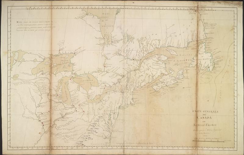
Carte generale du Canada ou Nouvelle France
This map is also available in American Revolutionary Geographies Online (ARGO), a collections portal especially built for material relating to the American Revolutionary War Era. Visit ARGO to learn more about this item and explore the historical geography of North America in the late eighteenth century.
Item Information
- Title:
- Carte generale du Canada ou Nouvelle France
- Cartographer:
- Bellin, Jacques Nicolas, 1703-1772
- Name on Item:
-
dresée par le Sr. Bellin, Ingenieur de la marine
- Date:
-
1752
- Format:
-
Maps/Atlases
- Genre:
-
Manuscript maps
- Location:
- Library and Archives Canada
- Collection (local):
-
Library and Archives Canada Collection
- Subjects:
-
Canada--Maps--Early works to 1800
Forts--Canada--Maps
New England--Maps--Early works to 1800
New France--Maps
- Places:
-
New France (former administrative division)
New England (area)
- Extent:
- 1 manuscript map : hand color ; 53 x 84 cm
- Terms of Use:
-
Copyright expired. Contact host institution to download image.
Contact host institution for more information.
- Place of origin:
-
Paris
- Language:
-
French
- Catalog Record:
-
Catalog record
- Notes:
-
Part of Cartes de la Nouvelle-France ou Canada, a manuscript atlas by Jacques-Nicolas Bellin, 1752 (5 maps on 7 sheets).
- Identifier:
-
e008222095
- Barcode:
-
3693693
![Carte des découvertes qui ont été faites dans la partie occidentale du Canada sur les mémoires de Mr de la Varanderie [Vérendrye]](https://bpldcassets.blob.core.windows.net/derivatives/images/commonwealth:wp98ck41z/image_thumbnail_300.jpg)


