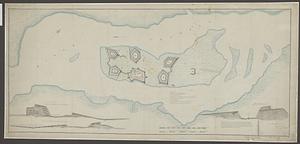
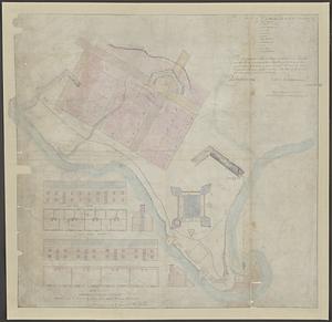
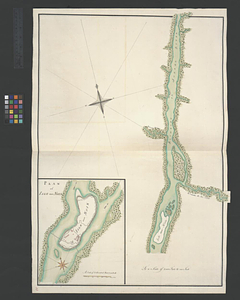
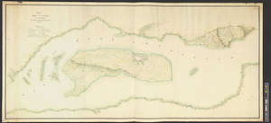
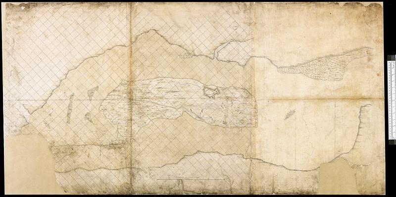
Fortifications on île aux Noix, Québec
This map is also available in American Revolutionary Geographies Online (ARGO), a collections portal especially built for material relating to the American Revolutionary War Era. Visit ARGO to learn more about this item and explore the historical geography of North America in the late eighteenth century.
Item Information
- Title:
- Fortifications on île aux Noix, Québec
- Date:
-
[1778]
- Format:
-
Maps/Atlases
- Genre:
-
Manuscript maps
- Location:
- Library and Archives Canada
- Collection (local):
-
Library and Archives Canada Collection
- Subjects:
-
Fortification--Canada
Noix Island (Le Haut-Richelieu, Québec)--Maps
- Places:
-
CanadaÎle aux Noix (island)
- Extent:
- 1 manuscript map : hand color ; 76 x 148 cm
- Terms of Use:
-
Copyright expired. Contact host institution to download image.
Contact host institution for more information.
- Place of origin:
-
[Québec]
- Language:
-
English
- Catalog Record:
-
Catalog record
- Notes:
-
Royal Engineers Office Canada Stamp.
- Notes (date):
-
This date is inferred.
- Identifier:
-
n0008989k
- Barcode:
-
4127589