Toggle navigation
LMEC Home
Exhibitions
Georeferencing
Tools for Teachers
Collections
My Favorites
Sign Up / Log In
Search
Search the map portal
Map Collection
Map Collection
Map Sets
Search
Search
Search for
Search In
All Fields
Creator
Title
Subject
Place
Search All Digital Collections
Advanced Search
527 Results
My Search
Start Over
More Like
commonwealth:q524ng442
Remove constraint More Like: commonwealth:q524ng442
Filter your Search
Place
North and Central America
459
United States
323
New York
41
Canada
26
Florida
20
Mississippi
18
Alabama
17
Chatham (county)
16
more
Place
»
Topic
Manuscript maps--Early works to 1800
138
Manuscript maps
21
Gulf Coast (U.S.)--Maps, Manuscript--Early works to 1800
12
Fortification--New York (State)--New York--Maps--Early works to 1800
11
New York (N.Y.)--Buildings, structures, etc--Maps, Manuscript--Early works to 1800
9
New York (N.Y.)--Maps, Manuscript--Early works to 1800
8
Saratoga Campaign, N.Y., 1777--Maps, Manuscript--Early works to 1800
8
Coasts--Florida--Maps--Early works to 1800
7
more
Topic
»
Date
Date range begin
–
Date range end
Current results range from
1700
to
1899
View distribution
Creator
Hills, John, (Surveyor)
18
Montrésor, John, 1736-1799
16
Dumont de Montigny
14
Bingham, William, 1752-1804
11
Adlum, John, 1759-1836
9
Washington, George, 1732-1799
9
Faden, William, 1749-1836
7
Morgan, Benjamin, (Draftsman)
7
more
Creator
»
Format
Maps/Atlases
525
Manuscripts
522
Objects/Artifacts
2
Georeferenced
Yes
6
No
521
Collection
American Revolutionary War-Era Maps
522
Library of Congress Collection
485
Newberry Library Collection
39
Maritime Charts and Atlases
32
Urban Maps
17
Boston and New England Maps
4
Norman B. Leventhal Map Center Collection
3
Available to use
Creative Commons license
485
No known restrictions
3
Search Constraints
Sort by date (asc)
relevance
title
date (asc)
date (desc)
Number of results to display per page
20 per page
10
per page
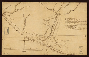
20
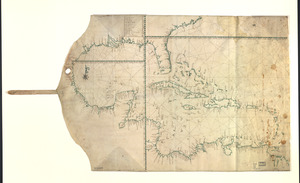
per page
50
per page
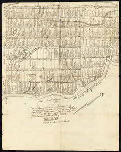
100
per page
View results as:
grid view
map view
Search Results
141.
Map of the coast of New Jersey from Barnegat Inlet to Cape May
142.
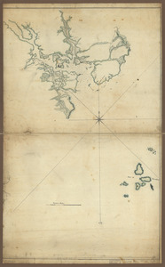
Map of the roads from New Rochelle to Kingstreet, Westchester County
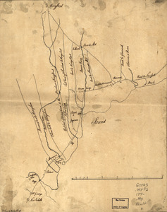
143.
Map showing Caribbean area including West Indies and Gulf of Mexico
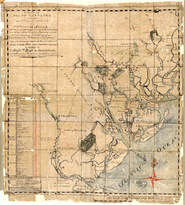
144.
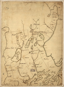
New Hampshire
145.
New York Island and East Jersey : Unfinished
146.
Old map of Brooklyn and greater part of King's County, Long Island
147.
Part of New Jersey
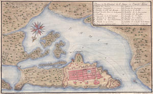
148.
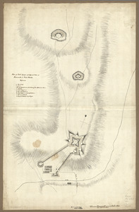
Plan of Fort George and adjacent works at Pensacola in West Florida
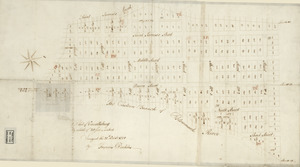
149.
Plan of the Town of Turner, formerly Silvester Plantation : out side lines and part of the lotts ran out
150.
Plano de la ciudad de S. Juan de Puerto Rico
151.
Plano de Philadelphia
152.
Plat of Carrollsburg
153.
Potomack
154.
Soundings of the bar of Sandy Hook at low water & the marks made use of for the best water
155.
St. Eustatius, Leeward Islands
156.
Survey of region embraced by Somerset, Bedford, and Fulton Counties and including Cumberland, Md.
157.
Ysla de Cuba
158.
A map of South Carolina from the Savannah Sound to St. Helena's Sound, with the several plantations, their proper boundary...
159.
Part of Oxford and Cumberland counties, Me
160.
A plan of Becket protracted by a scale of 120 rods to an inch
‹ Prev
Next ›
1
2
…
4
5
6
7
8
9
10
11
12
…
26
27