New York Island and East Jersey : Unfinished
This map is also available in American Revolutionary Geographies Online (ARGO), a collections portal especially built for material relating to the American Revolutionary War Era. Visit ARGO to learn more about this item and explore the historical geography of North America in the late eighteenth century.
Item Information
- Title:
- New York Island and East Jersey : Unfinished
- Title (alt.):
-
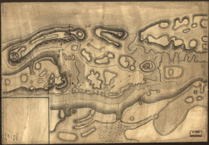
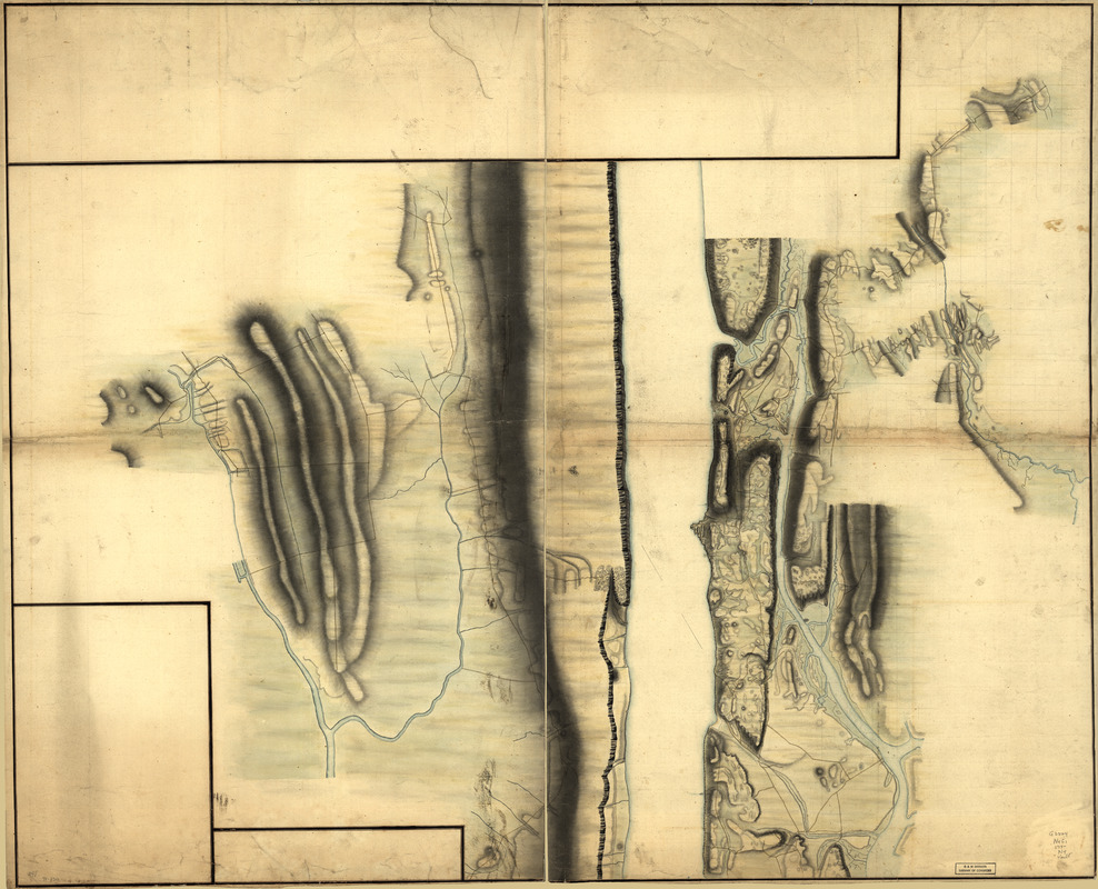
Topography of upper part of Manhattan Island
- Date:
-
[1770?–1779?]
- Format:
-
Maps/Atlases
Manuscripts
- Location:
- Library of Congress Geography and Map Division
- Collection (local):
-
Library of Congress Collection
- Subjects:
-
New York (N.Y.)--Maps, Physical--Early works to 1800
Bergen County (N.J.)--Maps, Physical--Early works to 1800
New York (N.Y.)--Maps, Manuscript--Early works to 1800
Bergen County (N.J.)--Maps, Manuscript--Early works to 1800
- Places:
-
Bergen (county)
New York
- Extent:
- 1 manuscript map : hand color, 92 x 113 cm.
- Terms of Use:
-
No known copyright restrictions.
This work is licensed for use under a Creative Commons Attribution Non-Commercial Share Alike License (CC BY-NC-SA).

- Scale:
-
Scale ca. 1:17,000
- Language:
-
English
- Catalog Record:
-
https://lccn.loc.gov/gm71002311
- Notes:
-
Title from manuscript catalog of the Peter Force map collection.
Variant title in Philip Lee Phillips' A list of maps of America: Topography of upper part of Manhattan Island from about 85th St. to about the Van Cortlandt Manor house, above King's bridge. 1777-1780.
Manuscript, pen-and-ink and watercolor.
Relief shown by shading.
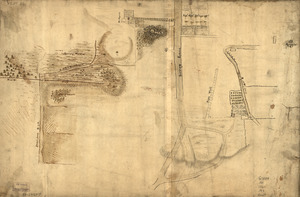
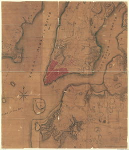
Shows detailed topography of Manhattan Island north of Hell Gate, east of the Harlem River to the Bronx River, and in New Jersey west to the Hackensack River. Without names or military information.
Note on verso: No. 6. Unfinished drawings. 50 sheets. (2) same as ten other with work on Jersey side and in Westchester County.
- Notes (citation):
-
LC Maps of North America, 1750-1789, 1091
- Identifier:
-
ar109100z