Toggle navigation
LMEC Home
Exhibitions
Georeferencing
Tools for Teachers
Collections
My Favorites
Sign Up / Log In
Search
Search the map portal
Map Collection
Map Collection
Map Sets
Search
Search
Search for
Search In
All Fields
Creator
Title
Subject
Place
Search All Digital Collections
Advanced Search
527 Results
My Search
Start Over
More Like
commonwealth:q524ng24k
Remove constraint More Like: commonwealth:q524ng24k
Filter your Search
Place
North and Central America
459
United States
323
New York
41
Canada
26
Florida
20
Mississippi
18
Alabama
17
Chatham (county)
16
more
Place
»
Topic
Manuscript maps--Early works to 1800
138
Manuscript maps
21
Gulf Coast (U.S.)--Maps, Manuscript--Early works to 1800
12
Fortification--New York (State)--New York--Maps--Early works to 1800
11
New York (N.Y.)--Buildings, structures, etc--Maps, Manuscript--Early works to 1800
9
New York (N.Y.)--Maps, Manuscript--Early works to 1800
8
Saratoga Campaign, N.Y., 1777--Maps, Manuscript--Early works to 1800
8
Coasts--Florida--Maps--Early works to 1800
7
more
Topic
»
Date
Date range begin
–
Date range end
Current results range from
1700
to
1899
View distribution
Creator
Hills, John, (Surveyor)
18
Montrésor, John, 1736-1799
16
Dumont de Montigny
14
Bingham, William, 1752-1804
11
Adlum, John, 1759-1836
9
Washington, George, 1732-1799
9
Faden, William, 1749-1836
7
Morgan, Benjamin, (Draftsman)
7
more
Creator
»
Format
Maps/Atlases
525
Manuscripts
522
Objects/Artifacts
2
Georeferenced
Yes
6
No
521
Collection
American Revolutionary War-Era Maps
522
Library of Congress Collection
485
Newberry Library Collection
39
Maritime Charts and Atlases
32
Urban Maps
17
Boston and New England Maps
4
Norman B. Leventhal Map Center Collection
3
Available to use
Creative Commons license
485
No known restrictions
3
Search Constraints
Sort by date (desc)
relevance
title
date (asc)
date (desc)
Number of results to display per page
50 per page
10
per page
20
per page
50
per page
100
per page
View results as:
grid view
map view
Search Results
1.
Copy of a map presented to the Congres [sic]
2.
Cours de l'Ohio depuis sa source jusqu'a sa jonction avec la Riviere d'Ouabache et les pais voisons
3.
1. Prise de Newport par d'Estaing, 1778 : 2. Embossage de Ternay à Newport, 1780
4.
20 tracts, Tioga County
5.
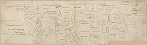
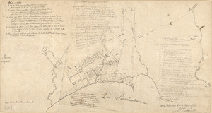
Armstrong C[ount]y
6.
Costa desde la Mobila asta la Bahía de Sn. Josef
7.
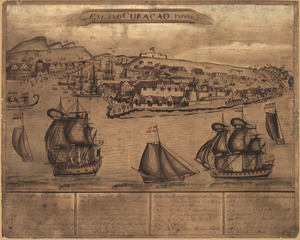
't Eÿland Curacao, anno 1800
8.
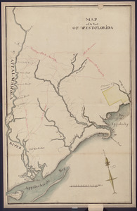
Map of a part of west-Florida : overlay down
9.
Map of a part of west-Florida : overlay up
10.
Map of Las Ormigas Grant, Sabine and DeSoto Parishes, Louisiana
11.
Map of Mobile Bay
12.
Map of the Rigolet and the mouth of the Pearl River, Louisiana and Mississippi
13.
A Map of the Trenton and New-Brunswick Turnpike-road
14.
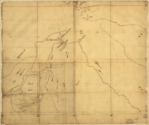
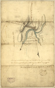
[Plan de defense de New-Port] : [dans l'Isle Rhode (Amerique Septentrionalle) par l'escadre du Roy aux ordres de Monsieur le...
15.
Plan of part of the city of Washington : on which is shewn the squares, lots, &c., divided between William Prout Esq'r and the...
16.
Plan of Portland
17.
This map of Kentucke
18.
Dto de Baton Rouge
19.
Mapa de las locaciones del Distrito de la Na Feliciana
20.
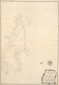
Mapa de las locaciones del Distrito de Manchack
21.
Portion of a map of Feliciana District, Spanish Louisiana, from the Lac de la Croix to Thompson's Creek
22.
Bend of the Missouri River
23.
Map of Missouri River and vicinity from Saint Charles, Missouri, to Mandan villages of North Dakota : used by Meriwether Lewis...
24.
Map of the north shore of Lake Pontchartrain between Bayou Chenchuba and Bayou Lacombe, Louisiana
25.
A map of the town of Rhinebeck in the County of Dutchess : surveyed in December 1797 and January 1798
26.
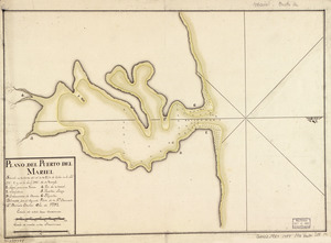
Plano del Puerto del Mariel situado en la costa del N. de la ysla de Cuba en la latd. 23⁰5ʹ y en la longd. 293⁰16ʹ de Tenerife
27.
Map of part of the city of Washington shewing the situation of the mansion house, grave yard & buildings belonging to Mr....
28.
A plan of the city of Savannah : with a drawing of the part of the city burnt in the dreadful fires of the 26 November & 6...
29.
Indiana Fort Wayne : ms. map of Fort Wayne said to have been made on July 18, 1795, for General Anthony Wayne
30.
Carta esférica de las yslas de Sn. Martin, Sn. Bartolome y Anguila
31.
Plano del pto. de Fuerte Delfin en la Ys. Española de Sto. Domingo situado en la latd. de 19⁰40ʹ N. y en longd. de 66⁰20ʹ al...
32.
Carta esférica de la canal entre Puerto Rico y Santo Domingo
33.
Carta esférica de la Ysla de la Granada
34.
Carta esférica de la Ysla de Tabago
35.
Carta esférica de las Yslas Virgenes
36.
Carta esférica de las Yslas Virgenes
37.
Carta esférica que comprehende la Ysla de Trinidad con sus adyacentes, bajos, sondas y veriles
38.
Carte d'un partie de l'Amerique Septentrionale : ou est tracée notre route d'Halifax à New York, par Quebec, Montreal, le Lac...
39.
Plano geométrico de la rada y carenero de San Jorge en la costa occidl. de la ysla de la Granada
40.
Plano geométrico de las ensenadas de Añasco y Mayagües en la costa occidental de la ysla de Puerto Rico
41.
Plano geométrico del puerto principal de San Tomas en la costa meridional de la ya. del mismo nombre ; Plano geométrico del...
42.
Territory of Columbia
43.
Descripción ychonográfica de la ciudad, puerto y bahía de Santiago de Cuba situado en 20⁰6ʹ de latitud norte y en longd. de...
44.
Plano del Lago de Sn. Bernardo en el Seno Mexica no
45.
Plano del Puerto Naranjos cituado 4 leguas al oeste de Punta de Mulas en la costa del N. de la ysla de Cuba
46.
Plano geométrico de la boca de monos y puertos de Charguaramas y Carenero en la Ya. de Trinidad
47.
Dotted line map of Washington, D.C., 1791, before Aug. 19th
48.
Map of Alexandria, Virginia
49.
Part of the Province of Virginia
50.
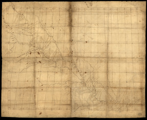
Plan of the city intended for the permanent seat of the government of t[he] United States : projected agreeable to the...
‹ Prev
Next ›
1
2
3
4
5
…
10
11
![Copy of a map presented to the Congres [sic]](https://bpldcassets.blob.core.windows.net/derivatives/images/commonwealth:z603vn16x/image_thumbnail_300.jpg)


![Armstrong C[ount]y](https://bpldcassets.blob.core.windows.net/derivatives/images/commonwealth:q524ng353/image_thumbnail_300.jpg)


![[Plan de defense de New-Port]](https://bpldcassets.blob.core.windows.net/derivatives/images/commonwealth:z603vn044/image_thumbnail_300.jpg)


![Plan of the city intended for the permanent seat of the government of t[he] United States](https://bpldcassets.blob.core.windows.net/derivatives/images/commonwealth:q524nf917/image_thumbnail_300.jpg)