Toggle navigation
LMEC Home
Exhibitions
Georeferencing
Tools for Teachers
Collections
My Favorites
Sign Up / Log In
Search
Search the map portal
Map Collection
Map Collection
Map Sets
Search
Search
Search for
Search In
All Fields
Creator
Title
Subject
Place
Search All Digital Collections
Advanced Search
513 Results
My Search
Start Over
More Like
commonwealth:q524nf16p
Remove constraint More Like: commonwealth:q524nf16p
Filter your Search
Place
North and Central America
452
United States
326
New York
41
District of Columbia
30
Washington
29
Florida
19
Canada
17
Alabama
15
more
Place
»
Topic
Manuscript maps--Early works to 1800
92
Washington (D.C.)--Maps
31
Manuscript maps
21
Gulf Coast (U.S.)--Maps, Manuscript--Early works to 1800
12
Fortification--New York (State)--New York--Maps--Early works to 1800
11
New York (N.Y.)--Buildings, structures, etc--Maps, Manuscript--Early works to 1800
9
New York (N.Y.)--Maps, Manuscript--Early works to 1800
8
Saratoga Campaign, N.Y., 1777--Maps, Manuscript--Early works to 1800
8
more
Topic
»
Date
Date range begin
–
Date range end
Current results range from
1700
to
1926
View distribution
Creator
Hills, John, (Surveyor)
18
Montrésor, John, 1736-1799
16
Bingham, William, 1752-1804
12
Adlum, John, 1759-1836
10
Washington, George, 1732-1799
9
Faden, William, 1749-1836
7
Morgan, Benjamin, (Draftsman)
7
Wangenheim, Friedrich Adam Julius von
7
more
Creator
»
Format
Maps/Atlases
511
Manuscripts
475
Objects/Artifacts
2
Georeferenced
Yes
13
No
500
Collection
American Revolutionary War-Era Maps
484
Library of Congress Collection
480
Maritime Charts and Atlases
30
Norman B. Leventhal Map & Education Center Collection
29
Urban Maps
19
William L. Clements Library Collection
2
MacLean Collection Map Library
1
New York Public Library Collection
1
Available to use
Creative Commons license
481
No known restrictions
29
Search Constraints
Sort by relevance
relevance
title
date (asc)
date (desc)
Number of results to display per page
20 per page
10
per page
20
per page
50
per page
100
per page
View results as:
grid view
map view
Search Results
181.
Map of the north shore of Lake Pontchartrain between Bayou Chenchuba and Bayou Lacombe, Louisiana
182.
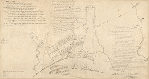
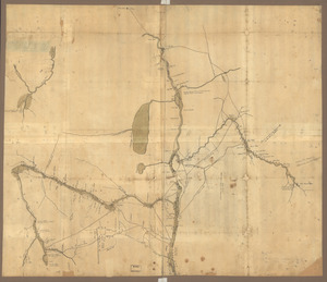
Map of the northern parts of New York
183.
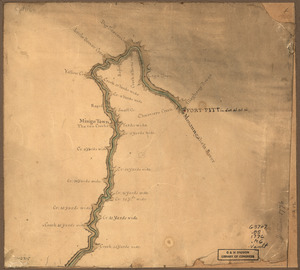
Map of the Ohio River from Fort Pitt
184.
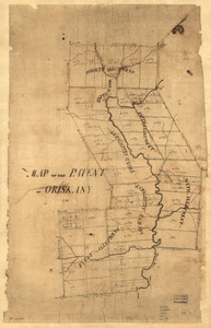
Map of the patent of Oriskany
185.
Map of the Rigolet and the mouth of the Pearl River, Louisiana and Mississippi
186.
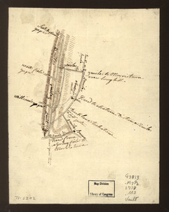
Map of the roads from New Rochelle to Kingstreet, Westchester County
187.
A Map of the route from the city of Albany to the Fort Osswego on the Lake of Cataroque
188.
A map of the sources of the Chaudière, Penobscot, and Kennebec rivers
189.
A map of the town of Rhinebeck in the County of Dutchess : surveyed in December 1797 and January 1798
190.
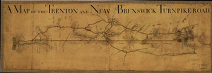
A Map of the Trenton and New-Brunswick Turnpike-road
191.
A Map of the western parts of the province of Pennsylvania, Virginia, &c
192.
Map showing Caribbean area including West Indies and Gulf of Mexico
193.
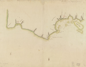
Map showing coast in the regions of Aguadilla, Añasco, and Mayagüez
194.
Map showing coast in the regions of Aguadilla, Añasco, and Mayagüez
195.
Map showing roads to Morristown
196.
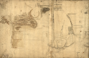
Map showing the Bowery Lane area of Manhattan
197.
Map showing the west shore of the North or Hudson River
198.
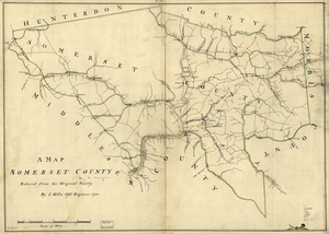
A map, Somerset County
199.
A map with part of the Florida coast from Cape Blaise to Apalachie : with the boundaries betwixt East & West Floridas, 160...
200.
Mapa de las locaciones del Distrito de la Na Feliciana
‹ Prev
Next ›
1
2
…
6
7
8
9
10
11
12
13
14
…
25
26