Toggle navigation
LMEC Home
Exhibitions
Georeferencing
Tools for Teachers
Collections
My Favorites
Sign Up / Log In
Search
Search the map portal
Map Collection
Map Collection
Map Sets
Search
Search
Search for
Search In
All Fields
Creator
Title
Subject
Place
Search All Digital Collections
Advanced Search
513 Results
My Search
Start Over
More Like
commonwealth:q524nf16p
Remove constraint More Like: commonwealth:q524nf16p
Filter your Search
Place
North and Central America
452
United States
326
New York
41
District of Columbia
30
Washington
29
Florida
19
Canada
17
Alabama
15
more
Place
»
Topic
Manuscript maps--Early works to 1800
92
Washington (D.C.)--Maps
31
Manuscript maps
21
Gulf Coast (U.S.)--Maps, Manuscript--Early works to 1800
12
Fortification--New York (State)--New York--Maps--Early works to 1800
11
New York (N.Y.)--Buildings, structures, etc--Maps, Manuscript--Early works to 1800
9
New York (N.Y.)--Maps, Manuscript--Early works to 1800
8
Saratoga Campaign, N.Y., 1777--Maps, Manuscript--Early works to 1800
8
more
Topic
»
Date
Date range begin
–
Date range end
Current results range from
1700
to
1926
View distribution
Creator
Hills, John, (Surveyor)
18
Montrésor, John, 1736-1799
16
Bingham, William, 1752-1804
12
Adlum, John, 1759-1836
10
Washington, George, 1732-1799
9
Faden, William, 1749-1836
7
Morgan, Benjamin, (Draftsman)
7
Wangenheim, Friedrich Adam Julius von
7
more
Creator
»
Format
Maps/Atlases
511
Manuscripts
475
Objects/Artifacts
2
Georeferenced
Yes
13
No
500
Collection
American Revolutionary War-Era Maps
484
Library of Congress Collection
480
Maritime Charts and Atlases
30
Norman B. Leventhal Map & Education Center Collection
29
Urban Maps
19
William L. Clements Library Collection
2
MacLean Collection Map Library
1
New York Public Library Collection
1
Available to use
Creative Commons license
481
No known restrictions
29
Search Constraints
Sort by relevance
relevance
title
date (asc)
date (desc)
Number of results to display per page
20 per page
10
per page
20
per page
50
per page
100
per page
View results as:
grid view
map view
Search Results
1.
Topographical map of the District of Columbia and a portion of Virginia
2.
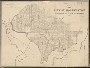
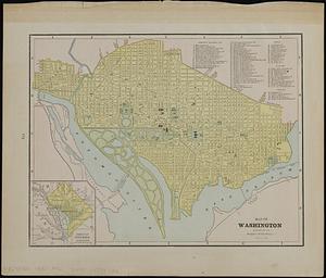
Map of the city of Washington
3.
Hall and Elvans' subdivision of Meridian Hill, Washington County, D.C : Sept. 1867
4.
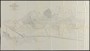
Index map of land near Anacostia River D.C. between district line and Baltimore & Potomac R.R. : from records of the District...
5.
Carte générale des États-Unis de l'Amérique avec les plans des principales villes
6.
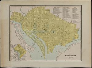
City of Washington
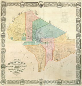
7.
Colton's Georgetown and the city of Washington : the capital of the United States of America ; Colton's map showing part of...
8.
Delaware and Maryland
9.
E. & G.W. Blunt's corrected map of Washington and the seat of war on the Potomac
10.
Map of n. eastern Virginia and vicinity of Washington
11.
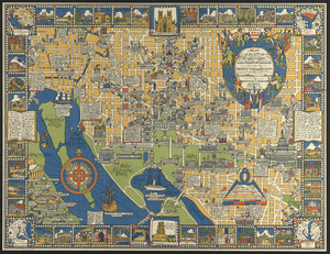
Map of the city of Washington in the District of Columbia shewing the architectvre and history from the most ancient times down...
12.
Map of the seat of war : containing a map of the vicinity of Washington, Baltimore, Harper's Ferry and Annapolis, with five...
13.
Map of Virginia and Maryland, constructed from the latest authorities
14.
Map of Washington
15.
Map of Washington ; map of Cincinnati
16.
Map of Washington City
17.
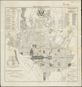
The nation's capital : [Washington D.C.]
18.
New bond paper map of the city of Washington
19.
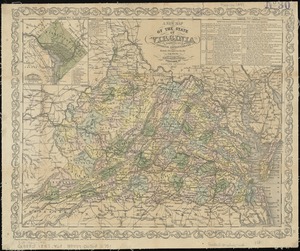
A new map of the state of Virginia : exhibiting its internal improvements, roads, distances, &c
20.
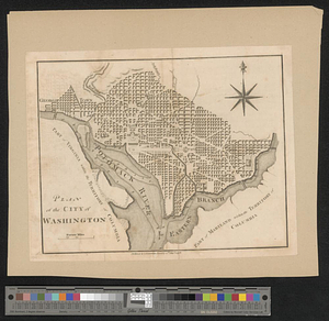
Plan of the city of Washington
‹ Prev
Next ›
1
2
3
4
5
…
25
26