Toggle navigation
LMEC Home
Exhibitions
Georeferencing
Tools for Teachers
Collections
My Favorites
Sign Up / Log In
Search
Search the map portal
Map Collection
Map Collection
Map Sets
Search
Search
Search for
Search In
All Fields
Creator
Title
Subject
Place
Search All Digital Collections
Advanced Search
102 Results
My Search
Start Over
More Like
commonwealth:q524n610k
Remove constraint More Like: commonwealth:q524n610k
Filter your Search
Place
North and Central America
90
United States
84
Adams (county)
8
World
8
Gettysburg National Military Park
6
Rockland (county)
6
Fort Clinton
4
Fort Montgomery
4
more
Place
»
Topic
Manuscript maps
84
World maps
7
Gettysburg (Pa.)--Maps
3
Gettysburg, Battle of, Gettysburg, Pa., 1863
3
Gettysburg, Battle of, Gettysburg, Pa., 1863--Maps
3
United States--History--Civil War, 1861-1865
3
Fort Montgomery, N.Y--History--Revolution, 1775-1783--Maps--Early works to 1800
2
Fort Montgomery, N.Y--Maps--Early works to 1800
2
more
Topic
»
Date
Date range begin
–
Date range end
Current results range from
1483
to
1943
View distribution
Creator
Pintado, Vicente Sebastián, 1774-1829
6
Bachelder, John B. (John Badger), 1825-1894
4
Bien, Julius, 1826-1909
3
Brady, Mathew B., approximately 1823-1896
3
Endicott & Co. (New York, N.Y.)
3
Neumann, Louis E.
3
Bingham, William, 1752-1804
2
O'Sullivan, Timothy H., 1840-1882
2
more
Creator
»
Format
Maps/Atlases
97
Manuscripts
85
Photographs
3
Books
1
Documents
1
Georeferenced
Yes
1
No
101
Collection
Norman B. Leventhal Map Center Collection
80
American Revolutionary War-Era Maps
25
Library of Congress Collection
22
Boston and New England Maps
9
Maritime Charts and Atlases
2
Urban Maps
1
Available to use
No known restrictions
76
Creative Commons license
25
Search Constraints
Sort by relevance
relevance
title
date (asc)
date (desc)
Number of results to display per page
100 per page
10
per page
20
per page
50
per page
100
per page
View results as:
grid view
map view
Search Results
1.
Survey of land for Richard Stephenson in Frederick County; attested by Robert Worthington, Henry Bradshaw and Lewis Thomas : recto
2.
20 tracts, Tioga County
3.
Approaches to Cohasset Harbor Mass. : topography surveyed in 1847 ; hydrography surveyed in 1846-'56
4.
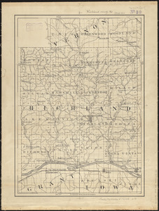
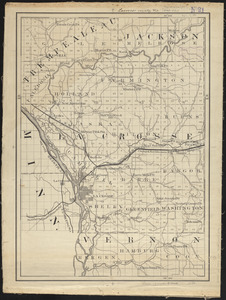
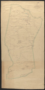
Armstrong C[ount]y
5.
Ashland & Bayfield
6.
Barron County, Wis.
7.
Brown County, Wis. & Kewaunee County, Wis.
8.
Buffalo County, Wis.
9.
Burnett County, Wis.
10.
Clark County, Wis.
11.
Columbia County, Wis.
12.
Crawford County, Wis.
13.
Dane County, Wis.
14.
Dodge County, Wis.
15.
Door County, Wis.
16.
Douglas County, Wis.
17.
Dto de Baton Rouge
18.
Dunn County, Wis.
19.
Eau Claire County, Wis.
20.
Fond du Lac County, Wis.
21.
A general & particular plan of the island of Castle William near Boston : shewing the works in their original & present state,...
22.
Grant County, Wis.
23.
Green County, Wis.
24.
Iowa County, Wis.
25.
Jackson County, Wis.
26.
Jefferson County, Wis.
27.
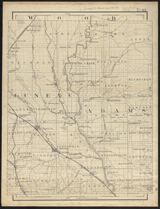
Juneau & Adams Counties, Wis.
28.
Lacrosse County, Wis.
29.
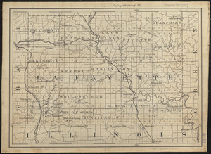
Lafayette County, Wis.
30.
Lincoln County, Wis.
31.
Map of Beverly
32.
A map of Massachusetts
33.
Map of Stony and Verplanck Points on the Hudson River as fortified by Sir Henry Clinton June 1779
34.
Map of the eastern and middle states
35.
Map of the north shore of Lake Pontchartrain between Bayou Chenchuba and Bayou Lacombe, Louisiana
36.
Map of the Rigolet and the mouth of the Pearl River, Louisiana and Mississippi
37.
Map of the town of Morris : Morris County New Jersey
38.
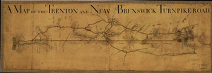
A Map of the Trenton and New-Brunswick Turnpike-road
39.
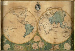
A map of the world
40.
Map of the world
41.
Mapa de las locaciones del Distrito de la Na Feliciana
42.
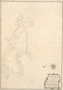
Mapa de las locaciones del Distrito de Manchack
43.
Marathon, Wis.
44.
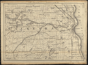
Milwaukee County and Waukesha County, Wis.
45.
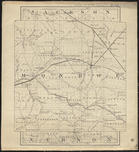
Monroe County, Wis.
46.
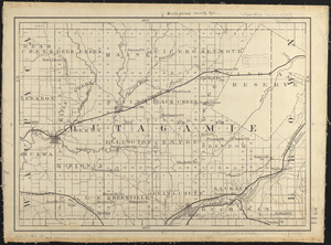
Outagamie County, Wis.
47.
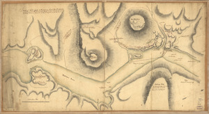
Part of a map of the Hudson Highlands showing Forts Clinton and Montgomery
48.
Pepin County, Wis.
49.
Pierce County, Wis.
50.
Plan des ouvrages faits à York-town en Virginie
51.
Plan of Clinton Company's property, "Sawyer's Mills" Boylston, Mass.
52.
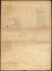
Plan of Gregory Farm in Weston
53.
Plan of Nashua River from Lancaster Mills to S. Harris
54.
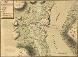
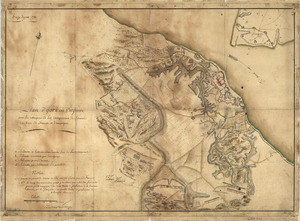
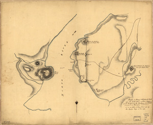
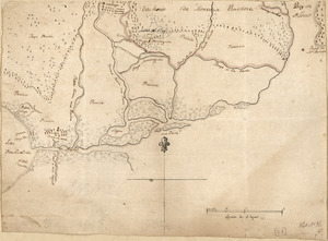
Plan of the attack of Fort Clinton and Montgomery which where [sic] stormed by His Majesty's forces : under the command of Sr....
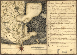
55.
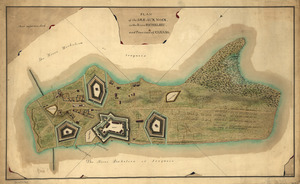
A plan of the Forts Montgomery & Clinton : as taken by His Majesty's forces under the command of Genl. Sr. Henry Clinton the...
56.
Plan of the Isle aux Noix, in the River Richelieu, and Province of Canada
57.
Plano de la Baía de Guantánamo, en la ysla de Cuva, cuya boca se alla en latitud N. 20 gs. y en la longitd. de Thenerife 301...
58.
Polk County, Wis.
59.
Portage County, Wis.
60.
Portion of a map of Feliciana District, Spanish Louisiana, from the Lac de la Croix to Thompson's Creek
61.
Portolan atlas
62.
Position du camp de l'armée combinée a Philipsburg du 6 juillet au 19 aoust
63.
Proposed public park and routes leading thereto
64.
Racine & Kenosha Counties, Wis.
65.
Richland County, Wis.
66.
Sauk County, Wis.
67.
Sheboygan County, Wis.
68.
Siege d'York, 1781 : Plan d'York en Virginie avec les attaques et les campemens de l'Armée combinée de France et d'Amérique
69.
Sketch of Forts Clinton & Montgomery : stormed the 6th Octob. 1777 by the troops under the command of Sir Henry Clinton, K.B.,...
70.
Sketch of Stoney & Verplank's Points upon the North River : as taken possession of, and fortified by His Excellency Sir H:...
71.
Sketch of the harbour of Charles Town
72.
St. Croix County, Wis.
73.
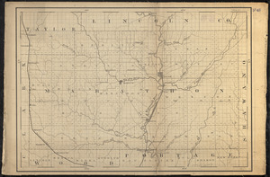
Taylor County, Wis.
74.
Trempaleau County, Wis.
75.
United States
76.
Vernon County, Wis.
77.
Walworth County, Wis.
78.
Washington & Ozaukee Counties, Wis.
79.
Waupaca County, Wis.
80.
Waushara, Marquette, and Green Lake Counties, Wis.
81.
Winnebago County, Wis.
82.
Wood County, Wis.
83.
The world
84.
The world with all the modern discoveries
85.
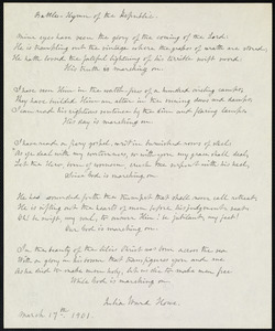
Battle hymn of the republic
86.
Circular world map
87.
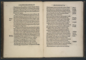
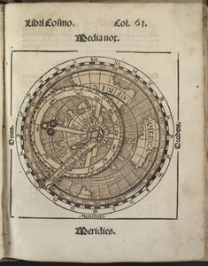
Cosmographiae introductio
88.
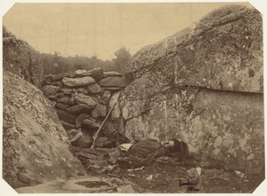
Dead rebel sharpshooter at Gettysburg
89.
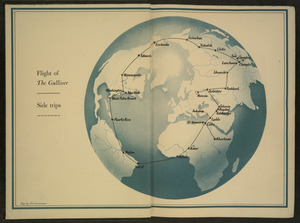
Flight of "The Gulliver"
90.
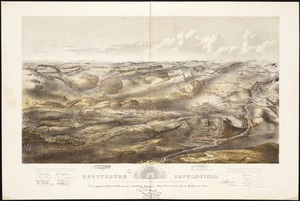
Gettysburg battle-field : Battle fought at Gettysburg, Pa., July 1st, 2d & 3d, 1863 by the Federal and Confederate armies,...
91.
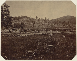
Little Round Top, Gettysburg, July 1863
92.
Map of American camp in New Jersey and surrounding countryside
93.
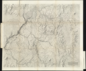
Map of explorations and surveys in New Mexico and Utah made under the direction of the Secretary of War by Capt. J. N. Macomb...
94.
A map of New-England, being the first that ever was here cut, and done by the best pattern that could be had, which being in...
95.
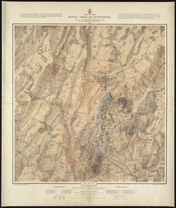
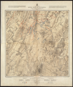
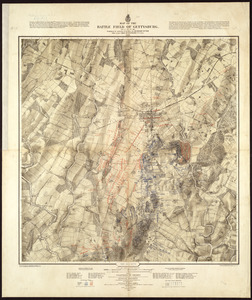
Map of the battle field of Gettysburg, July 1st, 2nd, 3rd, 1863 : Second day's battle
96.
Map of the battle field of Gettysburg, July 1st, 2nd, 3rd, 1863 : First day's battle
97.
Map of the battle field of Gettysburg, July 1st, 2nd, 3rd, 1863 : Third day's battle
98.
Small circular world map
99.
The south part of New England as it planted this yeare, 1634
100.
Survey plat of land grants on Caps River, Saint Domingue
‹ Prev
Next ›
1
2


![Armstrong C[ount]y](https://bpldcassets.blob.core.windows.net/derivatives/images/commonwealth:q524ng353/image_thumbnail_300.jpg)


![Plan of the attack of Fort Clinton and Montgomery which where [sic] stormed by His Majesty's forces](https://bpldcassets.blob.core.windows.net/derivatives/images/commonwealth:q524nj90k/image_thumbnail_300.jpg)