Toggle navigation
LMEC Home
Exhibitions
Georeferencing
Tools for Teachers
Collections
My Favorites
Sign Up / Log In
Search
Search the map portal
Map Collection
Map Collection
Map Sets
Search
Search
Search for
Search In
All Fields
Creator
Title
Subject
Place
Search All Digital Collections
Advanced Search
8175 Results
My Search
Start Over
More Like
commonwealth:js956m23t
Remove constraint More Like: commonwealth:js956m23t
Filter your Search
Place
North and Central America
4,924
United States
3,756
Suffolk (county)
1,038
Boston
1,011
Europe
963
Canada
427
Massachusetts
294
France
269
more
Place
»
Topic
Boston (Mass.)--Maps
574
United States--Maps
270
Real property--Massachusetts--Boston--Maps
176
Massachusetts--Maps
160
Landowners--Massachusetts--Boston--Maps
134
North America--Maps--Early works to 1800
103
New England--Maps
99
Europe--Maps
78
more
Topic
»
Date
Date range begin
–
Date range end
Current results range from
1482
to
2023
View distribution
Creator
United States. Hydrographic Office
357
O.H. Bailey & Co
148
Des Barres, Joseph F. W. (Joseph Frederick Wallet), 1722-1824
123
United States. Post Office Dept
120
Ptolemy, 2nd cent
100
Walling, Henry Francis, 1825-1888
94
Jefferys, Thomas, -1771
84
Geological Survey (U.S.)
82
more
Creator
»
Format
Maps/Atlases
8,116
Manuscripts
215
Prints
51
Books
36
Objects/Artifacts
10
Drawings/Illustrations
8
Posters
4
Georeferenced
Yes
869
No
7,306
Collection
Norman B. Leventhal Map Center Collection
8,162
Boston and New England Maps
2,194
Urban Maps
1,935
Maritime Charts and Atlases
750
American Revolutionary War-Era Maps
616
Boston Redevelopment Authority Collection
97
Massachusetts Real Estate Atlases
2
Available to use
No known restrictions
8,032
Creative Commons license
46
Search Constraints
Sort by relevance
relevance
title
date (asc)
date (desc)
Number of results to display per page
50 per page
10
per page
20
per page
50
per page
100
per page
View results as:
grid view
map view
Search Results
1.
Atlas of the city of Boston : Charlestown and East Boston : from actual surveys and official plans
2.
Atlas of the city of Boston : Charlestown and East Boston : from actual surveys and official plans
3.
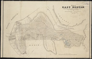
Atlas of the city of Boston : East Boston : from actual surveys and official plans
4.
Atlas of the city of Boston : East Boston, Mass. : volume nine : from actual surveys and official plans
5.
Atlas of the city of Boston : South & East Boston : volume four
6.
Atlas of the county of Suffolk, Massachusetts : vol. 4th including East Boston, city of Chelsea, Revere and Winthrop : from...
7.
East Boston flood risk
8.
Insurance map of Boston : volume 2
9.
Insurance map of Boston : volume 2
10.
Insurance map of Boston vol. 3 (South & East Boston)
11.
A plan of a survey of Noddles Island
12.
Plan of Boston Land Co's land in Boston & Revere
13.
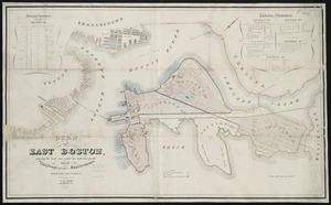
Plan of East Boston : shewing the location of a mill dam and other improvements
14.
Plan of East Boston : exhibiting the land & water lots and other improvements
15.
Plan of East Boston
16.
Plan of East Boston showing the land and water lots sold and unsold : also all buildings and other improvements
17.
Plan of East Boston showing the land and water lots sold and unsold, also all buildings and other improvements
18.
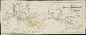
Plan of estate of the Boston Land Co. and surroundings
19.
Plan of property of the National Dock & Warehouse Co. East Boston
20.
Plan of sections of 1, 2 & 3, East Boston
21.
Preliminary plan for Wood Island Park, East Boston
22.
West Wood Island Park, East Boston district
23.
Atlas of the city of Boston : East Boston
24.
Atlas of the county of Suffolk, Massachusetts, vol. 4 : including East Boston, city of Chelsea, Revere and Winthrop
25.
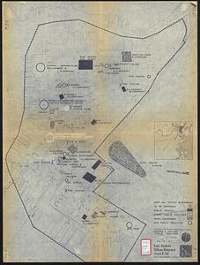
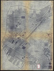
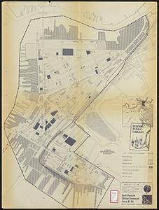
East Boston urban renewal area r-44 : existing & proposed public facilities
26.
East Boston urban renewal area r-44 : proposed circulation
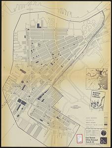
27.
East Boston urban renewal area r-44 : existing circulation
28.
East Boston urban renewal area r-44 : proposed land use
29.
East Boston urban renewal area r-44 : existing land use
30.
East Boston urban renewal area r-44 : building conditions
31.
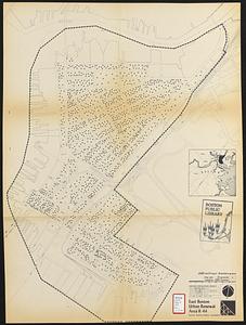
East Boston urban renewal area r-44 : existing population density
32.
East Boston urban renewal area r-44 : proposed treatment title I project
33.
East Boston urban renewal area r-44 : existing zoning
34.
East Boston urban renewal area r-44 : proposed zoning
35.
Zoning districts city of Boston map 3 East Boston
36.
The 100th anniversary map of Abraham Lincoln's visit to Massachusetts, September 11-23, 1848
37.
1630 shoreline
38.
1879. Progress map of the U.S. Geographical Surveys west of the 100th Meridian : prepared under the direction of 1st Lieut....
39.
1903 Map of Salem and surrounding places
40.
19th annual convention of the National Association of Real Estate Boards : at Tulsa, June 7 to June 11 in 1926
41.
2005 significant U.S. hurricane strikes
42.
The 2100 project : an atlas for the Green New Deal
43.
227 Harzgerode
44.
305 Glatz
45.
38,000,000 escaped -- 10,000,000 died
46.
4 Kinten
47.
660 Wakulah St., Roxbury
48.
[A chart of Boston Bay and vicinity]
49.
[A chart of New York Island & North River : East River, passage through Hell Gate, Flushing Bay, Hampstead Bay, Oyster,...
50.
The A.A.A. key road map of continental Europe
‹ Prev
Next ›
1
2
3
4
5
…
163
164


![[A chart of Boston Bay and vicinity]](https://bpldcassets.blob.core.windows.net/derivatives/images/commonwealth:cj82m2976/image_thumbnail_300.jpg)

