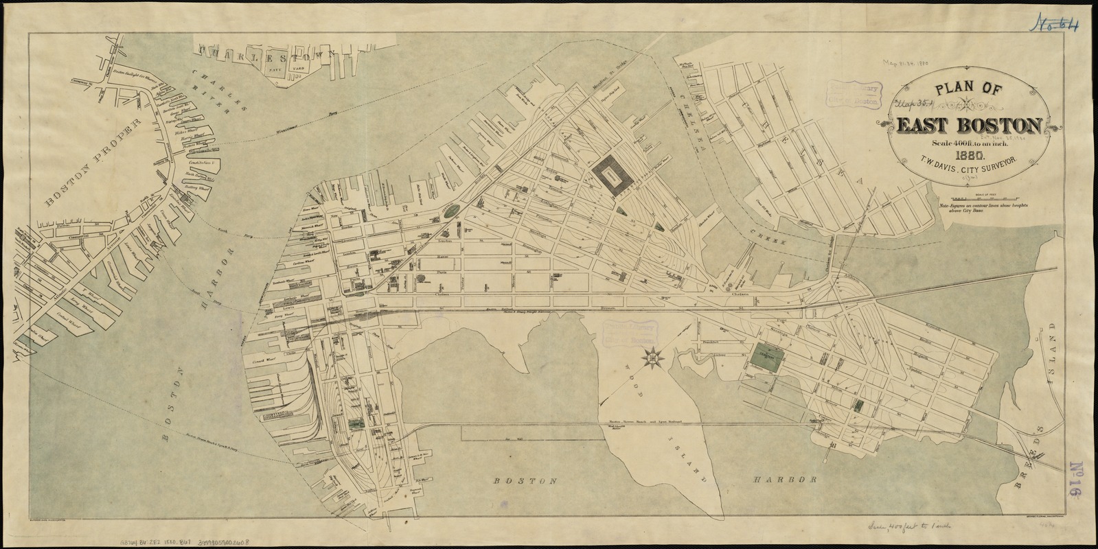
Plan of East Boston
Item Information
- Title:
- Plan of East Boston
- Creator:
- Boston (Mass.). City surveyor
- Name on Item:
-
T.W. Davis, city surveyor.
- Date:
-
[1880]
- Format:
-
Maps/Atlases
- Location:
-
Boston Public Library
Norman B. Leventhal Map & Education Center - Collection (local):
-
Norman B. Leventhal Map & Education Center Collection
- Subjects:
-
East Boston (Boston, Mass.)--Maps
- Places:
-
MassachusettsSuffolk (county)BostonEast Boston
- Extent:
- 1 plan : col. ; 48 x 105 cm.
- Terms of Use:
-
No known copyright restrictions.
No known restrictions on use.
- Publisher:
-
Boston, Mass :
Engineering Dept.
- Scale:
-
Scale, 1:4,800.
- Language:
-
English
- Notes:
-
Oriented with north toward the upper right.
Relief shown by form lines.
"George F. Loring, draughtsman."
"Bufford's photo process, Boston."
- Notes (date):
-
This date is inferred.
- Identifier:
-
06_01_003894
- Call #:
-
G3764.B6:2E2 1880 .B67
- Barcode:
-
39999059002608


