Toggle navigation
LMEC Home
Exhibitions
Georeferencing
Tools for Teachers
Collections
My Favorites
Sign Up / Log In
Search
Search the map portal
Map Collection
Map Collection
Map Sets
Search
Search
Search for
Search In
All Fields
Creator
Title
Subject
Place
Search All Digital Collections
Advanced Search
149 Results
My Search
Start Over
More Like
commonwealth:d217wr30c
Remove constraint More Like: commonwealth:d217wr30c
Filter your Search
Place
North and Central America
138
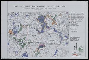
United States
134
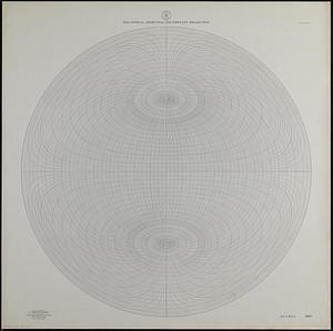
Massachusetts
114
Middlesex (county)
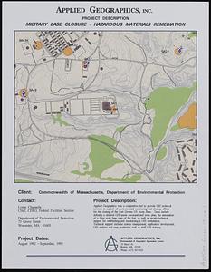
17
Norfolk (county)
10
Bristol (county)
9
Dedham
8
Plymouth (county)
8
more
Place
»
Topic
Massachusetts--Maps
20
Dedham (Mass.)--Maps
9
Newton (Mass.)--Maps
5
Election districts--Massachusetts--Maps
4
Land use--Massachusetts--Maps
4
Massachusetts--Administrative and political divisions--Election districts--Maps
4
Massachusetts--Photomaps--Indexes
4
Taunton (Mass.)--Maps
4
more
Topic
»
Date
Date range begin
–
Date range end
Current results range from
1851
to
2010
View distribution
Creator
Applied Geographics, Inc.
60
MassGIS (Office : Mass.)
56
Massachusetts. Executive Office of Environmental Affairs
32
Geological Survey (U.S.)
10
Massachusetts Bays Program
8
Massachusetts Coastal Zone Management Office
8
National Ocean Survey
6
Massachusetts. Department of Environmental Protection
4
more
Creator
»
Format
Maps/Atlases
148
Ephemera
1
Georeferenced
No
149
Collection
Norman B. Leventhal Map & Education Center Collection
148
Applied Geographics, Inc. Records
143
Boston and New England Maps
118
Urban Maps
30
Maritime Charts and Atlases
17
Massachusetts Real Estate Atlases
1
Available to use
No known restrictions
148
Search Constraints
Sort by relevance
relevance
title
date (asc)
date (desc)
Number of results to display per page
20 per page
10
per page
20
per page
50
per page
100
per page
View results as:
grid view
map view
Search Results
21.
City of Boston planimetric survey sheet no. 23I
22.
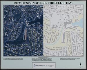
City of Springfield
23.
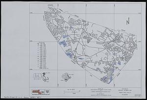
City of Waltham, Massachusetts [assessors atlas]
24.
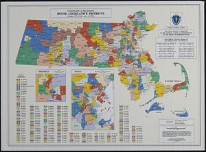
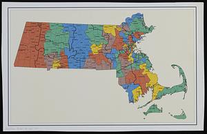
Commonwealth of Massachusetts House legislative districts : (Chapter 273 of the Acts of 1993)
25.
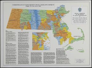
Commonwealth of Massachusetts Senate legislative districts : (Chapter 274 of the Acts of 1993)
26.
Cromeset Neck
27.
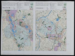
DEP water supply contamination correction program underground storage tank locations compared to natural resource data
28.
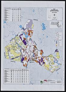
Developable lands and partial constraints : town of Taunton
29.
DFWELE land showing 1985-1990 acquisitions
30.
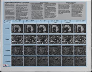
Digital orthography checkplots : a comparison of digital imagery resolution and file format
31.
Dorchester Bay
32.
Draft of a map of 1993 Massachusetts Senate legislative districts
33.
Eastern encephalitis risk area
34.
EOEA land management planning process project area : a cooperative planning project between MDC, DFWELE, DEM, & DFA
35.
EOEA wide area network
36.
Equatorial azimuthal equidistant projection
37.
Executive Office of Environmental Affairs location of offices
38.
Facsimile general highway map urban area series Peabody
39.
Fort Devens military base closure hazardous material remediation project
40.
Geologic map of Mars
‹ Prev
Next ›
1
2
3
4
5
6
7
8

![City of Waltham, Massachusetts [assessors atlas]](https://bpldcassets.blob.core.windows.net/derivatives/images/commonwealth:cj82r8418/image_thumbnail_300.jpg)