Facsimile general highway map urban area series Peabody
Item Information
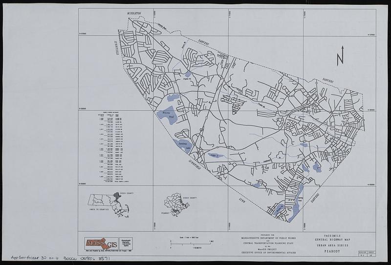
- Title:
- Facsimile general highway map urban area series Peabody
- Cartographer:
- MassGIS (Office : Mass.)
- Contributor:
- Massachusetts. Department of Public Works
- Name on Item:
-
prepared for Massachusetts Department of Public Works and Central Transportation Planning Staff by the MassGIS Project Executive Office of Environmental Affairs
- Date:
-
1988
- Format:
-
Maps/Atlases
- Location:
-
Boston Public Library
Norman B. Leventhal Map & Education Center - Collection (local):
-
Applied Geographics, Inc. Records
- Subjects:
-
Peabody (Mass.)--Maps
Roads--Massachusetts--Peabody--Maps
- Places:
-
MassachusettsEssex (county)Peabody
- Extent:
- 1 map : color ; 27 x 33 cm
- Terms of Use:
-
No known copyright restrictions.
No known restrictions on use.
- Publisher:
-
Massachusetts :
MassGIS
- Scale:
-
Scale approximately 1:37,500
- Language:
-
English
- Notes:
-
Insets: Index to counties -- [Location of Peabody in Essex County].
Includes sample roads database.
- Identifier:
-
06_01_019043
- Call #:
-
AppGeo Folder 30 no. 6
- Barcode:
-
30000008063571