Toggle navigation
LMEC Home
Exhibitions
Georeferencing
Tools for Teachers
Collections
My Favorites
Sign Up / Log In
Search
Search the map portal
Map Collection
Map Collection
Map Sets
Search
Search
Search for
Search In
All Fields
Creator
Title
Subject
Place
Search All Digital Collections
Advanced Search
8720 Results
My Search
Start Over
More Like
commonwealth:cj82kn462
Remove constraint More Like: commonwealth:cj82kn462
Filter your Search
Place
North and Central America
5,951
United States
4,869
Massachusetts
2,083
Europe
1,396
Suffolk (county)
1,048
Boston
1,021
Canada
456
Asia
438
more
Place
»
Topic
Boston (Mass.)--Maps
588
United States--Maps
282
Real property--Massachusetts--Boston--Maps
175
Massachusetts--Maps
164
Landowners--Massachusetts--Boston--Maps
133
New England--Maps
127
North America--Maps--Early works to 1800
103
Europe--Maps
79
more
Topic
»
Date
Date range begin
–
Date range end
Current results range from
1482
to
2023
View distribution
Creator
United States. Hydrographic Office
595
O.H. Bailey & Co
148
Des Barres, Joseph F. W. (Joseph Frederick Wallet), 1722-1824
123
United States. Post Office Dept
120
Ptolemy, 2nd cent
100
Walling, Henry Francis, 1825-1888
94
Geological Survey (U.S.)
86
Jefferys, Thomas, -1771
86
more
Creator
»
Format
Maps/Atlases
8,660
Manuscripts
215
Prints
56
Books
36
Objects/Artifacts
10
Drawings/Illustrations
8
Posters
5
Georeferenced
Yes
871
No
7,849
Collection
Norman B. Leventhal Map & Education Center Collection
8,698
Boston and New England Maps
2,238
Urban Maps
2,023
Maritime Charts and Atlases
1,083
American Revolutionary War-Era Maps
633
Boston Redevelopment Authority Collection
87
American Antiquarian Society Collection
9
David Judkins Weaver Papers
4
more
Collection
»
Available to use
No known restrictions
8,556
Creative Commons license
50
Search Constraints
Sort by relevance
relevance
title
date (asc)
date (desc)
Number of results to display per page
20 per page
10
per page
20
per page
50
per page
100
per page
View results as:
grid view
map view
Search Results
6041.
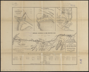
Plan de l'isthme de Suez, de Port-Said, Ismailia et Suez pour servir d'annexe au guide général d'Egypte
6042.
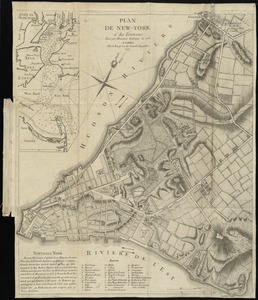
Plan de New-York et des environs
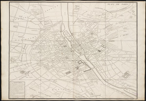
6043.
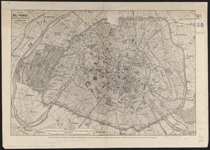
Plan de Paris
6044.
Plan de Paris : commencé l'année 1734
6045.
Plan de Paris avec les projets de percements, et d'embellissements exécutés et a exécuter
6046.
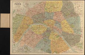
Plan de Paris divisé en 20 arrondissements et 80 quartiers
6047.
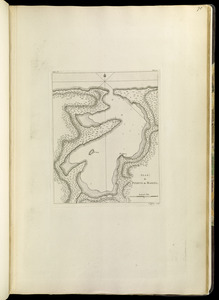
Plan de Puerto de Mariel
6048.
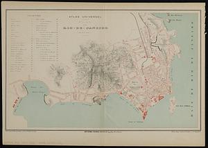
Plan de Rio-de-Janeiro (Bresil)
6049.
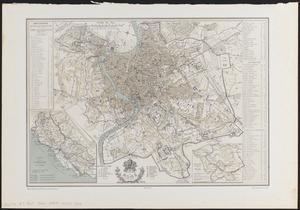
Plan de Rome
6050.
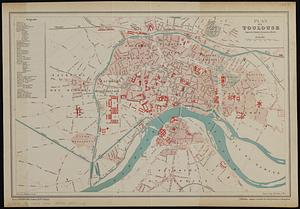
Plan de Toulouse d'apres les derniers documents officiels
6051.
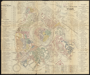
Plan der k.k. haupt- und residenzstadt Wien
6052.
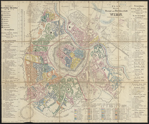
Plan der k.k. haupt- und residenzstadt Wien
6053.
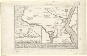
Plan der landung der Gebrüdere Howe, bey dem ausfluss des Elk Strom ...Lords Cornwallis
6054.
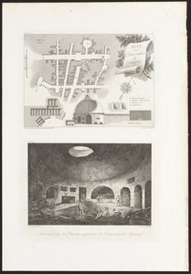
Plan des catacombes de Syracuse ; intérieur d'une des chambres sépulcrales des catacombes
6055.
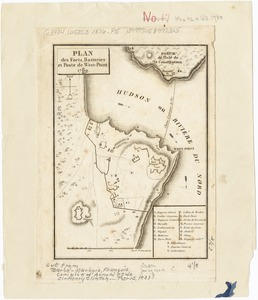
Plan des forts, batteries et poste de West-Point, 1780
6056.
Plan des paroisses de Paris : avec la distinction des parties eparses qui de dépendent
6057.
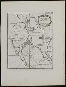
Plan des ports et ville d'Alexandrie
6058.
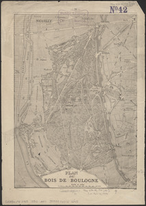
Plan du Bois de Boulogne
6059.
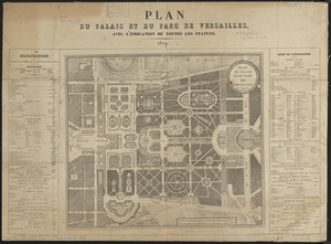
Plan du palais et du parc de Versailles
6060.
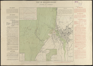
Plan du port et de la ville de Boulogne
‹ Prev
Next ›
1
2
…
299
300
301
302
303
304
305
306
307
…
435
436