Toggle navigation
LMEC Home
Exhibitions
Georeferencing
Tools for Teachers
Collections
My Favorites
Sign Up / Log In
Search
Search the map portal
Map Collection
Map Collection
Map Sets
Search
Search
Search for
Search In
All Fields
Creator
Title
Subject
Place
Search All Digital Collections
Advanced Search
194 Results
My Search
Start Over
More Like
commonwealth:bk12fb804
Remove constraint More Like: commonwealth:bk12fb804
Filter your Search
Place
North and Central America
183
United States
170
Massachusetts
109
Maine
53
Middlesex (county)
17
Bristol (county)
9
Canada
8
Plymouth (county)
8
more
Place
»
Topic
Maine--Maps
53
Massachusetts--Maps
19
New Hampshire--Maps
7
Railroads--Maine--Maps
5
Vermont--Maps
5
Canada--Boundaries--United States--Maps
4
Counties--Maine--Maps
4
Dedham (Mass.)--Maps
4
more
Topic
»
Date
Date range begin
–
Date range end
Current results range from
1754
to
2010
View distribution
Creator
Applied Geographics, Inc.
61
MassGIS (Office : Mass.)
56
Massachusetts. Executive Office of Environmental Affairs
32
Geological Survey (U.S.)
10
Massachusetts Bays Program
8
Massachusetts Coastal Zone Management Office
8
Carleton, Osgood, 1742-1816
7
National Ocean Survey
6
more
Creator
»
Format
Maps/Atlases
193
Manuscripts
3
Ephemera
1
Objects/Artifacts
1
Georeferenced
Yes
3
No
191
Collection
Norman B. Leventhal Map & Education Center Collection
176
Applied Geographics, Inc. Records
143
Boston and New England Maps
143
Urban Maps
28
Maritime Charts and Atlases
17
American Revolutionary War-Era Maps
16
American Antiquarian Society Collection
8
William L. Clements Library Collection
6
more
Collection
»
Available to use
No known restrictions
176
Creative Commons license
1
Search Constraints
Sort by relevance
relevance
title
date (asc)
date (desc)
Number of results to display per page
20 per page
10
per page
20
per page
50
per page
100
per page
View results as:
grid view
map view
Search Results
161.
Town of Amherst, Massachusetts build out analysis - future growth study : protected lands, developable lands & new development...
162.
Town of Berkley, Massachusetts [property atlas]
163.
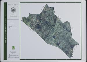
Town of Dedham, Norfolk County, Massachusetts
164.
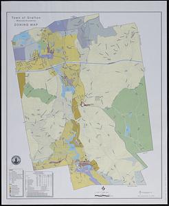
Town of Grafton, Massachusetts, zoning map
165.
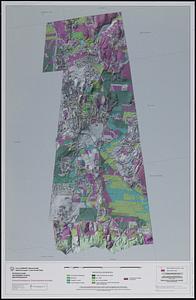
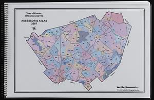
Town of Lincoln, Massachusetts assessor's atlas
166.
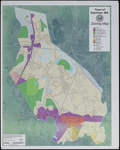
Town of North Attleborough Bristol County, Massachusetts : street map
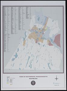
167.
Town of Norton, Massachusetts [property atlas]
168.
Town of Plymouth [land development planning]
169.
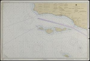
Town of Plymouth [land development planning]
170.
Town of Raynham, MA zoning map
171.
Town of Southbridge, Massachusetts : street map index
172.
Town of Taunton [land development planning]
173.
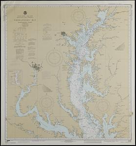
United States--east coast, Maryland and Virginia, Chesapeake Bay, northern part
174.
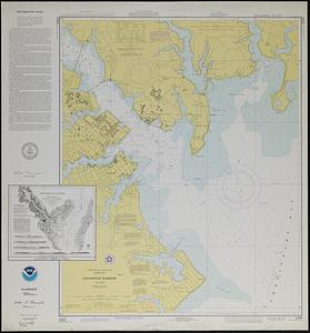
United States--east coast, Maryland, Annapolis Harbor
175.
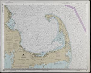
United States--east coast, Massachusetts, Cape Cod Bay
176.
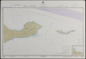
United States--west coast, California, Anacapa Passage
177.
United States--west coast, California, Point Dume to Purisima Point
178.
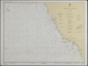
United States--west coast, California, San Diego to Cape Mendocino
179.
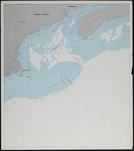
U.S. and Canadian maritime boundary claims off of the Atlantic coast
180.
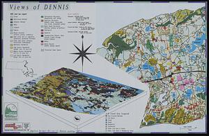
Views of Dennis
‹ Prev
Next ›
1
2
…
5
6
7
8
9
10
![Town of Berkley, Massachusetts [property atlas]](https://bpldcassets.blob.core.windows.net/derivatives/images/commonwealth:bk12fb77t/image_thumbnail_300.jpg)

![Town of Norton, Massachusetts [property atlas]](https://bpldcassets.blob.core.windows.net/derivatives/images/commonwealth:3x81cp972/image_thumbnail_300.jpg)
![Town of Plymouth [land development planning]](https://bpldcassets.blob.core.windows.net/derivatives/images/commonwealth:tt44v120f/image_thumbnail_300.jpg)
![Town of Plymouth [land development planning]](https://bpldcassets.blob.core.windows.net/derivatives/images/commonwealth:wh24cv585/image_thumbnail_300.jpg)
![Town of Taunton [land development planning]](https://bpldcassets.blob.core.windows.net/derivatives/images/commonwealth:2b88wd603/image_thumbnail_300.jpg)