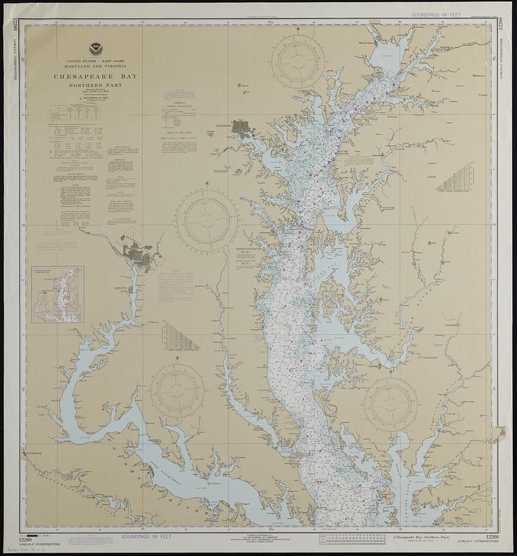
United States--east coast, Maryland and Virginia, Chesapeake Bay, northern part
Item Information
- Title:
- United States--east coast, Maryland and Virginia, Chesapeake Bay, northern part
- Cartographer:
- National Ocean Survey
- Name on Item:
-
National Ocean Survey
- Date:
-
1981
- Format:
-
Maps/Atlases
- Genre:
-
Nautical charts
- Location:
-
Boston Public Library
Norman B. Leventhal Map & Education Center - Collection (local):
-
Applied Geographics, Inc. Records
- Subjects:
-
Chesapeake Bay (Md. and Va.)--Navigation
- Places:
-
Chesapeake Bay
- Extent:
- 1 map : color ; 85 x 83 cm
- Terms of Use:
-
No known copyright restrictions.
No known restrictions on use.
- Publisher:
-
Washington, D.C. :
U.S. Department of Commerce, National Oceanic and Atmospheric Administration, National Ocean Survey
- Edition:
- 23rd ed., July 11/81.
- Scale:
-
Scale 1:197,250 at lat. 39°00'
- Projection:
- Mercator projection
- Language:
-
English
- Notes:
-
"LORAN-C overprinted."
Depths shown by isolines and soundings.
"Soundings in feet."
Includes tidal information and index to next larger scale charts.
"12260."
- Identifier:
-
06_01_019096
- Call #:
-
AppGeo Folder 33 no.10


