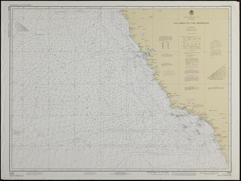
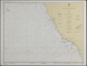
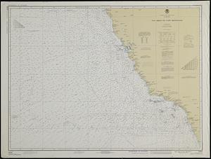
United States--west coast, California, San Diego to Cape Mendocino
Item Information
- Title:
- United States--west coast, California, San Diego to Cape Mendocino
- Cartographer:
- National Ocean Survey
- Name on Item:
-
National Ocean Survey
- Date:
-
1978
- Format:
-
Maps/Atlases
- Genre:
-
Nautical charts
Digital maps
- Location:
-
Boston Public Library
Norman B. Leventhal Map & Education Center - Collection (local):
-
Applied Geographics, Inc. Records
- Subjects:
-
Pacific Coast (Calif.)--Maps
North Pacific Ocean--Navigation
- Places:
-
California
- Extent:
- 2 maps on 1 sheet : both sides, color ; 75 x 101 cm on sheet 84 x 112 cm
- Terms of Use:
-
No known copyright restrictions.
No known restrictions on use.
- Publisher:
-
Washington, D.C. :
U.S. Department of Commerce, National Oceanic and Atmospheric Administration, National Ocean Survey
- Edition:
- 27th ed. Apr. 15/78.
- Scale:
-
Scale 1:1,444,000 at lat. 38°
- Projection:
- Mercator projection
- Language:
-
English
- Table of Contents:
-
LORAN-A overprinted
LORAN-C overprinted.
- Notes:
-
Depths shown by isolines and soundings.
Relief shown by hachures and spot heights.
Includes notes
- Identifier:
-
06_01_019099
- Call #:
-
AppGeo Folder 33 no.13