Toggle navigation
LMEC Home
Exhibitions
Georeferencing
Tools for Teachers
Collections
My Favorites
Sign Up / Log In
Search
Search the map portal
Map Collection
Map Collection
Map Sets
Search
Search
Search for
Search In
All Fields
Creator
Title
Subject
Place
Search All Digital Collections
Advanced Search
67 Results
My Search
Start Over
More Like
commonwealth:7w62j777r
Remove constraint More Like: commonwealth:7w62j777r
Filter your Search
Place
Canada
50
North and Central America
50
New France
24
Nova Scotia
15
Saint Lawrence River
13
Cape Breton Island
10
Louisbourg
9
Quebec
8
more
Place
»
Topic
New France--Maps
24
Seven Years' War, 1756-1763--Campaigns--Canada--Maps
20
Saint Lawrence River--Maps
14
Cape Breton Island (N.S.)--Maps--Early works to 1800
10
Canada--Maps--Early works to 1800
8
Fortification--Québec (Province)
8
Québec (Québec)--Maps
7
Louisbourg (N.S.)--History--Siege, 1758--Maps
6
more
Topic
»
Date
Date range begin
–
Date range end
Current results range from
1697
to
1899
View distribution
Creator
Bellin, Jacques Nicolas, 1703-1772
8
Mackellar, Patrick, 1717-1778
7
Holland, Samuel, 1728-1801
6
Montrésor, John, 1736-1799
5
Collins, John, -1795
3
Des Barres, Joseph F. W. (Joseph Frederick Wallet), 1722-1824
3
Duberger, Jean-Baptiste, 1767-1821
3
Gale, Samuel, 1747-1826
3
more
Creator
»
Format
Maps/Atlases
67
Manuscripts
2
Georeferenced
No
67
Collection
American Revolutionary War-Era Maps
65
Library and Archives Canada Collection
52
Norman B. Leventhal Map & Education Center Collection
8
William L. Clements Library Collection
5
Maritime Charts and Atlases
4
Newberry Library Collection
1
Richard H. Brown Revolutionary War Map Collection at Mount Vernon
1
Available to use
No known restrictions
8
Creative Commons license
1
Search Constraints
Sort by relevance
relevance
title
date (asc)
date (desc)
Number of results to display per page
20 per page
10
per page
20
per page
50
per page
100
per page
View results as:
grid view
map view
Search Results
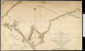
41.
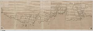
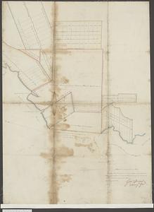
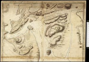
[Sketch of the region of the island of Cape Breton, between the parallels of forty-five and forty-eight degrees of latitude]
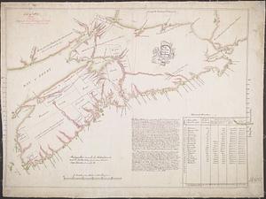
42.
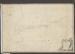
The south east coast of Cape Breton Island
43.
By order of His Excellency Guy Lord Dorchester... plan of part of the province of Lower Canada containing the country from the...
44.
A chart of the sea-coast of Newfoundland between St. Laurence and Point May survey'd by order of Hugh Palliser esqr. commodore...
45.
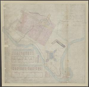
Fortifications on île aux Noix, Québec
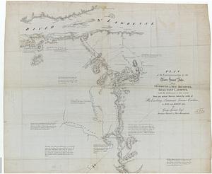
46.
A general plan of Annapolis Royal
47.
Isle aux Noix
48.
A map of part of Canada for the use of His Majesty's Secretary of State, compiled in the Surveyor Generals Office, pursuant to...
49.
Map showing land grants to the east of St. John
50.
Plan des terres de Abénaquis et Sokokis du village St-Francois situé dans le comté Buckinghamshire, district des Trois-Rivières...
51.
A plan of a new road in the parish of Dechambault
52.
Plan of old fort Frontenac and town plot of Kingston
53.
A plan of part of the province of New Brunswick, with the adjacent parts of the province of Lower Canada, and the territory of...
54.
Plan of part of the Province of Nova Scotia or Accadie
55.
Plan of part of the River Mississippi, from the River Yassous to the River Ibberville, shewing the lands granted thereon
56.
A plan of that part of the province of Lower Canada, lying between the rivers Saint Lawrence, Richelieu & the province line
57.
Plan of the city and harbour of St. John in the Province of New Brunswick with a project for its defence, and shewing the...
58.
Plan of the communications by the River Saint John, from Fredericton in New Brunswick to the River Saint Lawrence : with the...
59.
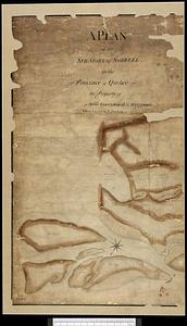
A plan of the seigniory of Sorrell in the province of Quebec the property of Messr Greenswood & Higginson, merchants in London
60.
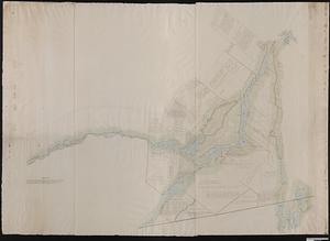
Plan of the west part of the province of Lower Canada from the R.r Sorel upwards, as far as any survey's hitherto been made
‹ Prev
Next ›
1
2
3
4
![[Sketch of the region of the island of Cape Breton, between the parallels of forty-five and forty-eight degrees of latitude]](https://bpldcassets.blob.core.windows.net/derivatives/images/commonwealth:4m90fh38k/image_thumbnail_300.jpg)