Search Constraints
Search Results

6085. North Italy
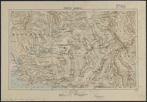
6086. North Korea
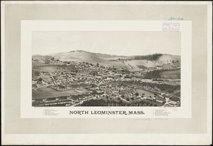
6087. North Leominster, Mass
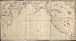
6088. North Pacific
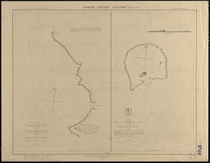
6089. North Pacific islands

6090. North Pacific Islands
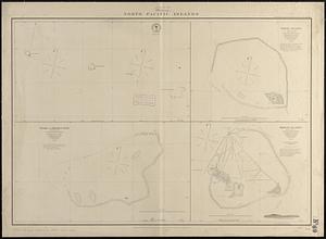
6091. North Pacific islands
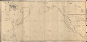
6092. North Pacific Ocean