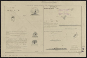
North Pacific Ocean, Japan, examination of the islands and dangers south of Fatsizio Sima
Item Information
- Title:
- North Pacific Ocean, Japan, examination of the islands and dangers south of Fatsizio Sima
- Title (alt.):
-
Examination of the islands and dangers south of Fatsizio Sima
- Issuing body:
- United States. Hydrographic Office
- Name on Item:
-
by the officers of the U.S. Ship "Alert," Cdr. C.L. Huntington, U.S.N. cdg. June & July 1880
- Date:
-
1880
- Format:
-
Maps/Atlases
- Genre:
-
Nautical charts
- Location:
-
Boston Public Library
Norman B. Leventhal Map & Education Center - Collection (local):
-
Norman B. Leventhal Map & Education Center Collection
- Subjects:
-
Tori Island (Japan)--Maps
North Iwo Jima (Volcano Islands, Japan)--Maps
Izu Islands (Japan)--Maps
Izu Islands (Japan)--Pictorial works
Nautical charts--Japan--Tori Island
Nautical charts--Japan--North Iwo Jima (Volcano Islands)
Nautical charts--Japan--Izu Islands
- Places:
-
JapanKitaiō Jima (island)
JapanIzu Shotō (island)
Tori Shima
- Extent:
- 3 maps on 1 sheet ; 35 x 50 cm
- Terms of Use:
-
No known copyright restrictions.
No known restrictions on use.
- Publisher:
-
Washington, D.C. :
Hydrographic Office
- Scale:
-
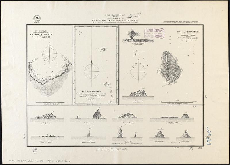
Scale approximately 1:2,300
Scale approximately 1:41,900
Scale approximately 1:735,000
- Language:
-
English
- Table of Contents:
-
Junk Cove on the north side of Ponafidin Island
Volcano Islands
San Alessandro and submarine volcano
- Notes:
-
Relief shown by hachures and spot heights. Depths shown by soundings.
Includes 11 coastal views of islands.
- Identifier:
-
06_01_017549
- Call #:
-
G9096.P5 svar .U55 no. 881
- Barcode:
-
39999085959722