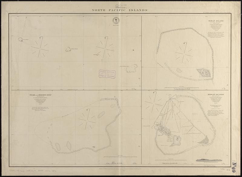
North Pacific islands
Item Information
- Title:
- North Pacific islands
- Issuing body:
- United States. Hydrographic Office
- Engraver:
- McClelland, D.
- Name on Item:
-
eng. by D. McClelland
- Date:
-
1868
- Format:
-
Maps/Atlases
- Genre:
-
Nautical charts
- Location:
-
Boston Public Library
Norman B. Leventhal Map & Education Center - Collection (local):
-
Norman B. Leventhal Map & Education Center Collection
- Subjects:
-
Kure Island (Hawaii)--Maps
Pearl and Hermes Reef (Hawaii)--Maps
Midway Islands--Maps
Nautical charts--Hawaii--Kure Island
Nautical charts--Hawaii--Pearl and Hermes Reef
Nautical charts--Midway Islands
- Places:
-
HawaiiHawaii (county)Kure Atoll (island)
HawaiiHawaii (county)Pearl and Hermes Atoll (island)
Midway Islands (possession)
- Extent:
- 4 maps on 1 sheet ; 52 x 76 cm
- Terms of Use:
-
No known copyright restrictions.
No known restrictions on use.
- Publisher:
-
Washington, D.C. :
Hydrographic Office
- Scale:
-
Scale approximately 1:47,600
Scale approximately 1:52,500
Scale approximately 1:97,700
Scale approximately 1:650,000
- Language:
-
English
- Notes:
-
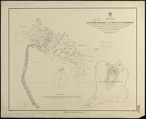
Relief shown by hachures. Depths shown by soundings and pictorially.
Includes coastal view of Sand Island.
- Identifier:
-
06_01_017495
- Call #:
-
G9096.P5 svar .U55 no. 4
- Barcode:
-
39999085960076