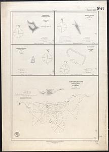
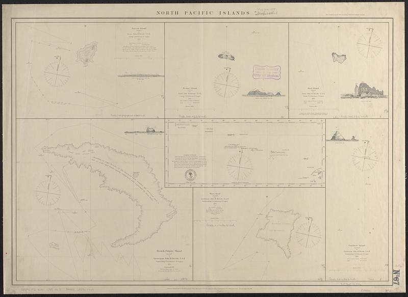
North Pacific Islands
Item Information
- Title:
- North Pacific Islands
- Issuing body:
- United States. Hydrographic Office
- Engraver:
- Barnard, Henry S.
- Draftsman:
- Knorr, E. R. (Ernest Rudolph)
- Engraver:
- Petersen, August
- Name on Item:
-
projected by E.R. Knorr ; engd. by H.S. Barnard and A. Petersen
- Date:
-
1885
- Format:
-
Maps/Atlases
- Genre:
-
Nautical charts
- Location:
-
Boston Public Library
Norman B. Leventhal Map & Education Center - Collection (local):
-
Norman B. Leventhal Map & Education Center Collection
- Subjects:
-
Laysan Island (Hawaii)--Maps
Necker Island (Hawaii)--Maps
Nihoa Island (Hawaii)--Maps
French Frigate Shoals (Hawaii)--Maps
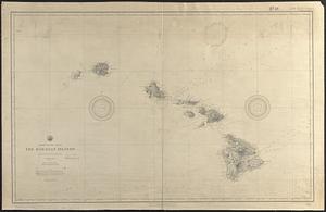
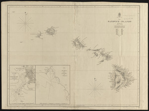
Hawaii--Maps
Maro Reef (Hawaii)--Maps
Gardner Pinnacles (Hawaii)--Maps
Nautical charts--Hawaii--Laysan Island
Nautical charts--Hawaii--Necker Island
Nautical charts--Hawaii--Nihoa Island
Nautical charts--Hawaii--French Frigate Shoals
Nautical charts--Hawaii--Maro Reef
Nautical charts--Hawaii--Gardner Pinnacles
- Places:
-
HawaiiHonolulu (county)Laysan Island (island)Leeward Islands (area)
HawaiiHonolulu (county)Necker Island (island)Leeward Islands (area)
HawaiiHonolulu (county)Nihoa (island)Leeward Islands (area)
HawaiiHonolulu (county)French Frigate Shoals (area)
HawaiiHonolulu (county)Maro Reef (area)
HawaiiHonolulu (county)Gardner Pinnacles (island)
- Extent:
- 7 maps on 1 sheet ; 53 x 76 cm
- Terms of Use:
-
No known copyright restrictions.
No known restrictions on use.
- Publisher:
-
Washington, D.C. :
Hydrographic Office
- Language:
-
English
- Notes:
-
Relief shown by hachures and spot heights. Depths shown by soundings and pictorially.
Includes 5 coastal views.
"Cor. June 1880. July 1885."
- Identifier:
-
06_01_017532
- Call #:
-
G9096.P5 svar .U55 no. 2
- Barcode:
-
39999085960449